 |    |
Interior U.S. Trip Part 2
(April - May 2023)
I needed to return to New Hampshire and decided to take the scenic route through the interior of the United States.This trip page recounts part two of my road trip to explore the interior of our nation. I want to encourage individuals to visit these states instead of flying over or driving through them! Part One is available here.
With regret I had to leave Mike; however, I had a lot of work planned on my lot. Route 93 in Arizona is now a familiar route with good memories, which helped me cope with my departure.
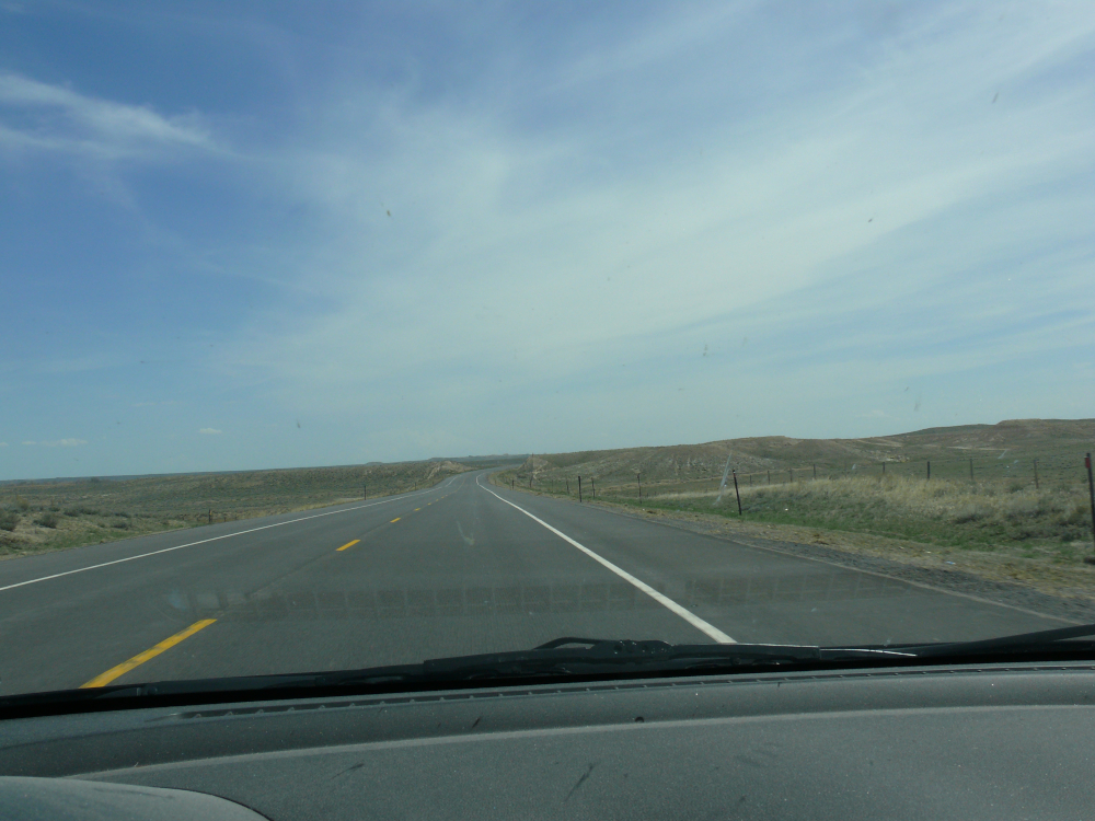
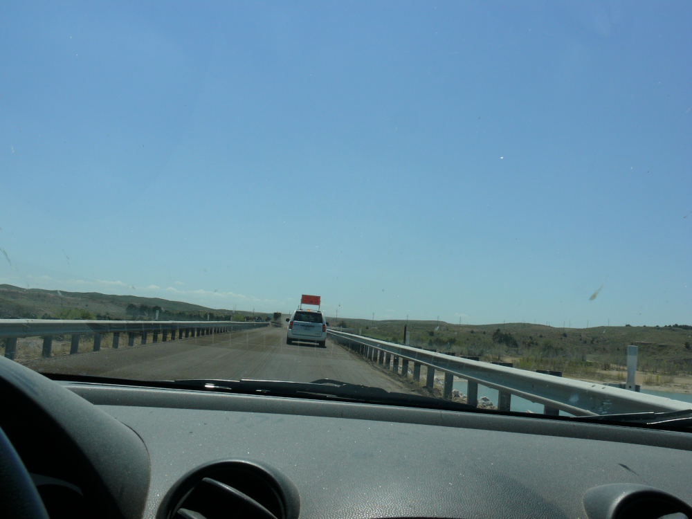
I did a better job loading the Mazda, and it drove and handled better. By better I mean loading the heavier items as far forward as possible. The rear wasn't as low either.
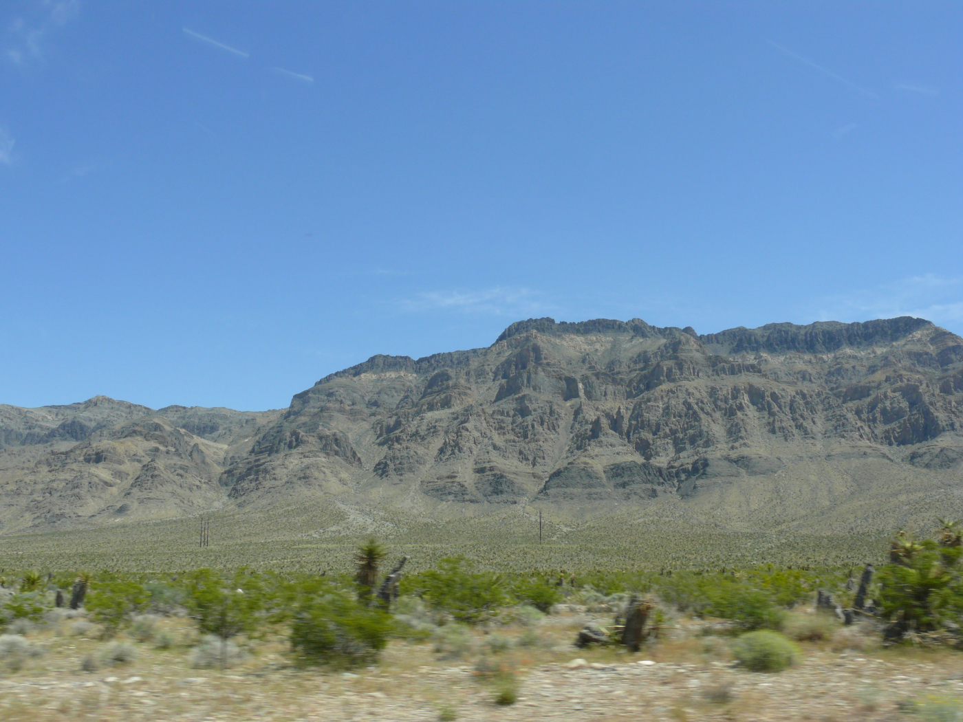
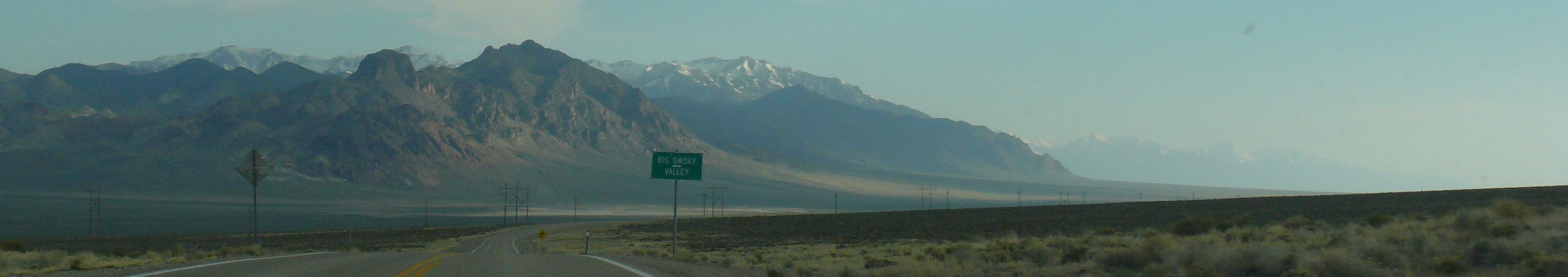
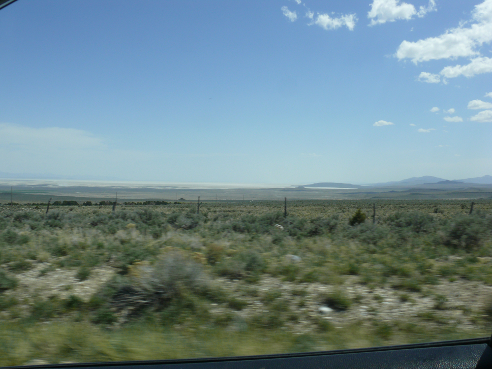
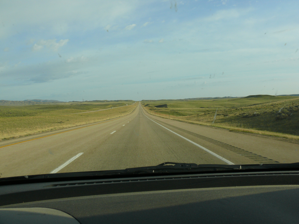
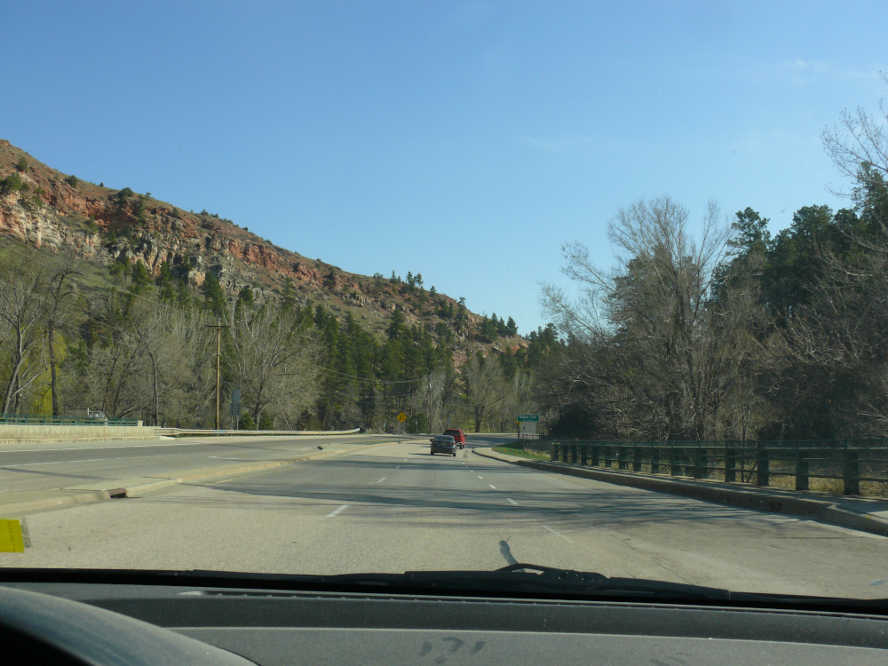
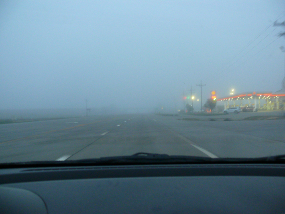
I took a decent shot out the side window while driving. Click for a larger view.
I traversed Vegas without problems to join the Extraterrestrial Highway (Route 375). There's supposed to be a large, black mailbox for the aliens to leave letters in Alamo, Nevada. I couldn't find it.
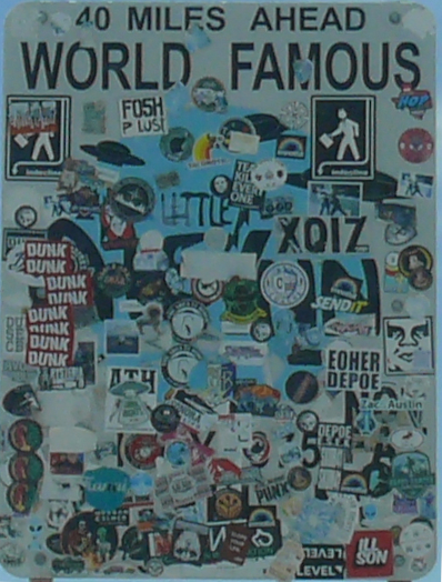
I did take a photo of a sign near Crystal Springs. Click for a larger view of the sign.
I paid $20 for a few gallons of fuel in Rachel. Yes, regular cost $6/gallon in that one-horse town! The entire town was alien themed, of course! The town was established in 1978 for miners who worked in the Union Carbide tungsten mine. It's named for the first child born in the town.
I drove the entire length of the highway and wasn't abducted! I did see some military vehicles traveling to the Tonopah Test Range.
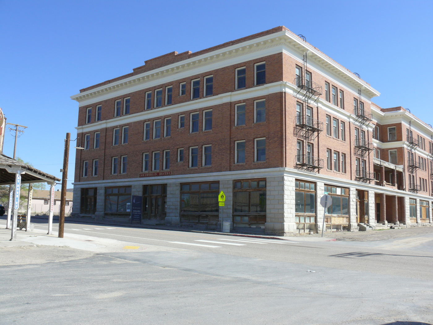
In Goldfield I saw a sign advertising the local radio station, 87.1 Radio Goldfield. Though I wasn't in Goldfield for that station. No, I wanted to visit the fictional KOW 980. That's where Super Soul transmitted tips to help Kowalski in Vanishing Point. The Goldfield Hotel still looks much the same. It's the largest building in town. Click for a larger view.
I stayed overnight in The Clown Motel in Tonopah. It's supposed to be famous around the world. It wasn't terribly clean, and the water pressure from the shower head was dangerously high! It was the only true motel in town with a vacancy. Evidently, there was a biker gathering. I saw a lot of motorcycles with Californian plates.
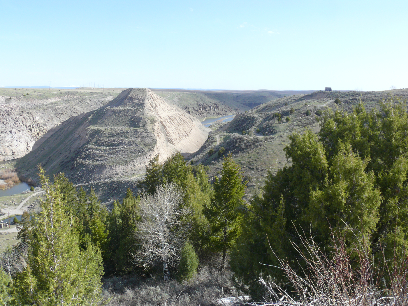
The next morning it was foggy, which took a few hours to burn off. I entered the Big Smoky Valley. It was smoky, too. There's not much in the valley. Manhattan is on a dirt road. I did pass a prison. Good spot for one. Click for a larger view.
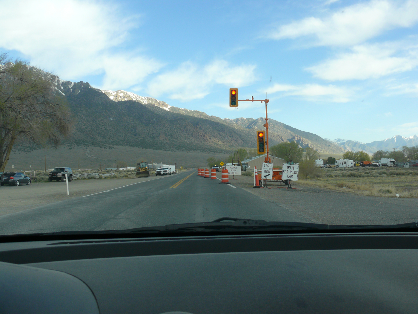
My progress was paused for about 20 minutes while I waited for the pilot car and pick-up truck "caboose" to lead me through the work area. It was a picturesque spot to stop, as you can see if you click the image.
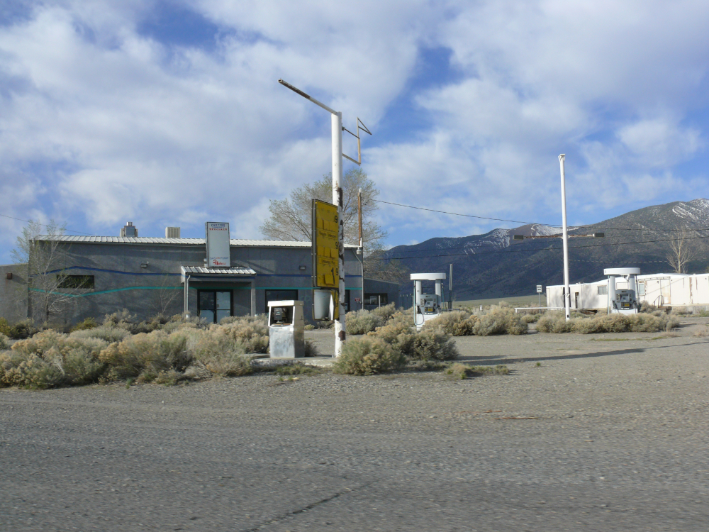
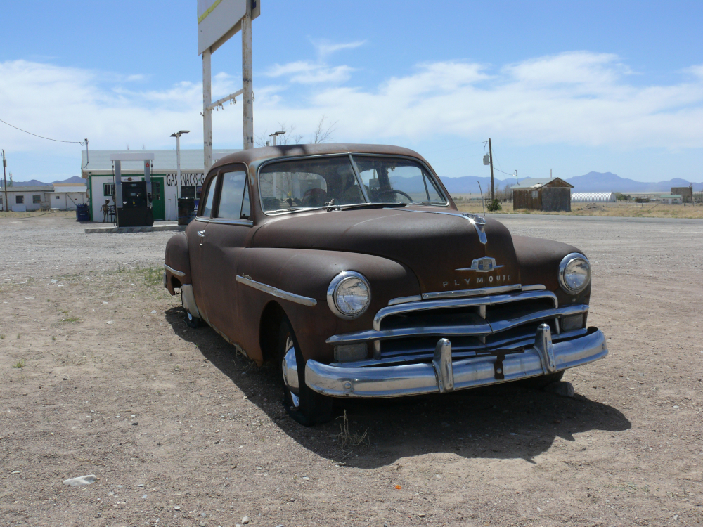
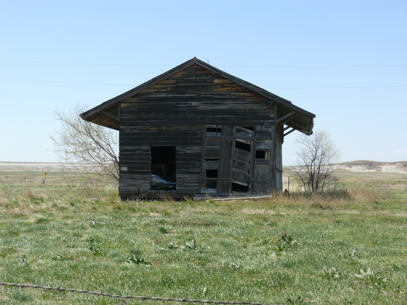
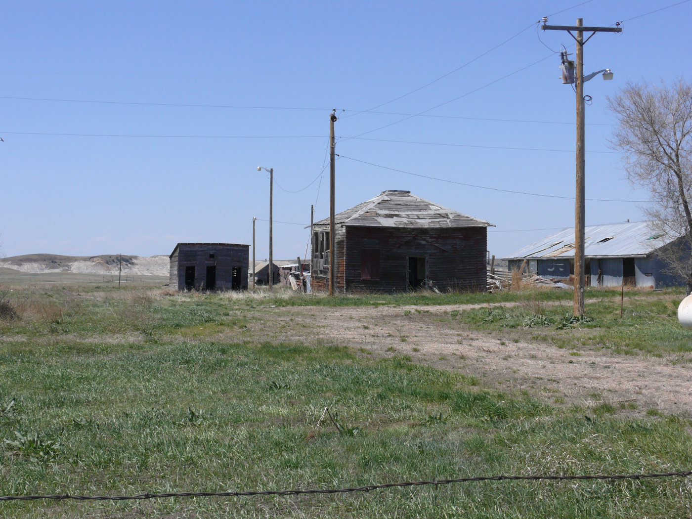
The reason why I visited Carvers was this dilapidated filling station. I couldn't stop because it was located in the work zone. Unfortunately, there's not much remaining of the original station, just a single pump. It was featured in Vanishing Point. See a screenshot here.
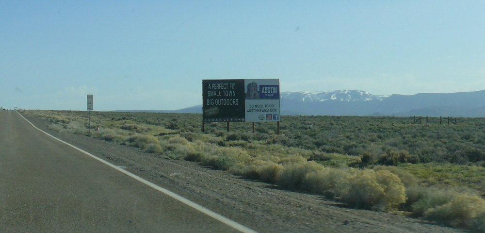
The pass to reach Austin was high, and there was snow on the terrain. The elevation was more than 7,000 feet. The car didn't care for it much. It was down on power!
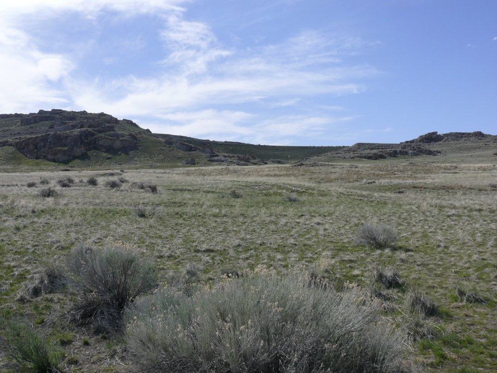
I skipped visiting Bonneville Speedway, because it was closed to the public. I did see the salt flats from Route 30 in Utah. A closing comment about Nevada is the open space and cattle grates!
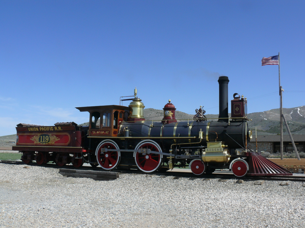
I visited Golden Spike National Historical Park. The Central Pacific and Union Pacific Railroads nearly met at Promonitory Summit. The two grades didn't line up so sidings were united. This Park is unique in that everything there is faked. The locomotive was built in 1979. All the tracks are reproductions. The originals were pulled up in 1943 for the war effort. Even the first golden spike and two silver spikes have been shipped to museums on the two coasts of the U.S. The second golden spike has been lost. Also, I didn't care for the shaming of white people for killing Indians who attacked the railroad crews. The only good point of this Park is learning about the evolution of the shape and material of the rails. Don't waste your time visiting this park!
On the way out, I stopped to view The Big Fill executed by Central Pacific. The 500 foot span bridges Spring Creek Ravine. It shows the original grade of the railroad.
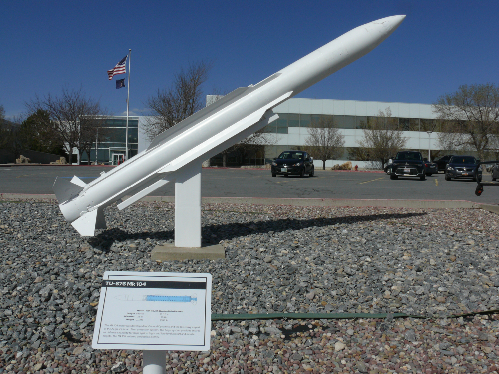
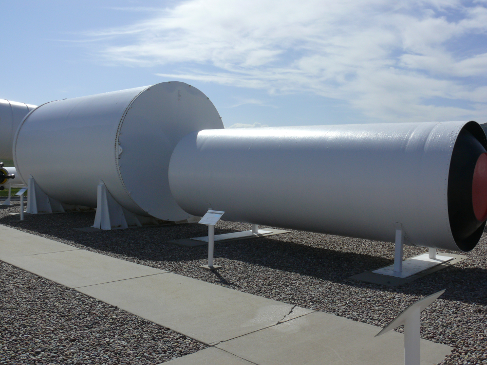
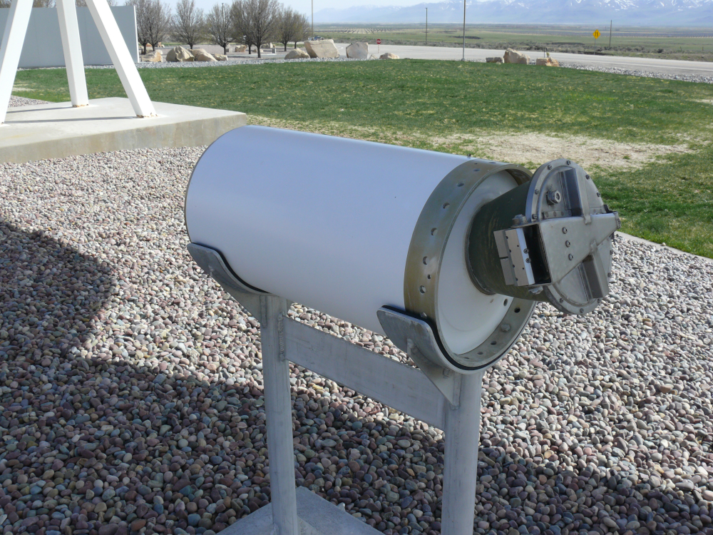
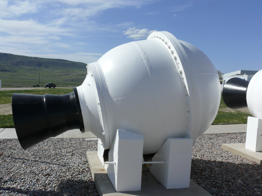
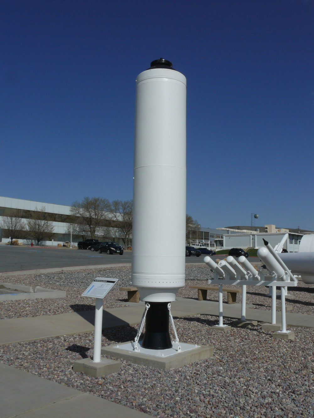
My mood was improved when I stopped at Northrop-Grumman Orbital ATK's (Thiokol originally) missile park. This MK 104 motor powered the Aegis shipboard fleet protection sysgtem. I'll list interesting information below photos. For instance:
Powered RIM-66/67 Missile, Length: 9 feet, Weight: 1.073 pounds, First Produced: 1985
The TU-903 motor was made of Kevlar and had a flexible thrust control nozzle.
Powered Peacekeeper ICBM, Length: 28 feet, Weight: 107,000 pounds, First Flown: 1983
Space Shuttle Booster Separation Motor pushed the reusable Solid Rocket Motors away from the Space Shuttle fuel tank. Each Booster was equipped with eight of these motors.
Length: 32 inches, Weight: 167 pounds, Thrust: 85,000 pounds.
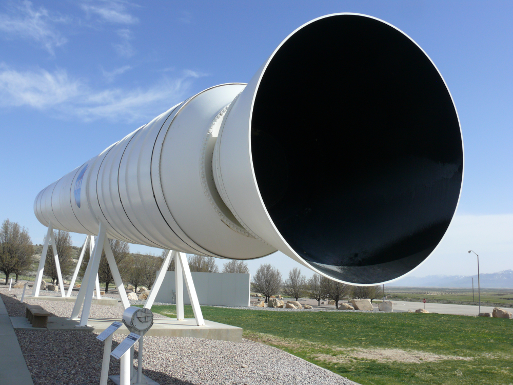
Solid Rocket Motor, Length: 149 feet, Weight (full): 1,255,978 pounds, Thrust: 2,600,000 pounds, Burn Time: 122 seconds.
Big B. was a solid propellant rocket motor developed in the '50s. Weight: 12,000 pounds.
The TX-140 was the first large solid propellant motor. Produced in 1950 for the Hermes A-2 Missile Program. It is the basis for many modern rocket motors. Length: 14 feet, Weight: 6,171 pounds, Thrust: 36,800 pounds, Burn Time: 24 seconds.
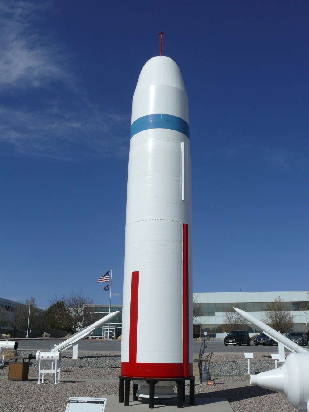
This is a Trident C-4 Missile. It is a submarine-launched ICBM. Length: 34 feet, Weight: 73,000 pounds.
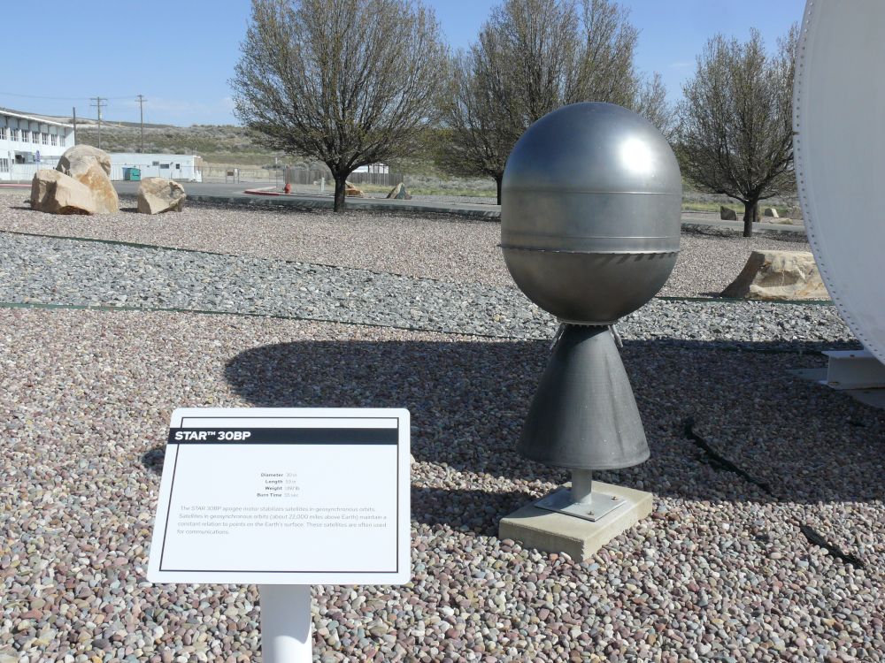
The Star 30Bp stabilizes satellites in geosynchronous orbit. Length: 59 inches, Weight: 1,197 pounds, Burn Time: 55 seconds.
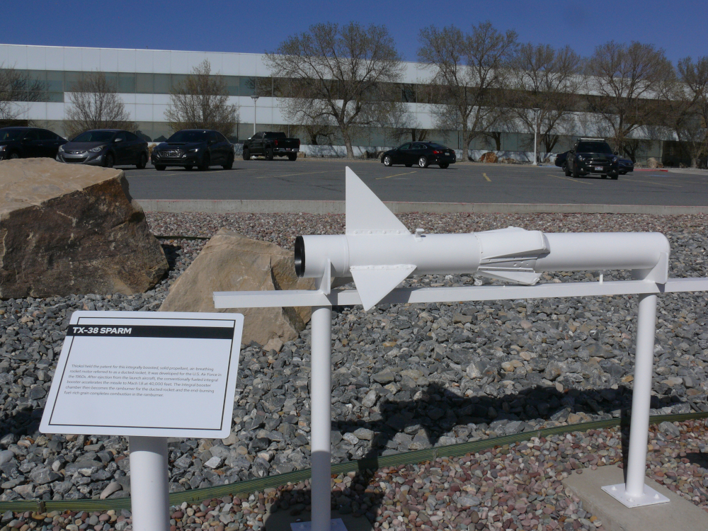
The TX-38 SPARM is a rocket motor developed in '60s to power aircraft missiles. Speed: Mach 1.8 at 40,000 feet.
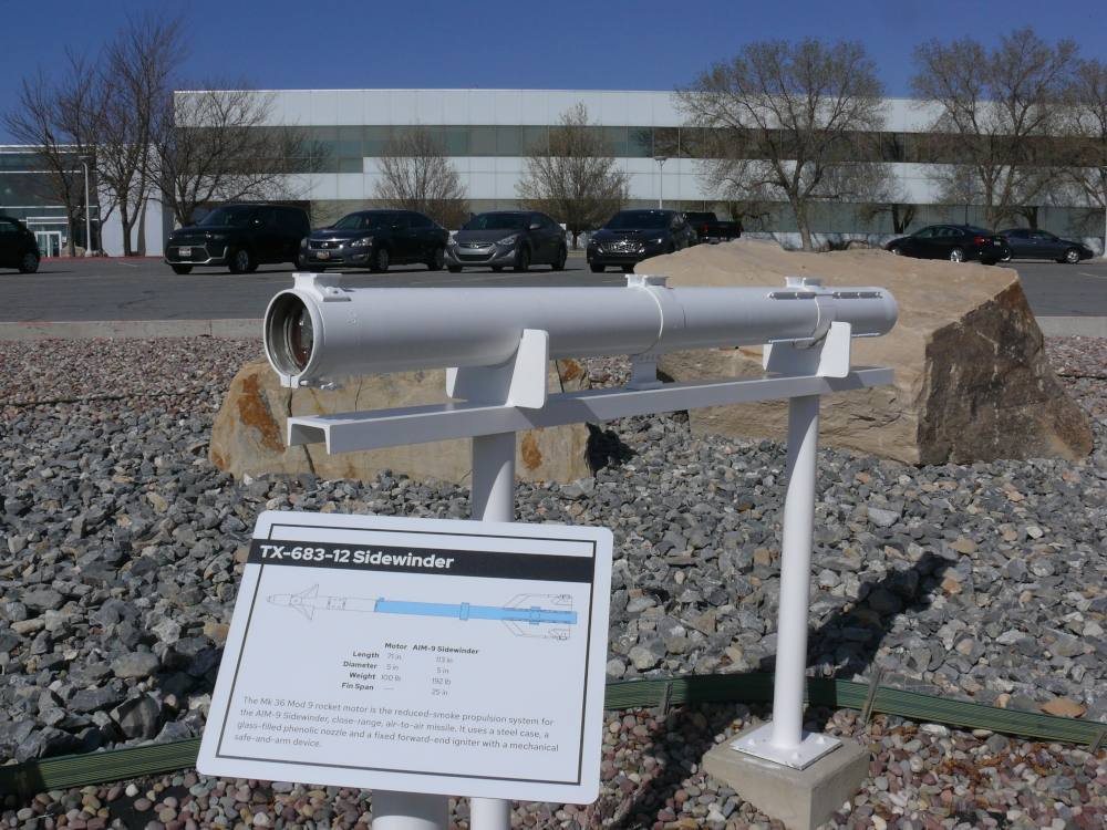
The Mk 36 Mod 9 Rocket Motor powers the AIM-9 Sidewinder. This air-to-air missile is seen in many films. (Motor/Missile) Length: 71 inches/113 inches, Weight: 100 lbs/192 pounds.
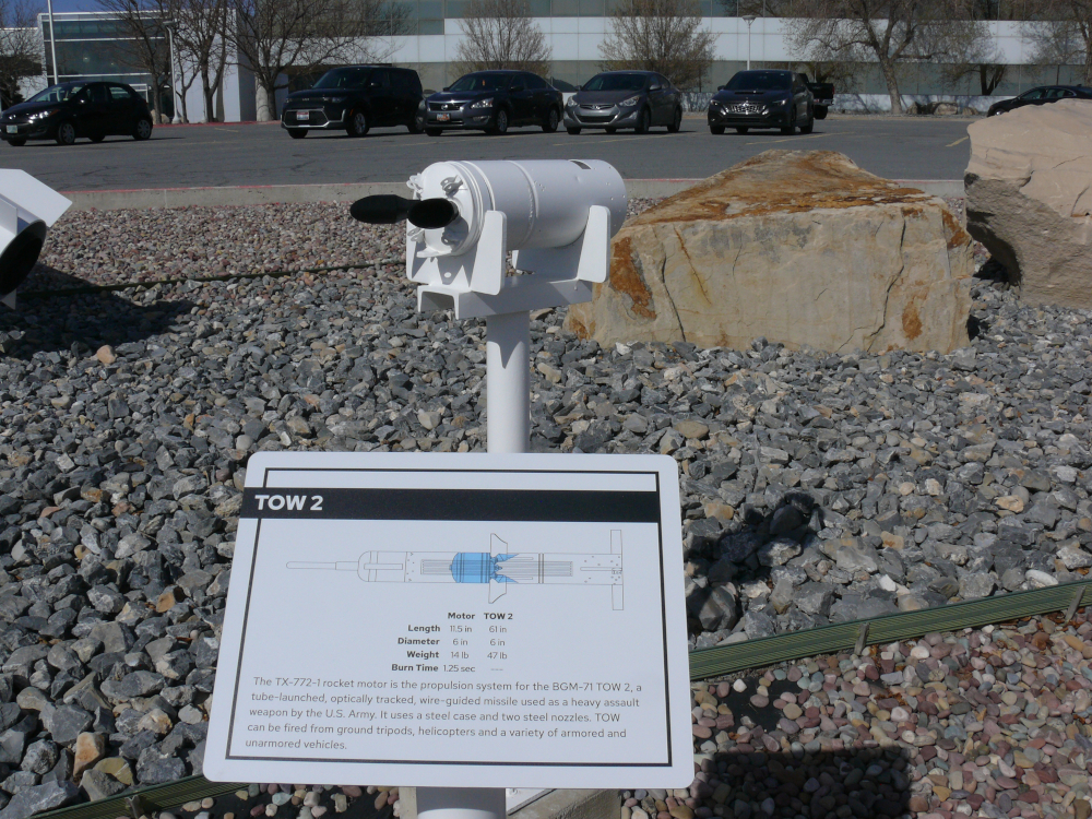
The TX-772-1 Rocket Motor powered the Tube-Launched, Optically-Tracked, Wire-Guided Missile (TOW), which was an anti-tank weapon. Length: 12 inches, Weight: 14 pounds, Burn Time: 1.25 seconds.
I continued north into Idaho. The speed limit jumped to 80 mph! I stayed in Burley.
I had planned to visit Craters of the Moon National Monument; however, the loop was closed due to poor weather. Also, I skipped Arco and Atomic City. These ghost towns are located near the notorious Idaho National Laboratory. Both are sites of nuclear meltdowns in the '50s and are slightly radioactive! I didn't know about the radioactivity when I made my plans. Learning that fact and the fact that Idahoans are a bit odd, I decided to skip ahead.
On the way to the next stop, I saw another Mazda 2. He waved back.
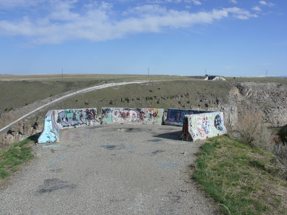
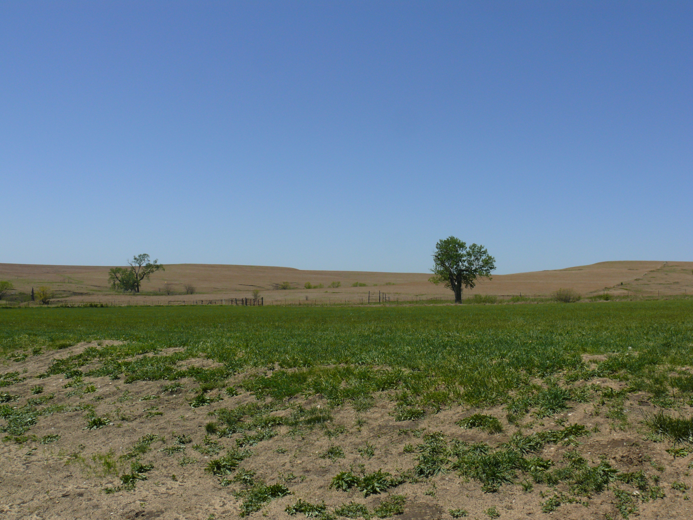
Pictured above is an overlook off a state route among farmers' fields. Even in rural Newdale, Idaho, urban "art" decorates it! From there, one may take in the remains of the Teton Dam. It was washed away on the 5th of June, 1976. A lot of property damage was incurred, and sadly, 14 individuals were killed. It's difficult to believe that such a disaster happened in modern times. Below are some views of the remains of the dam:
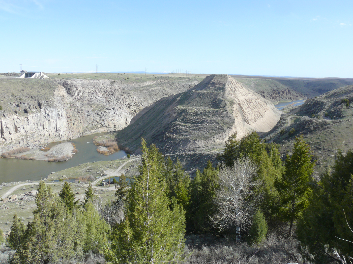 |  |
It's kind of hard to see the Teton River high enough to demolish a dam. See what I mean here.
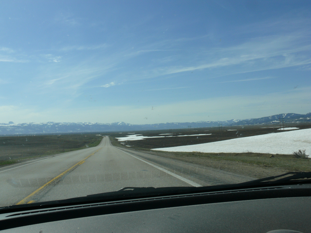
I headed east toward the Rockies, passing a lot of potato farms. Yes, that is snow, and the date was the 2nd of May. Elevation makes big difference, as I was around 6,000 feet. In fact, I had been at that height for the past day!

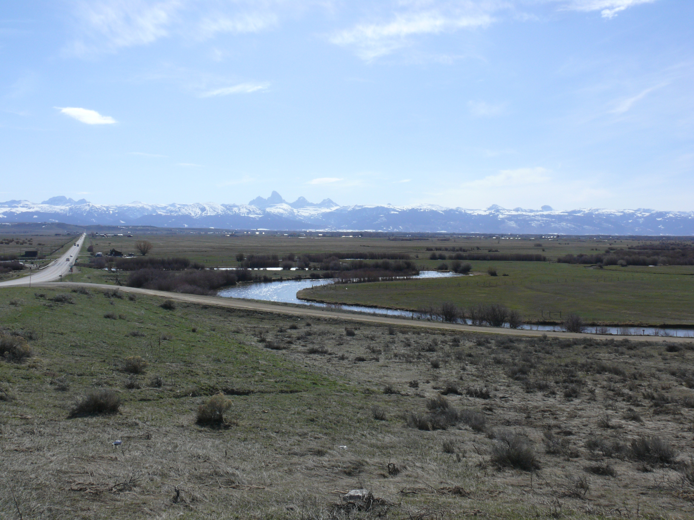
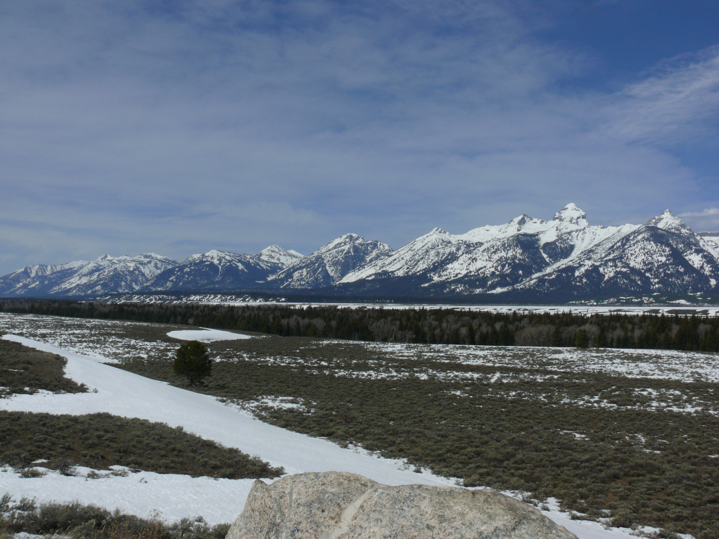
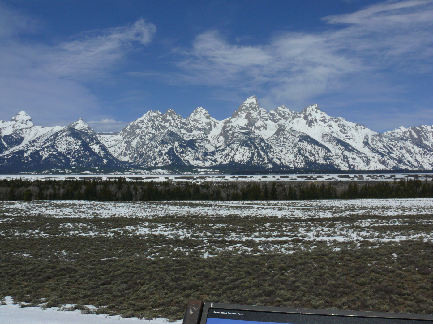
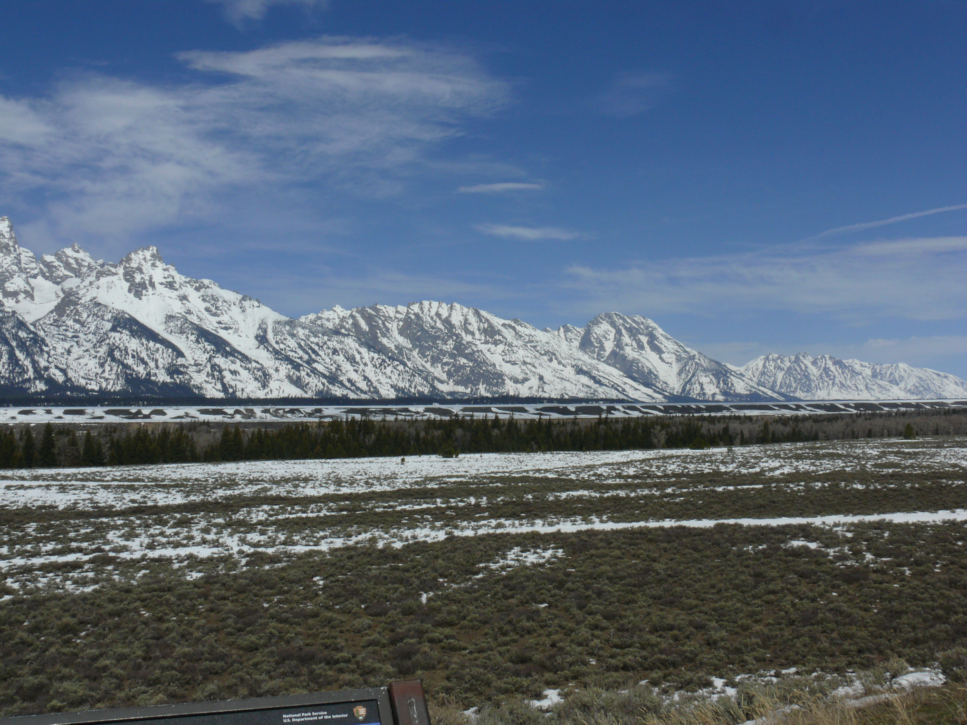
I stopped at overlook to take in the Teton Range. Click for a larger view, or view a stitched image here. It's not perfect, as the wind was blowing me around!
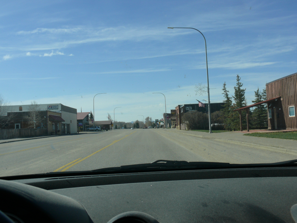
Ever wonder what small towns in Idaho/Wyoming look like? Wonder no longer! This is the downtown of Tetonia.
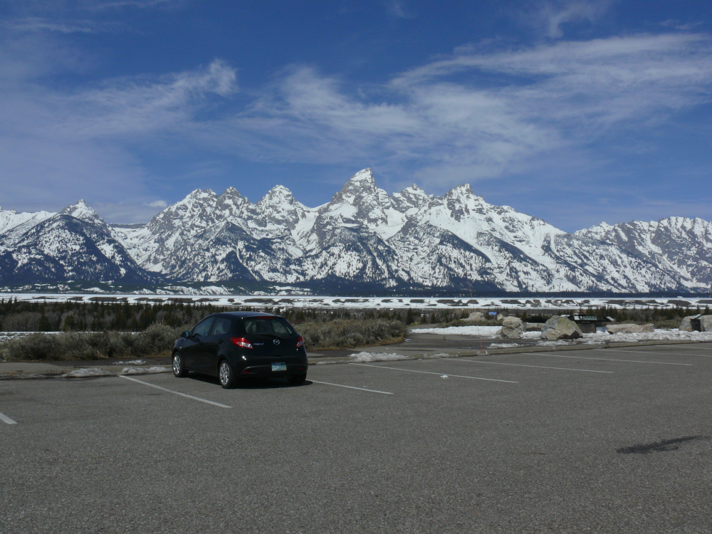
I passed through the unpleasant and obnoxious resort of Jackson, Wyoming to see Grand Teton and the nearby peaks. They are the namesake of Grand Teton National Park and are impressive to see! Here are some other shots:
 |  |  |
This area is where the Mountain Men roamed.
I decided against visting Yellowstone. I've already seen a geyser in Iceland!
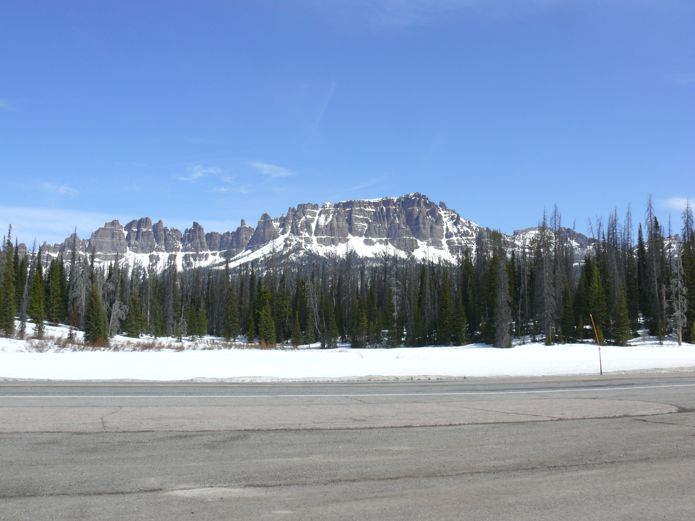
I crossed the Continental Divide at Togwotee Pass (elevation 9,658 feet!) It receives about 300 inches of snow every winter. That's 25 feet!
I stopped to visit a memorial. I was taken by this pretty landscape! I believe that these formations are The Breccia Cliffs. Click for a larger view.
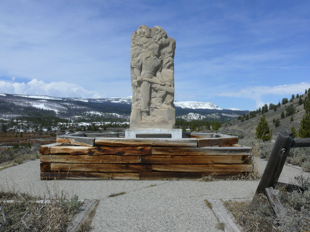
This Art Deco monument commemorates the tie hacks. These men quickly turned standing trees into railroad ties by hand! No chainsaws or Alaskan mills for those hardy men. The ties were floated down the Wind River to Riverton where they were loaded on trains to build the Chicago and North Western Railway.
Burris seemed like a pleasant town in the Wind River Indian Reservation.
This formation was one of the last before High Plains Country.
Welcome to the High Plains. It's an area where the settlements are small and widely separated.
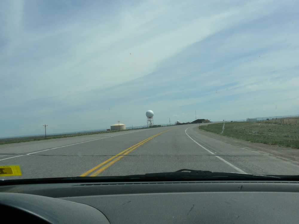
Just outside Riverton is a National Weather Service Office complete with a sphere. Could it be for Doppler radar?
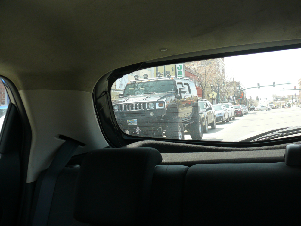
In downtown Riverton, I saw this lifted H3. I think it rivals Mike's Jeep.
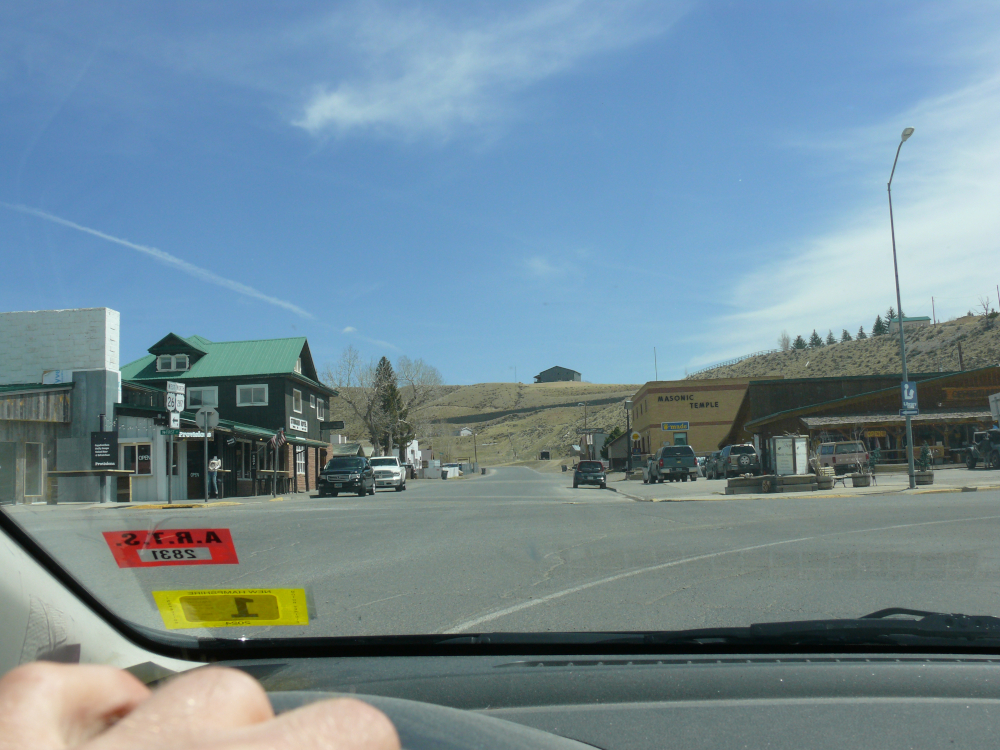
I wasn't impressed by Casper so I continued north to Kaycee. I was running low on fuel, which is not unexpected in this area of the nation. The lady at the Shell station directed me to the Sinclair, as her pumps were out of order. I did ask if there was a motel in town. She said there were two.
I selected The Cassidy Motel. It's named for Butch Cassidy, of course. Mike and visited one of his hideouts near Canyonlands. The room had paneling that reminded me of the '80s. It was quite quaint. I purchased supplies at the General Store. I learned from a friendly local that the bar sold "package beer". Basically, it's beer to go sold at the bar. Also, I found something that I haven't seen in at a least a decade. See it here.
After a very comfortable sleep at The Cassidy Motel, I set out north. The High Plains look like the above photo.
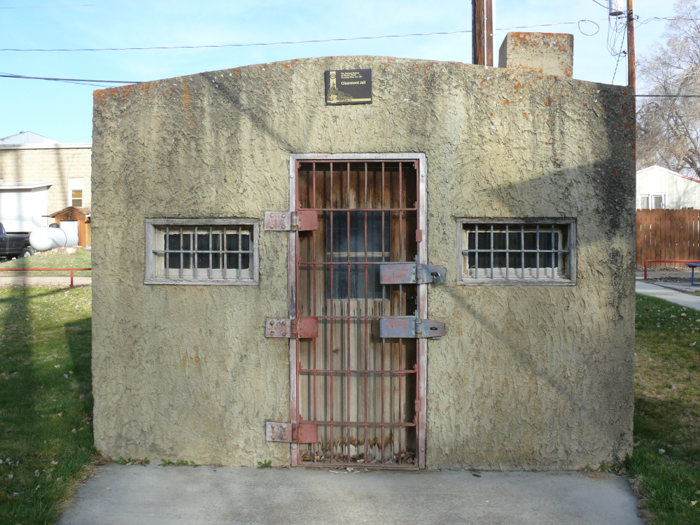
In Clearmont, the original jail still stands in a park. There was a sign that stated "play at your own risk". The bases of the branding irons are still there, also. See them here.
I drove some of the loneliest roads that I've seen yet. A farmer waved to me, because no one but locals drive that route. I stopped at Spotted Horse. Population: 2. I think both were out of town
The significance of this town is that Peter Fonda's motorcycle broke down here. There was supposed to be a statue dedicated to the event. I didn't see one, so it must have been in the closed bar. Click for a larger view.
Here's another typical shot of this corner of Wyoming.
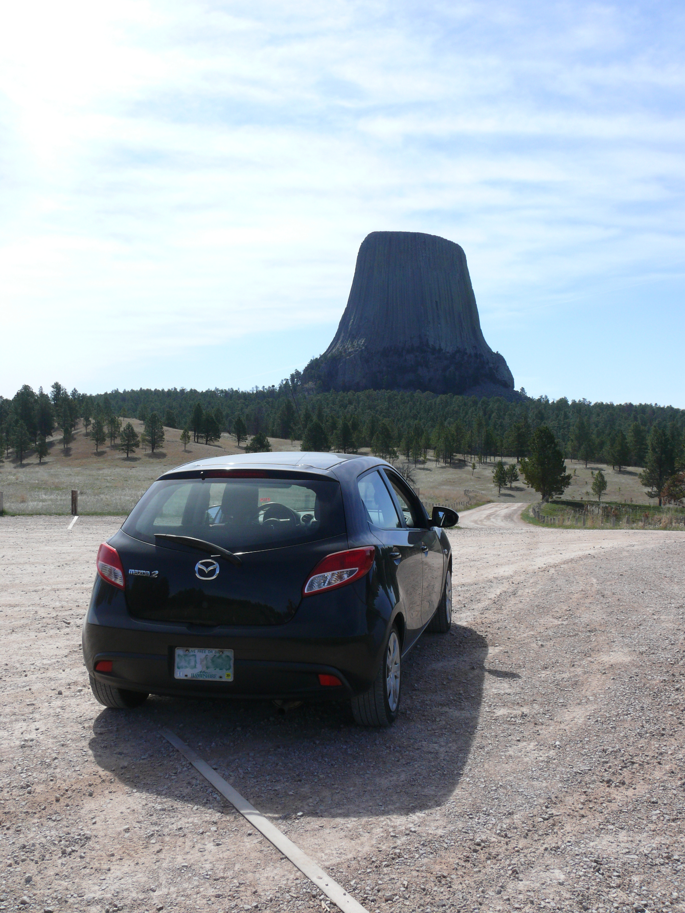
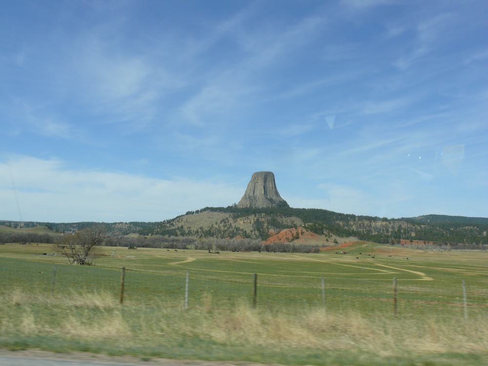
Devils Tower should be familiar to many individuals. It's a good thing that I picked up some mashed potatoes in Idaho! The formation is America's first National Monument and stands at 5,112 feet above sea level. It's a busy Monument. People climb the Tower and hike around it.
It was formed by magma pushing above the ground. After it cooled, erosion created its distinctive sides. The base is about 1,000 feet around and rises 867 feet. Take a look at this full-size image [4.6 MB].
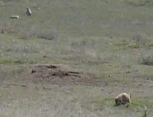
Prairie Dog Town was fun to see. They make a peculiar sound that's similar to squirrels, but less obnoxious! Click for a shot of a few dogs.
I paid to enter the Monument; however, it's easy to get good shots without paying the fee. I took this shot quickly while driving away.
I crossed into South Dakota. I definitely enjoyed my time in Wyoming!
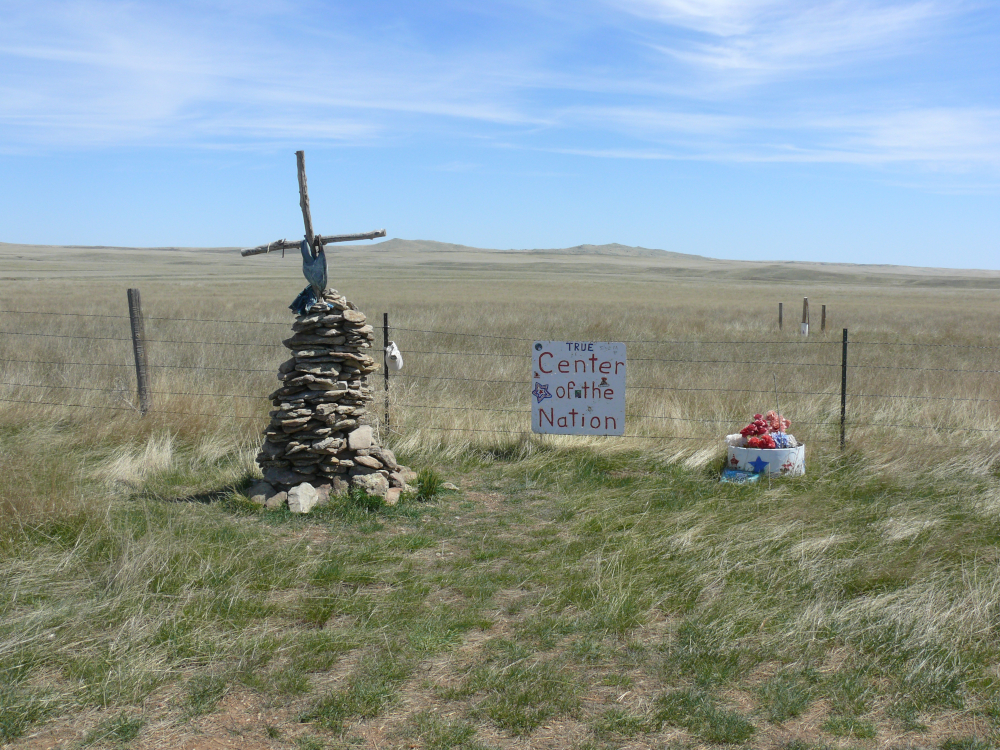
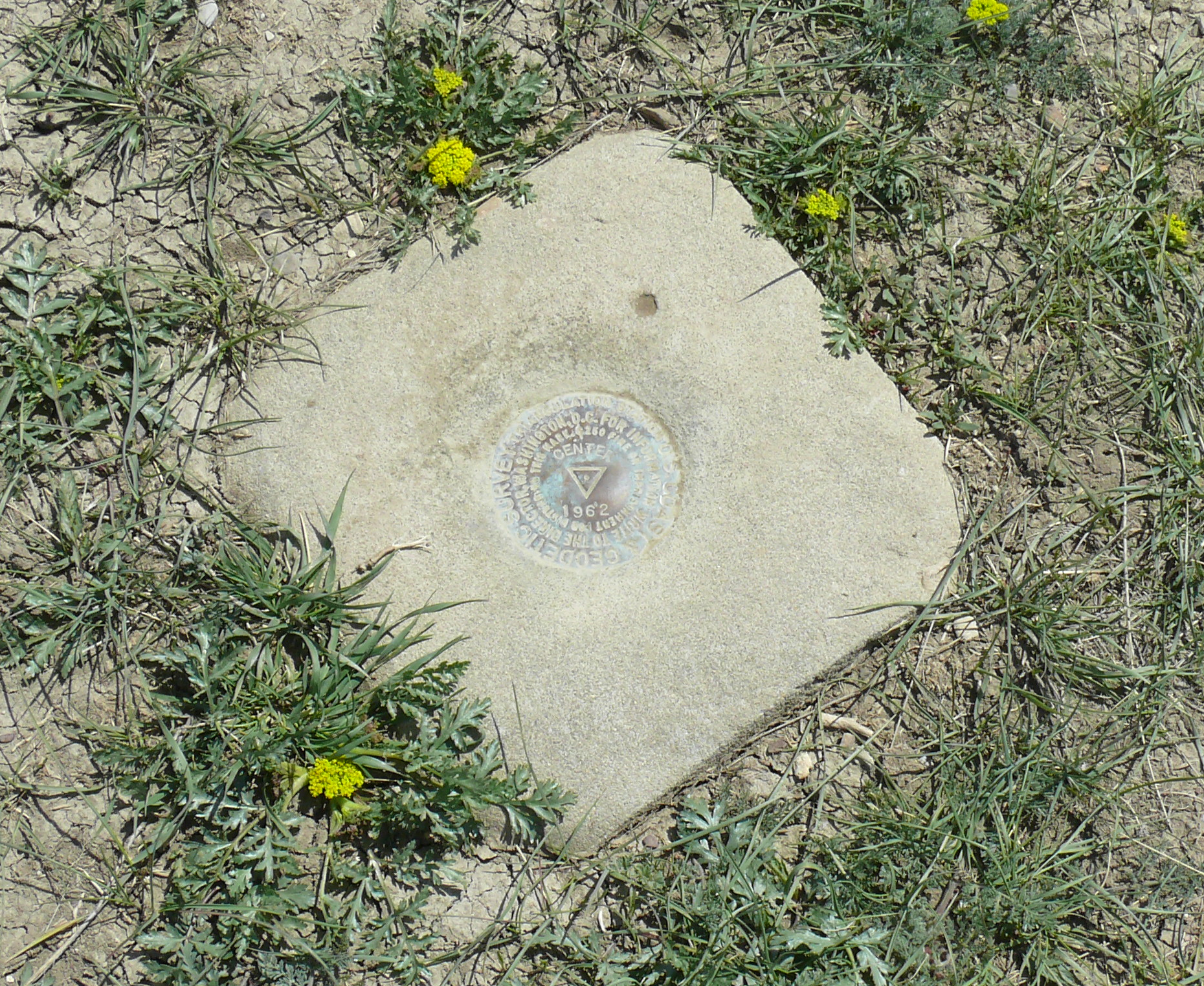
North of Belle Fourche, South Dakota, on Old Route 168 is the "True Center of the Nation". You see, in town there's a museum claiming to be built on the Geographic Center of the Nation. I drove by that museum, of course! The true marker is in a field that's kindly maintained by a rancher.
Through a gate, it's a 50 yard walk to a flag. Click for a shot of the actual marker. There's nothing much around. Here's a video [21.2 MB].
I stayed the night in a biker motel. It had no fridge. It's in the Whitewood, which is adjacent to Sturgis. I was the first to put a pin in New Hampshire on the map in the motel office.
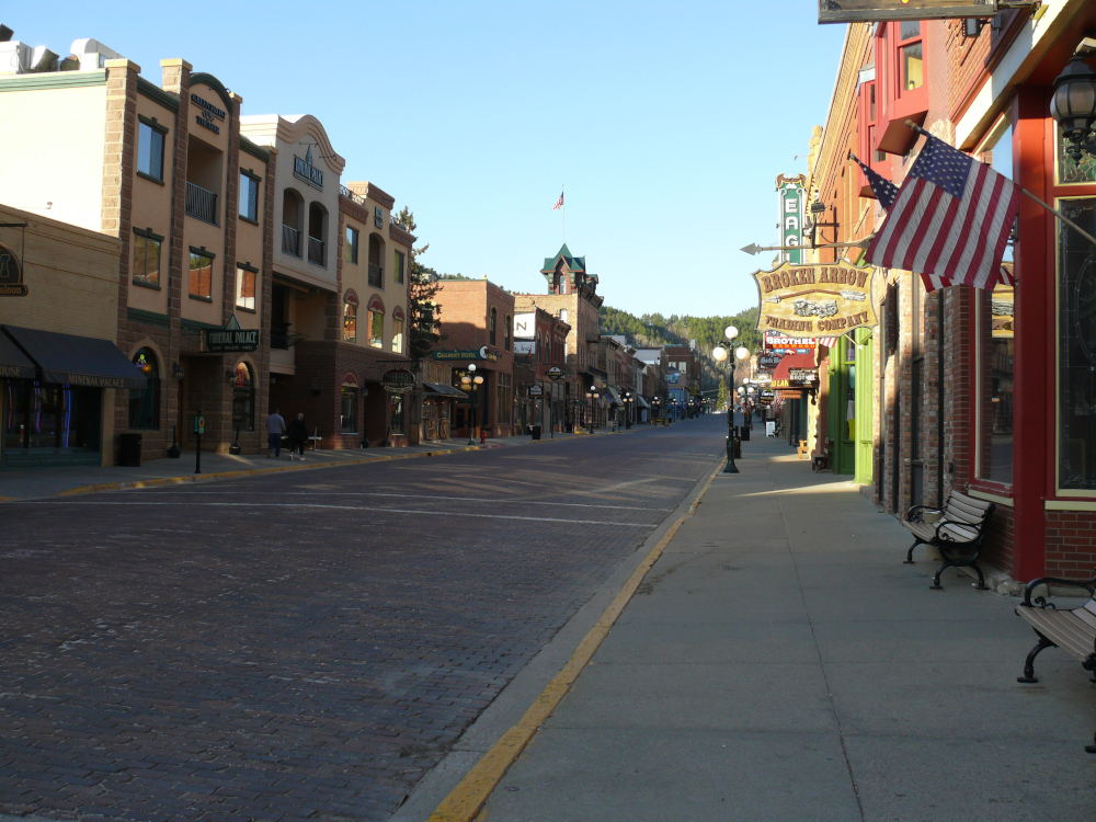
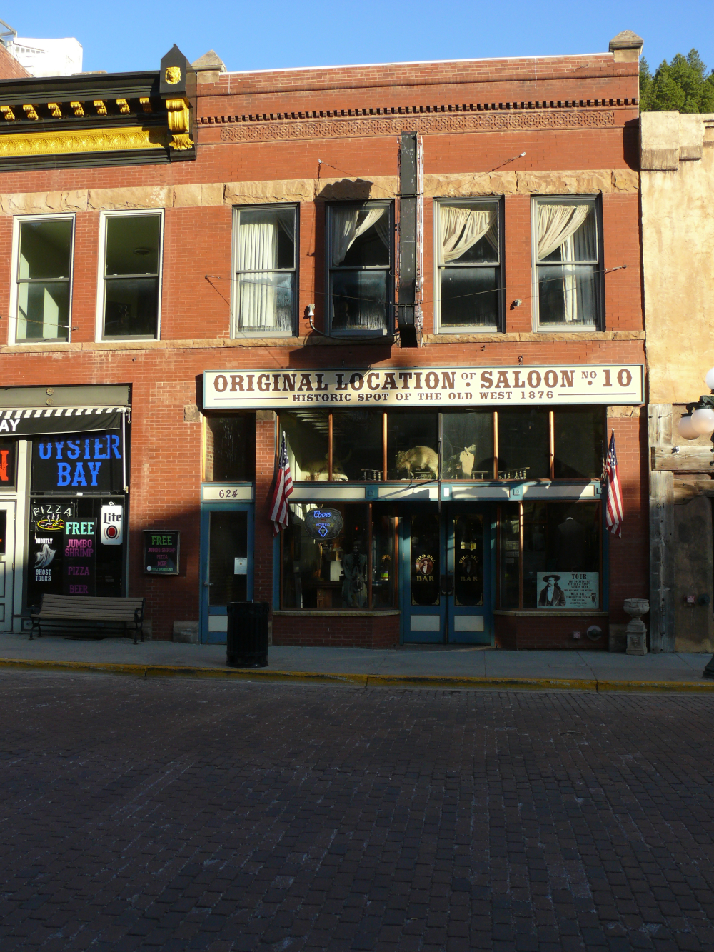
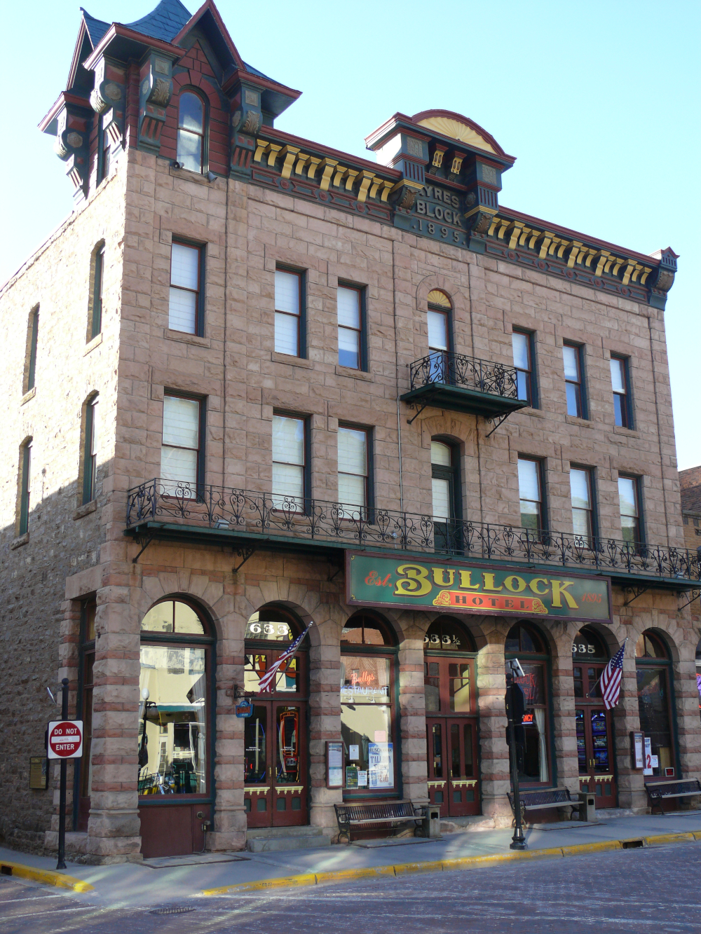
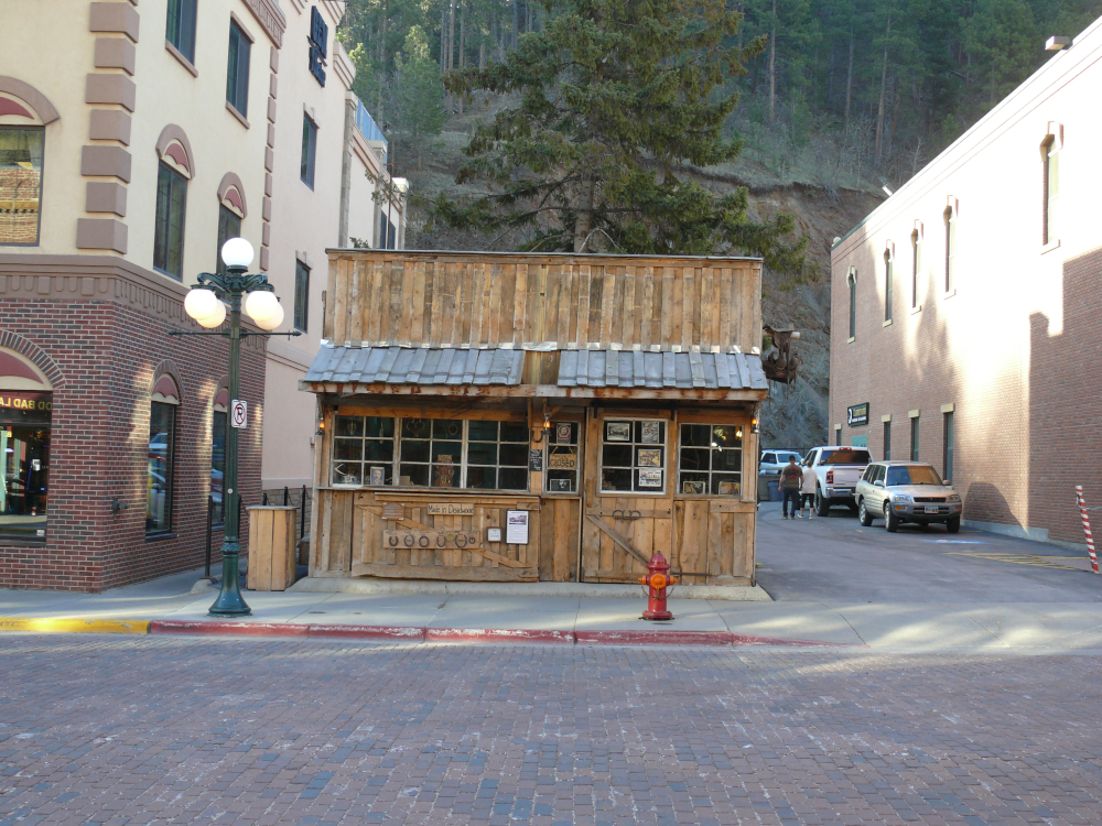
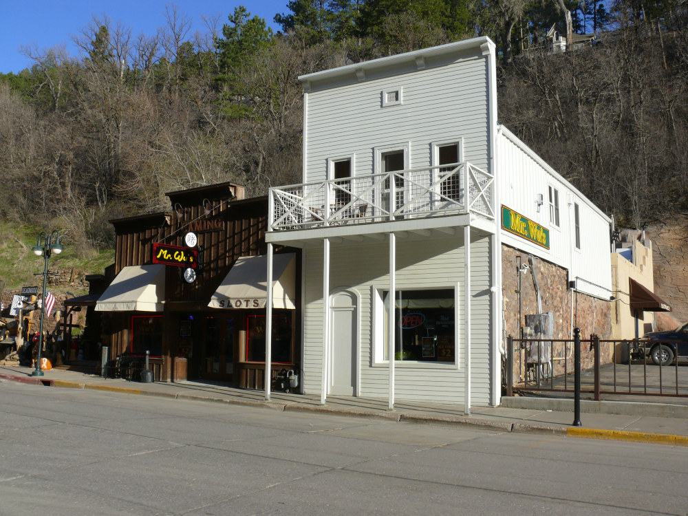
The next day I visited downtown Deadwood. Wild Bill Hickok was shot dead here. That was back when all the buildings were wooden. The brick buildings were built when the originals inevitably burned down. It sure was dead. I spoke with an elderly man while walking back to the car.
The excellent TV program Deadwood was set in this town nestled in the Black Hills.
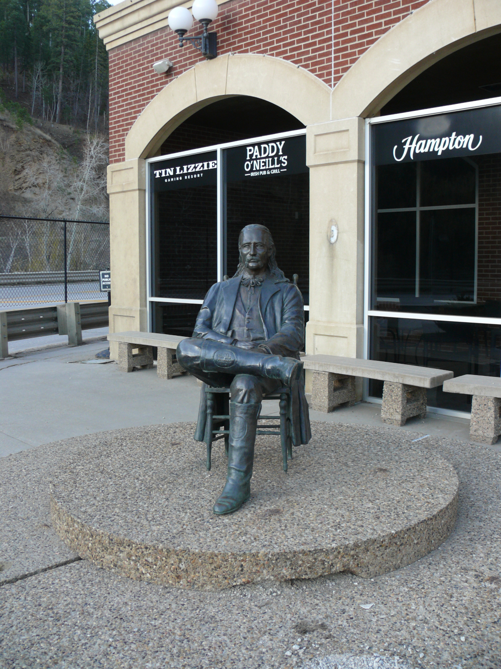
Just south of the downtown is a life-size, bronze sculpture of Bill. Below are some photos of the town.
 |  |  |  |
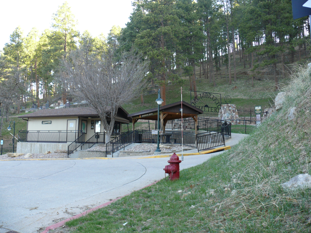
Mt. Moriah Cemetery is the resting place of Wild Bill and Calamity Jane. It was closed for the season, unfortunately. It's up a steep hill.
Next stop was Rapid City. This community was established at the base of the Black Hills. It features The Presidents Walk in its downtown. Life-sized statues of nearly all of the Presidents stand on street corners. I snapped shots of a number of them. Here are shots of them in no particular order:
 |  |  |  |  |  |  |  |
 |  |  |  |  |  |  |
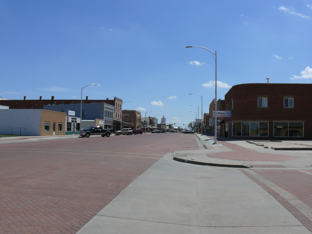
It was a perfect day for walking around the downtown. I snapped some photos of the buildings:
 |  |
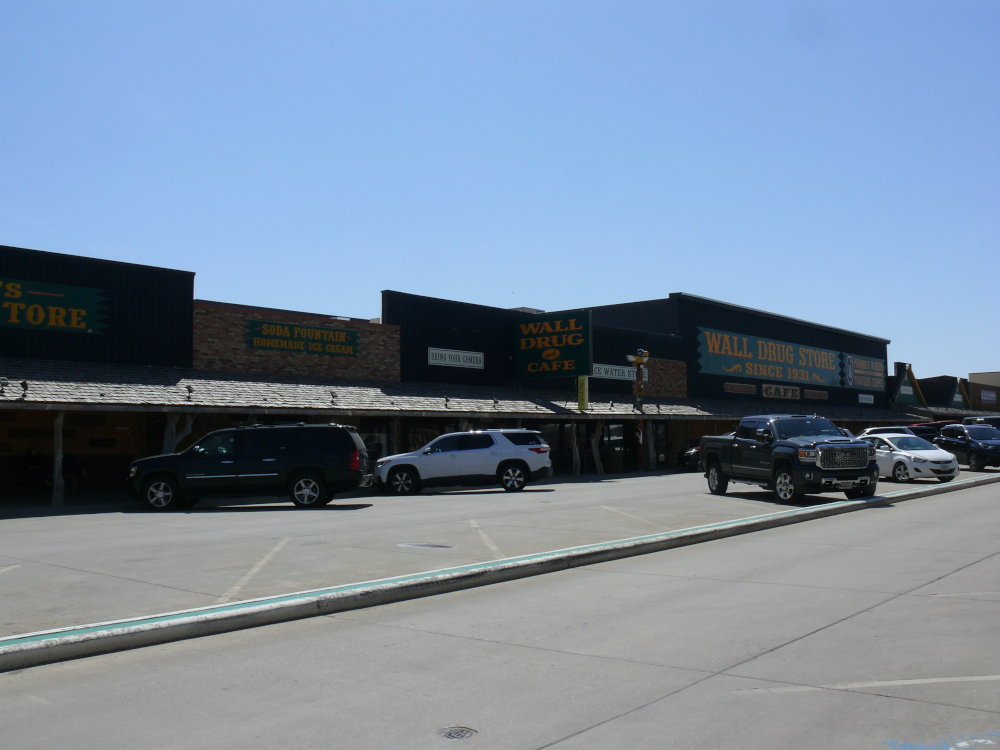
I had seen signs for Wall Drug for hundreds of miles. All the way back in Idaho, even! I had to stop and see what the fuss is about. Wall Drug Store occupies an entire block. Pictured above is about half of the frontage! I didn't go in, because it was very busy. I snapped a few of the signs: one, two, and three
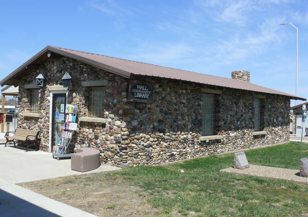
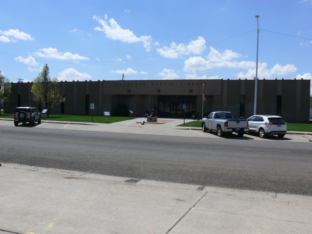
I was more interested in the town library. It's made of stone!
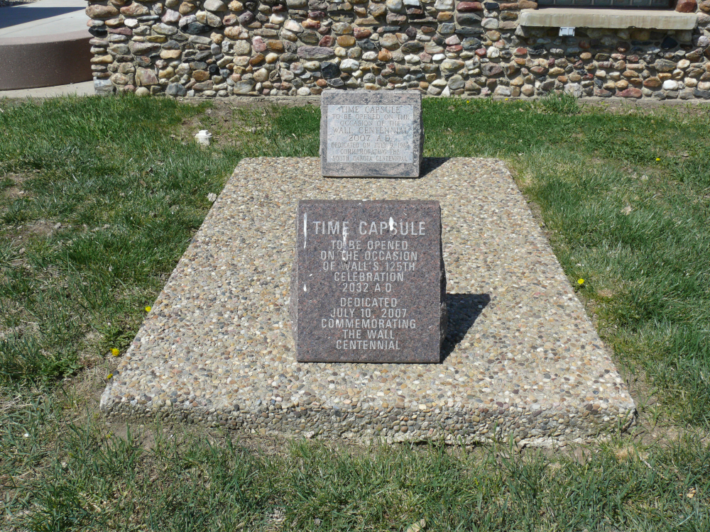
Adjacent to the library is a time capsule that's due to be opened in nine years.
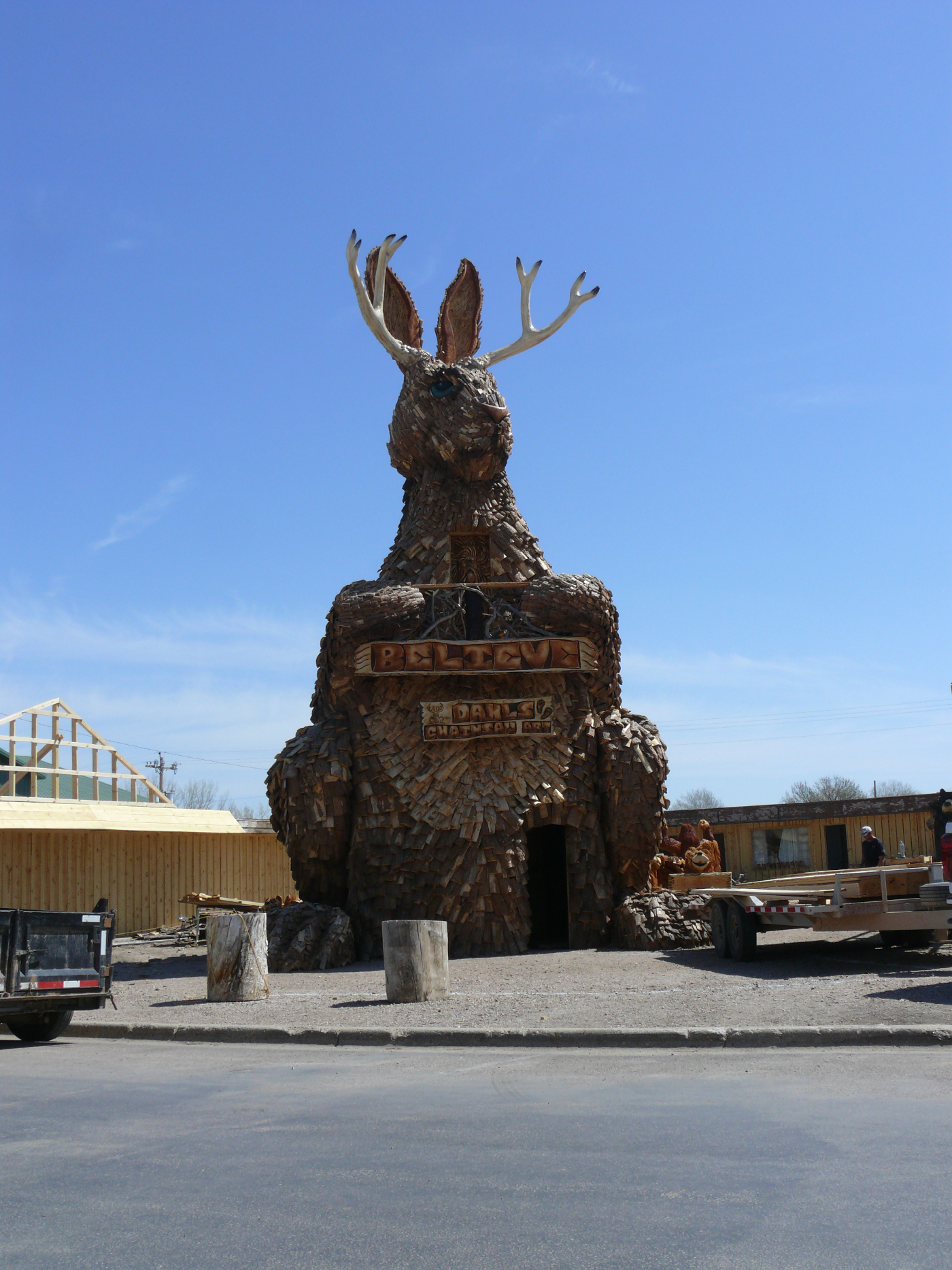
On the way out of town, I snapped a shot of this impressive rabbit with antlers. Click for a larger view.
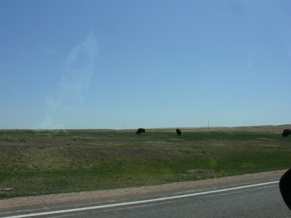
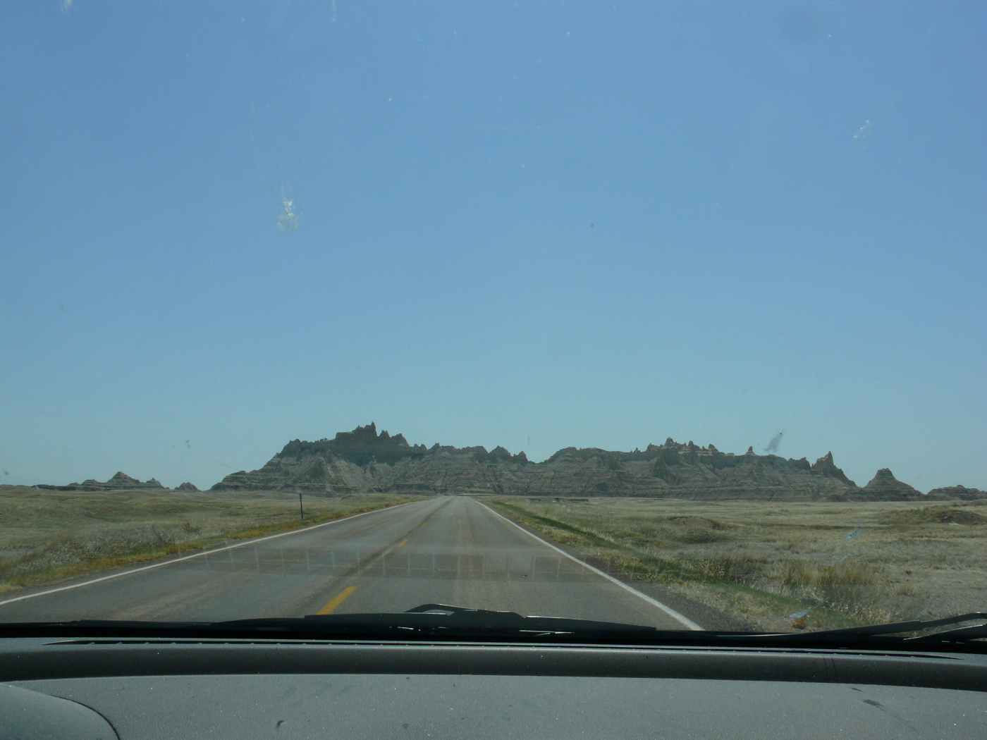
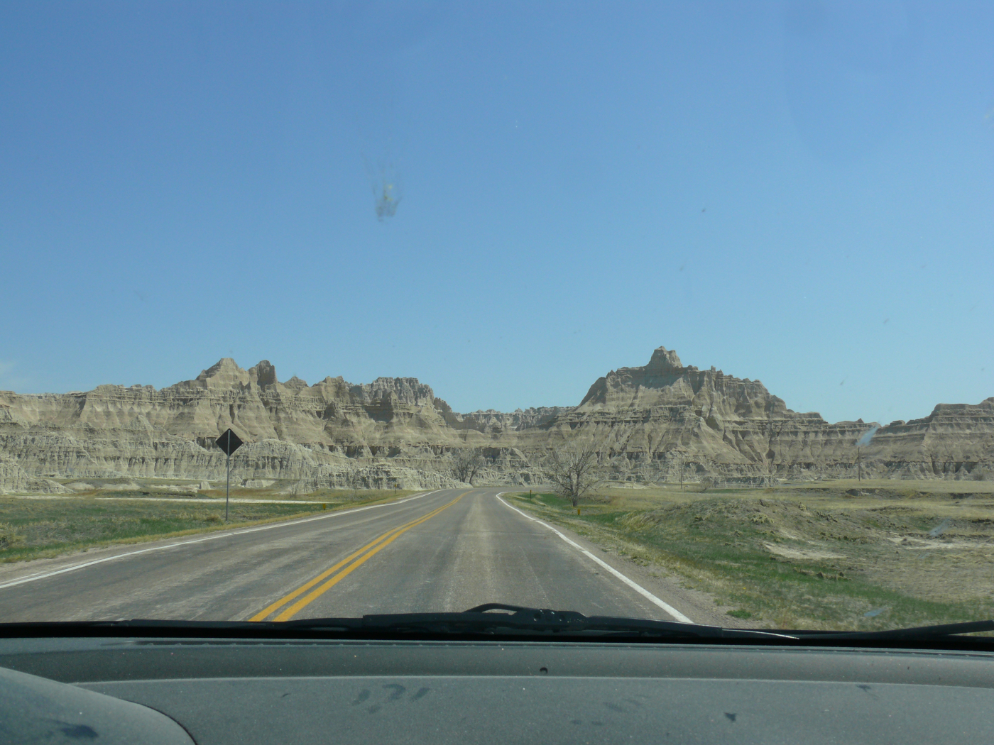
Shortly after entering Badlands National Park, I saw buffalos.
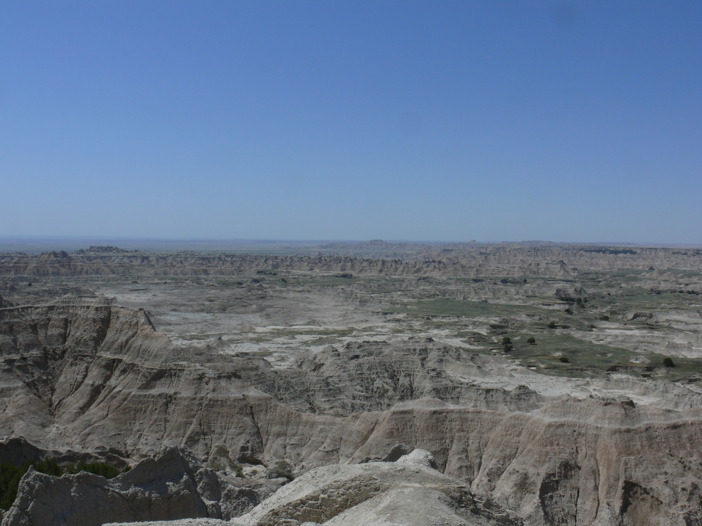
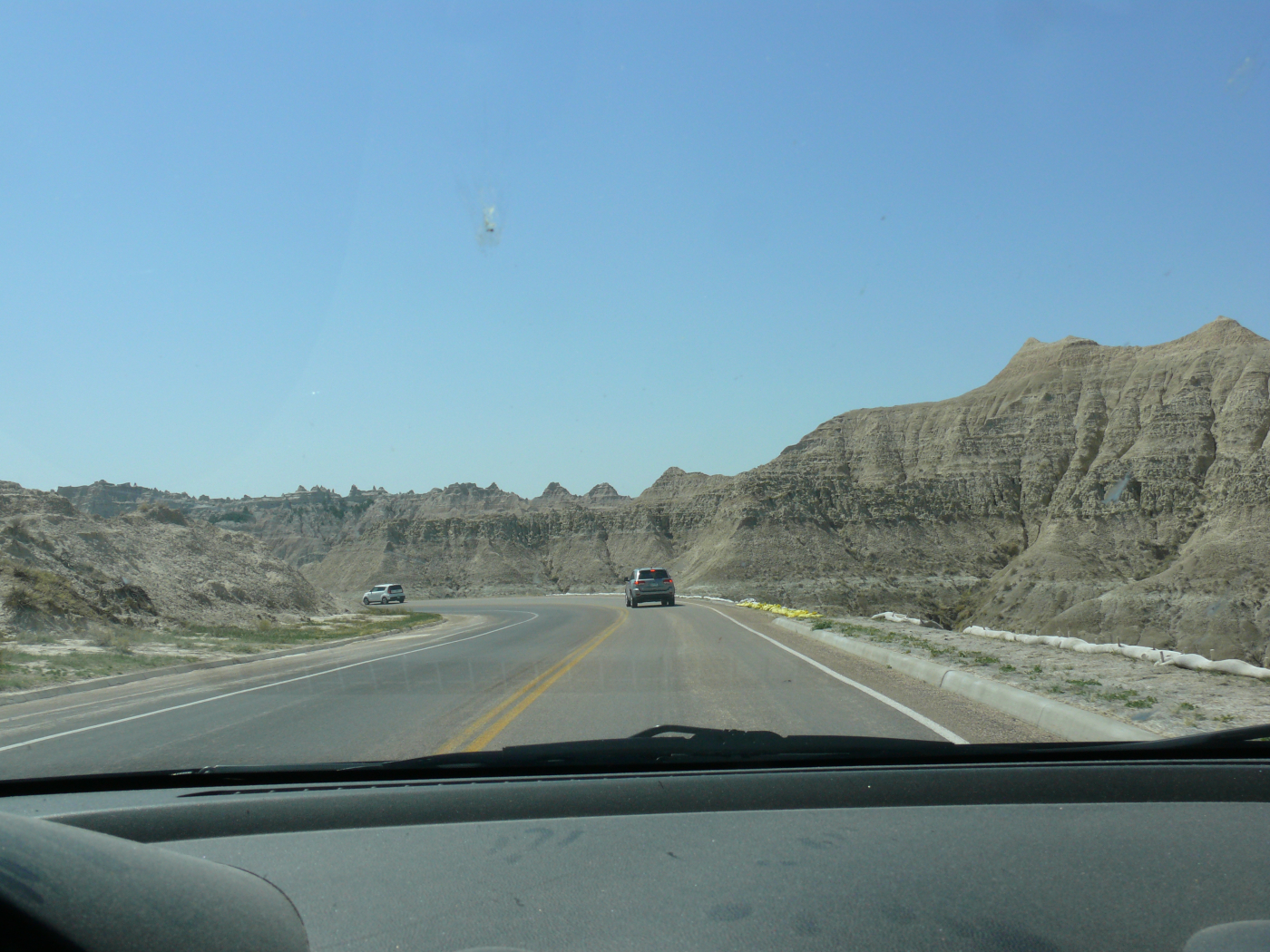
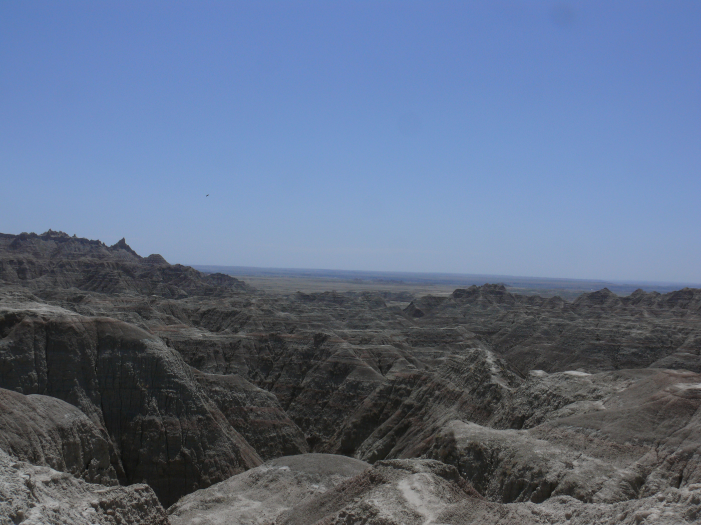
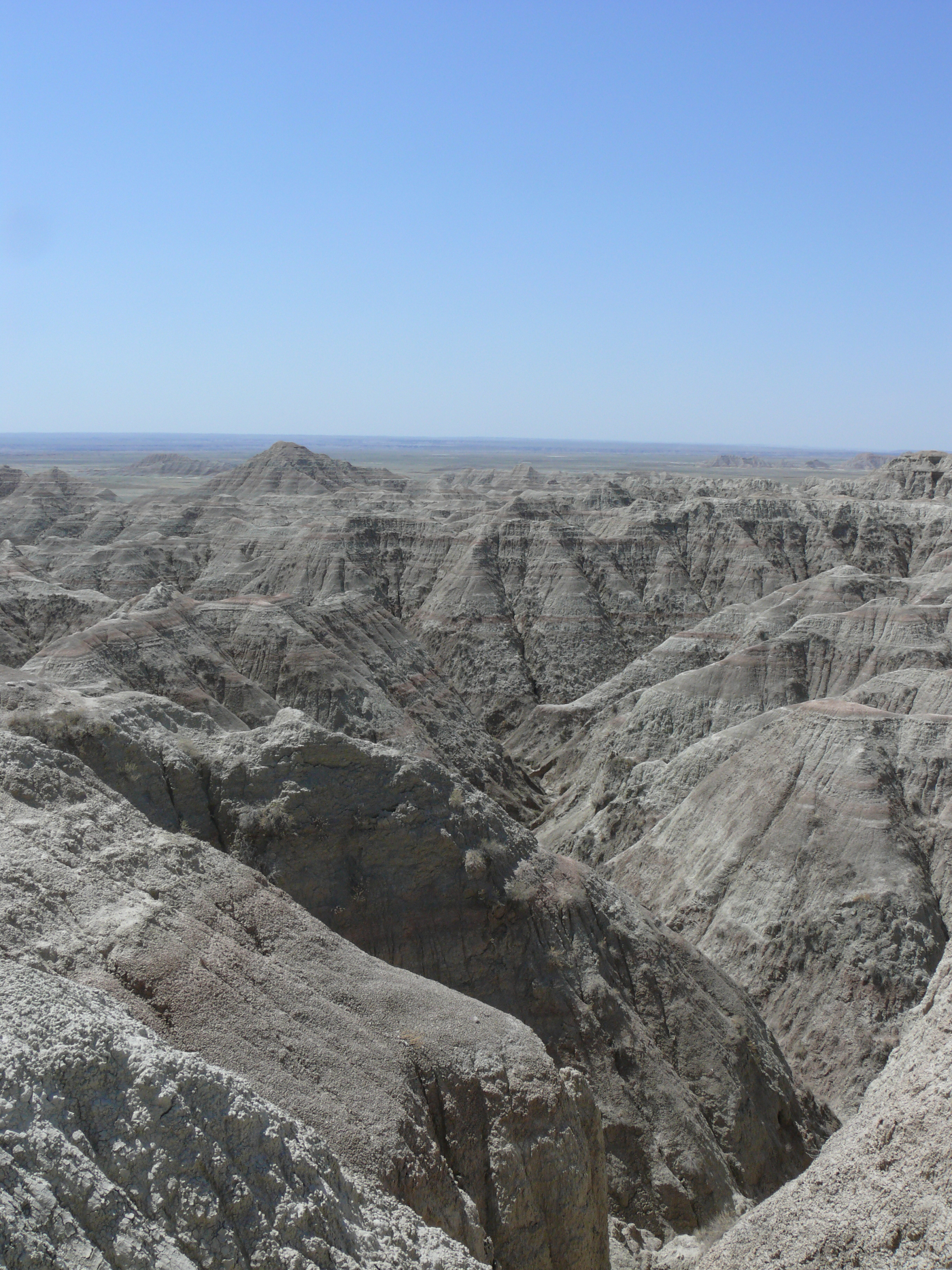
I wasn't terribly impressed by Badlands National Park. The landscape is impressive; however, $30 to enter the park is too much. Sure, I had a seven day pass, but it still seems pretty steep. Here are some shots:
 |  |  |  |  |
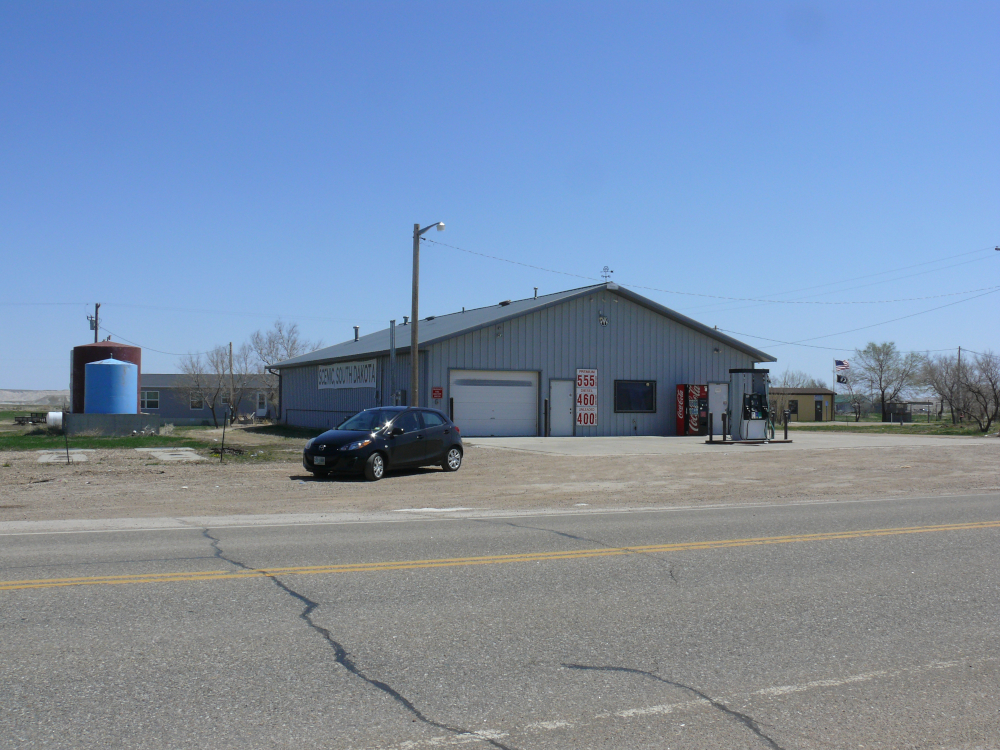
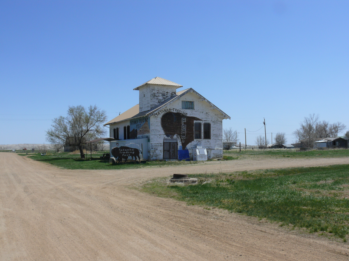
I stopped in the ghost-town-now-resort of Scenic. The entire town was purchased by a Christian church. Yeah, crazy stuff! Here are some photos:
 | 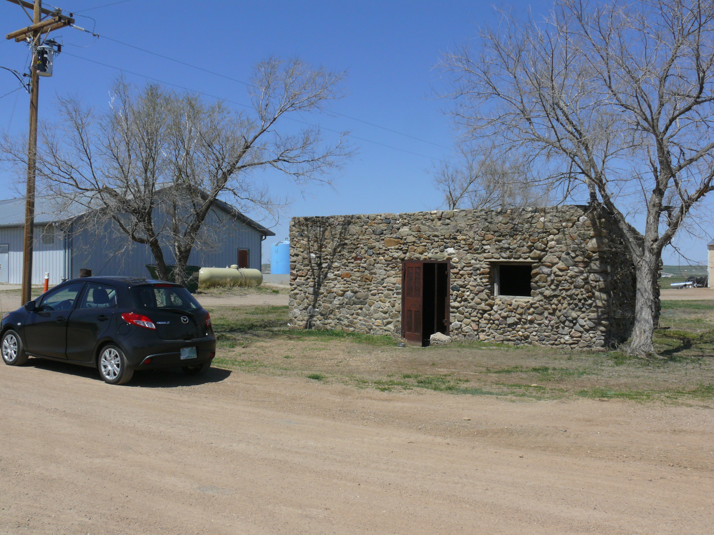 | 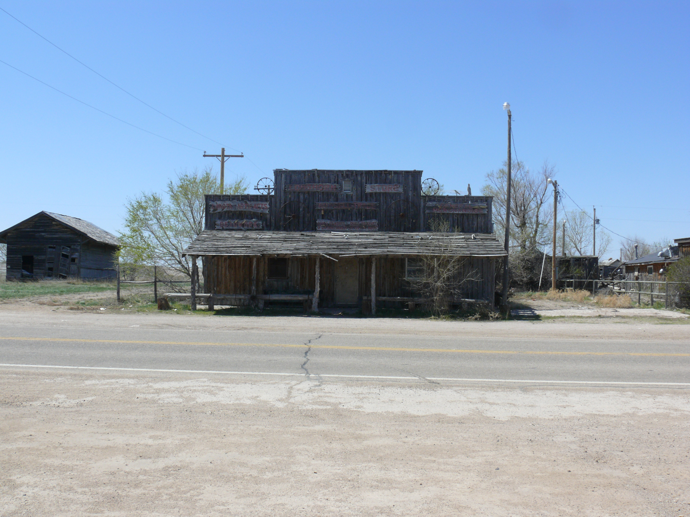 | 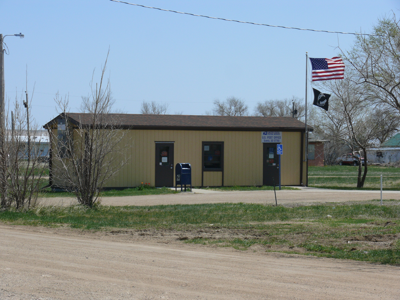 | 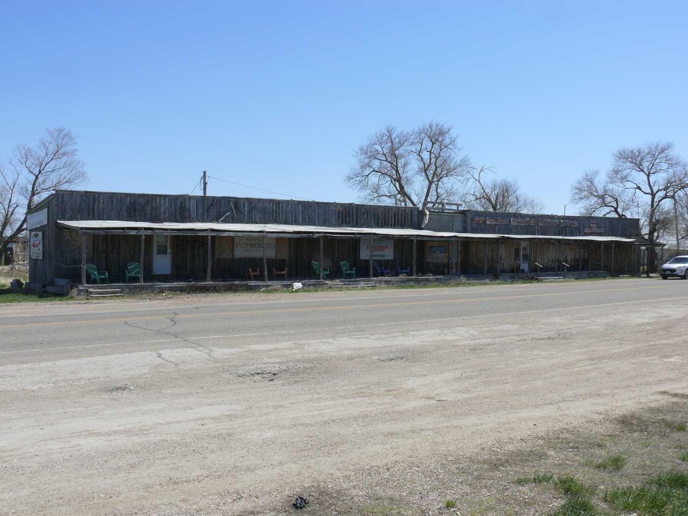 |  |  |
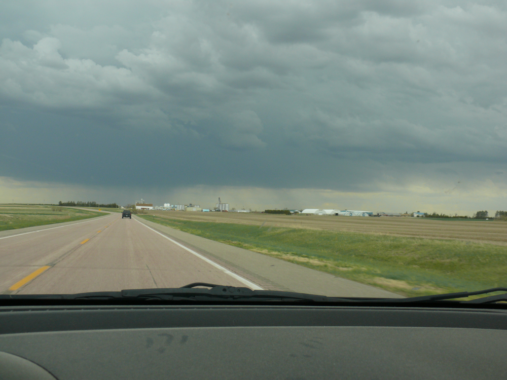
In Nebraska, thuunderstorms were watering the farms.
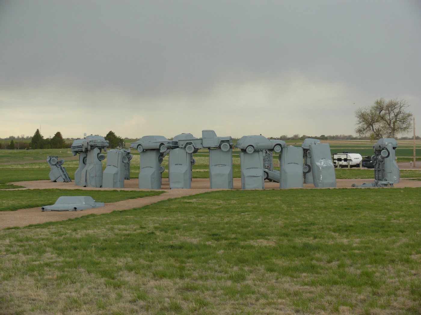
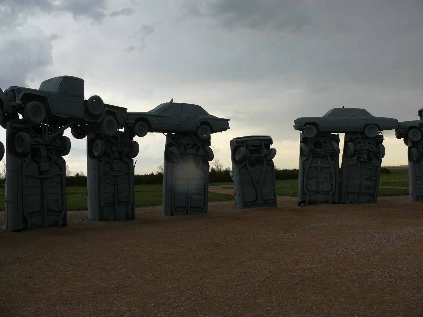
Alliance is the home of Carhenge. Yup, Jim Reinders and his family constructed the monument in six days! Click for a larger view. There were some other sculptures around. Here are some good shots:
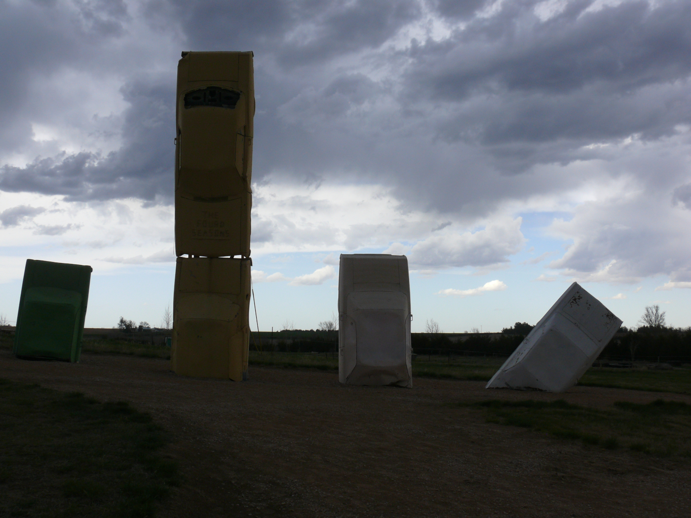 | 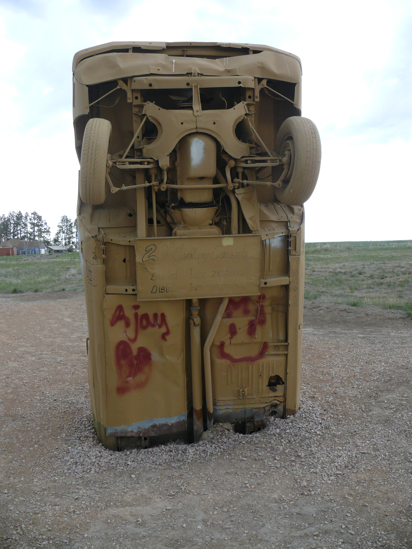 | | 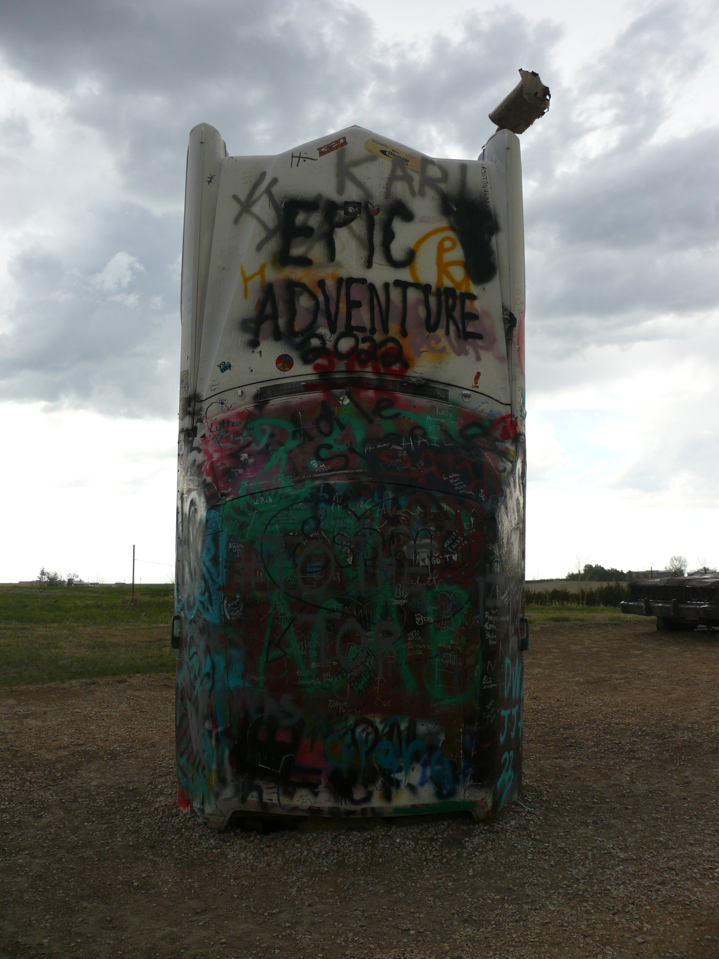 | 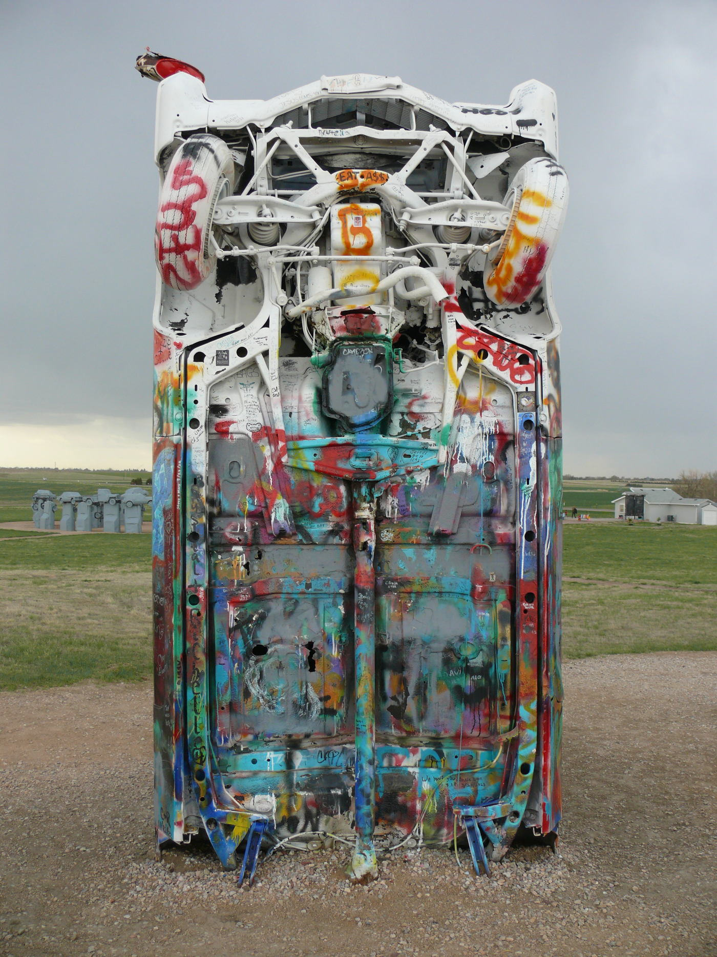 |
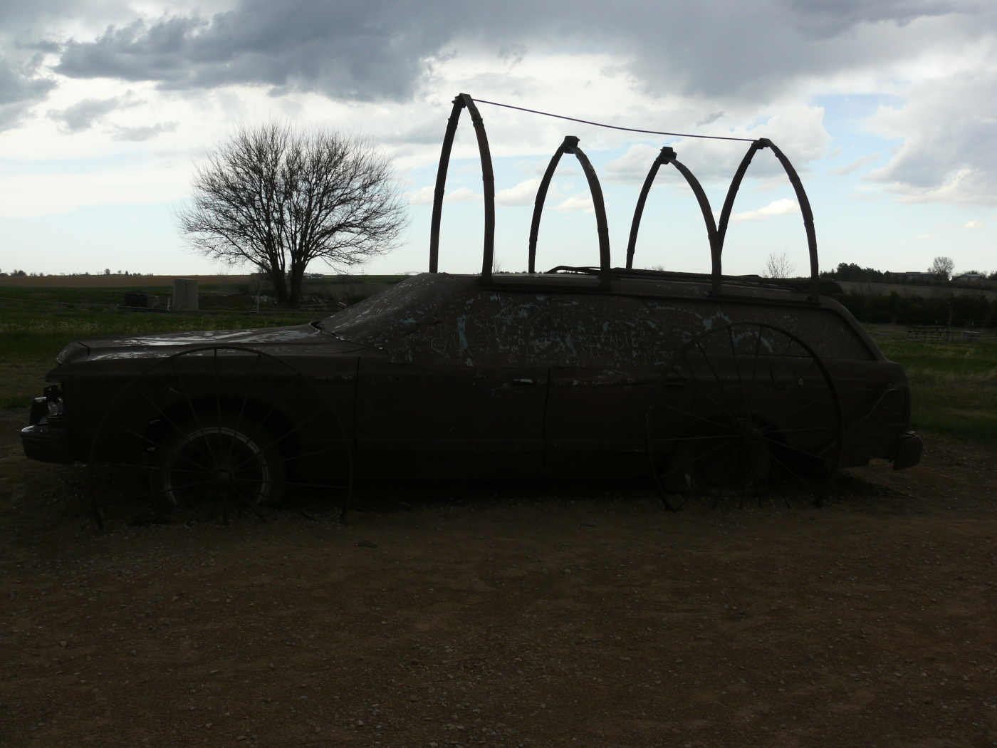 | 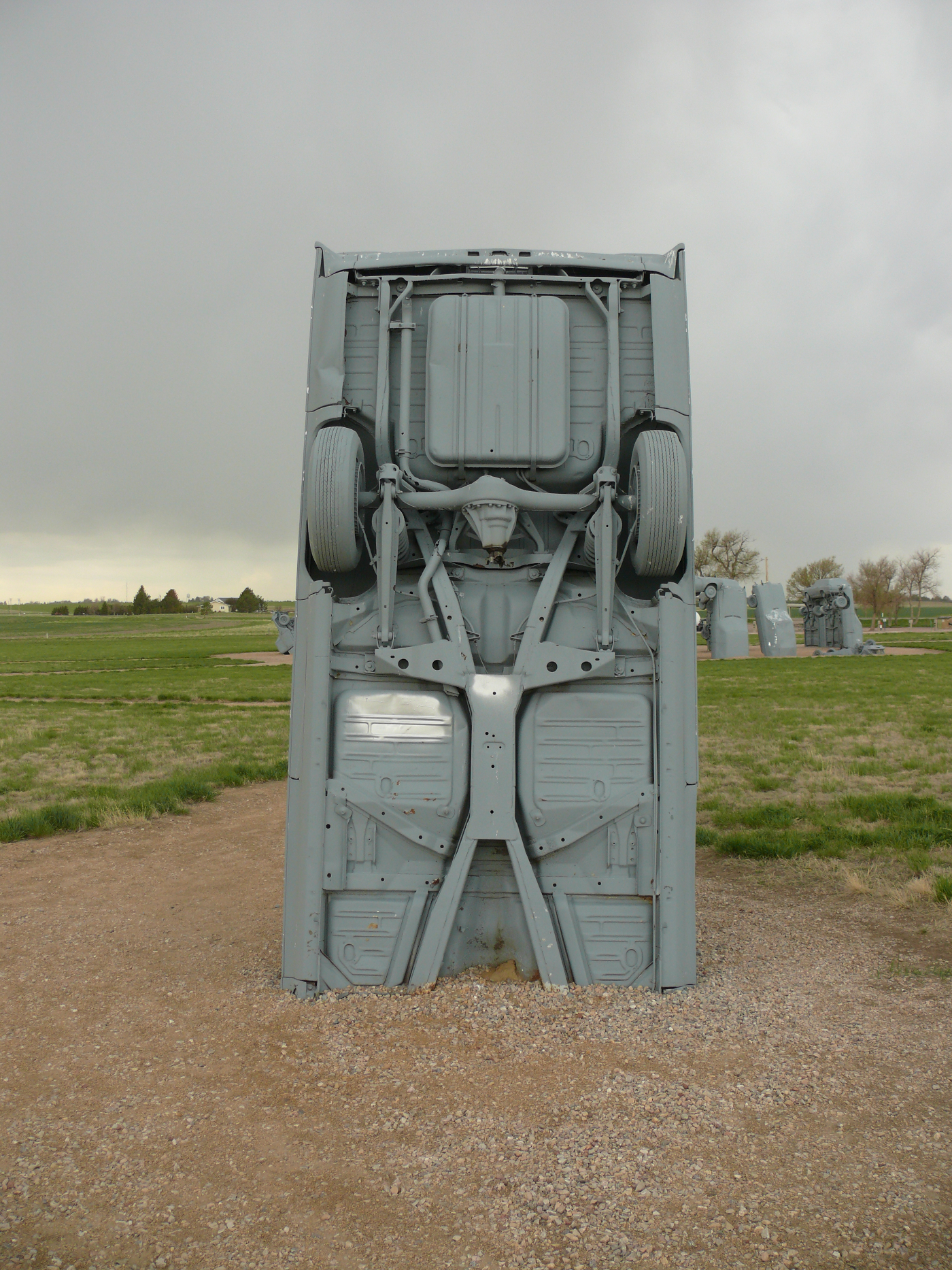 | 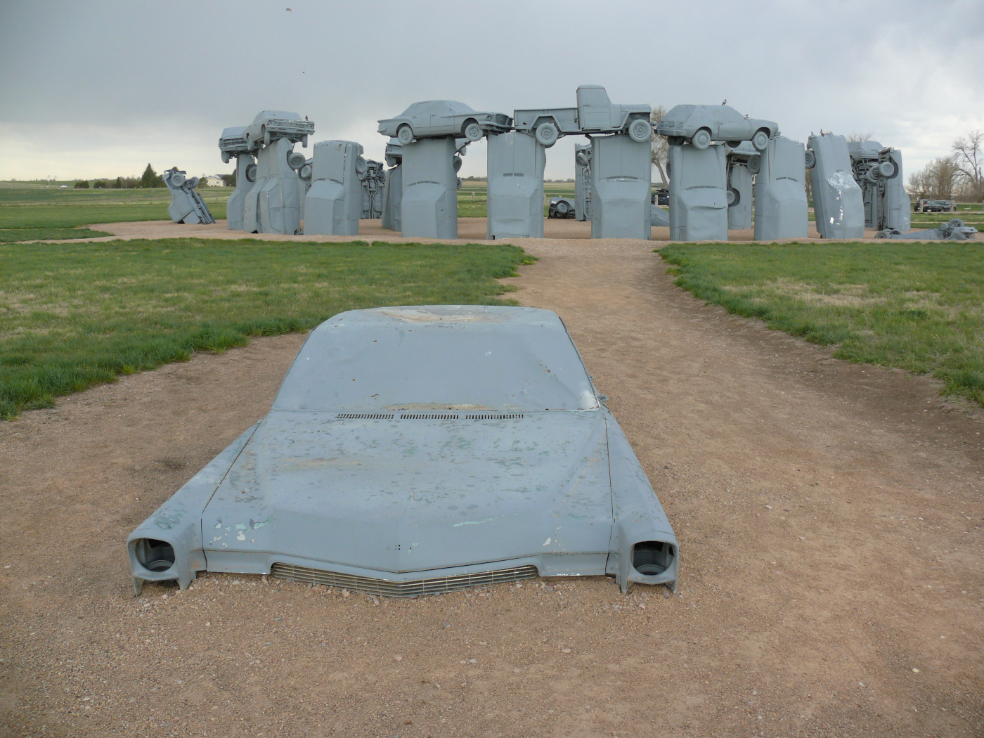 | 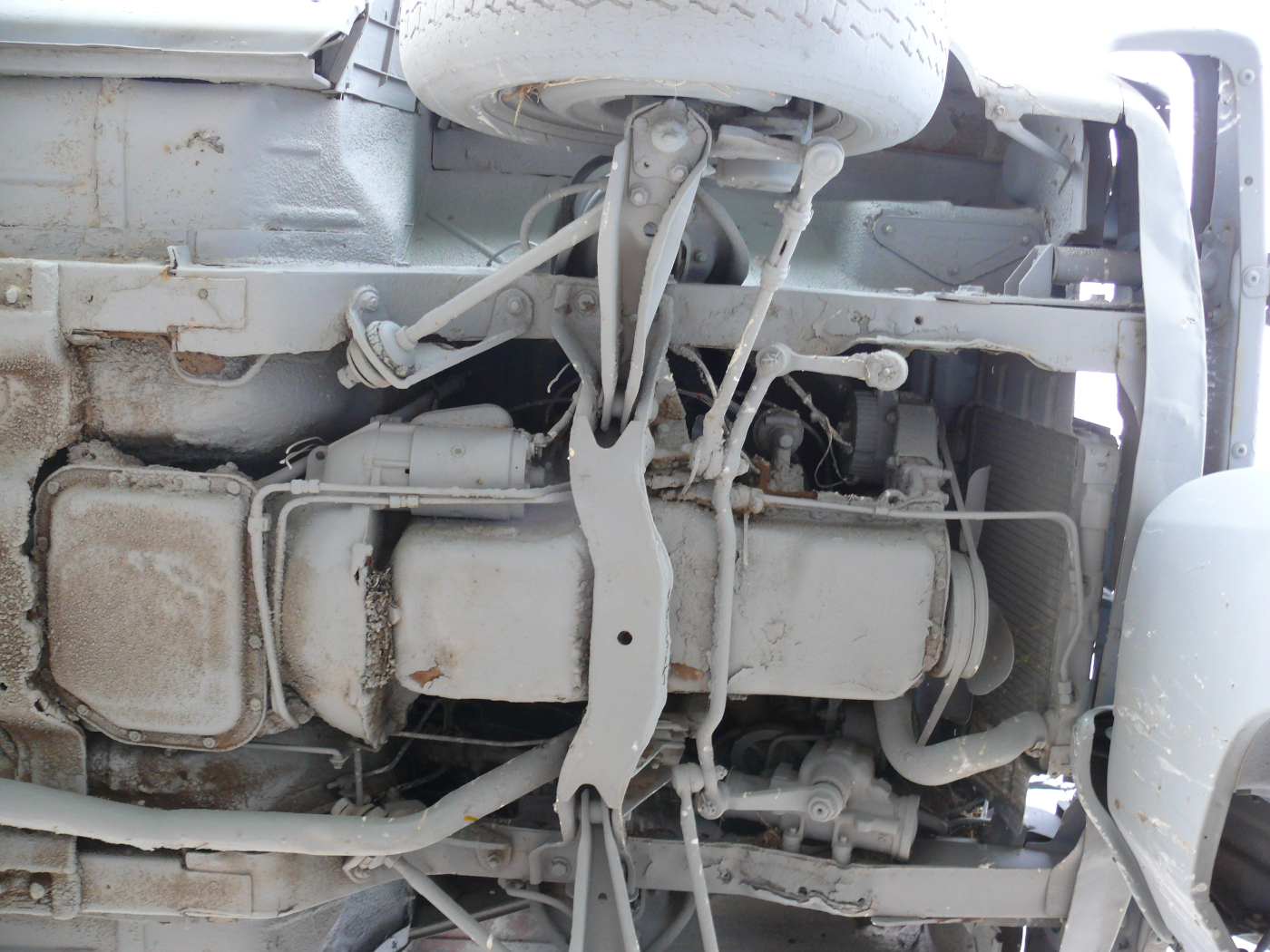 |  |
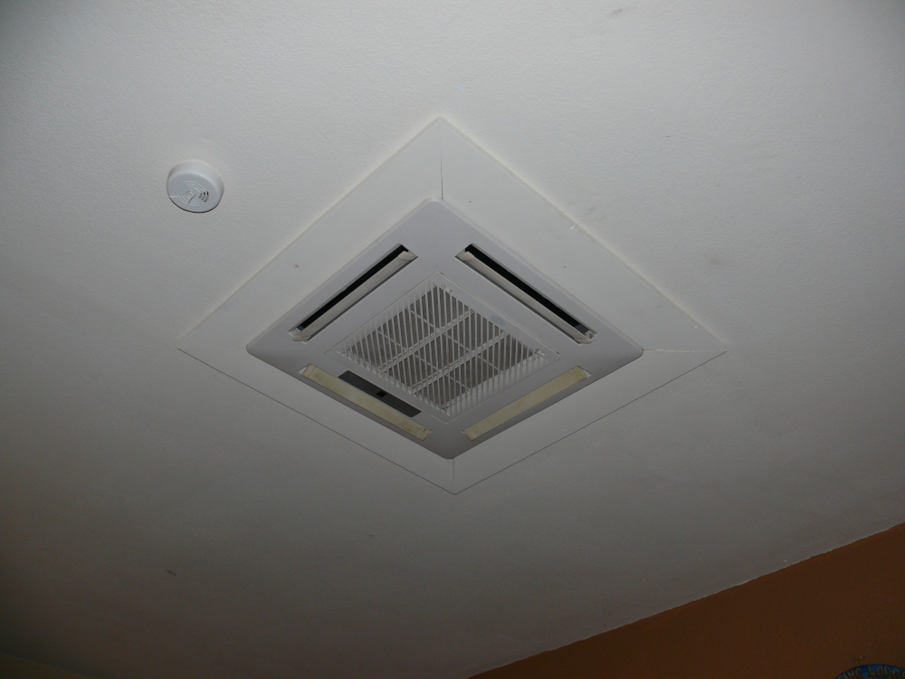
I stayed in The Sunset Motel in Alliance. My room let out next to the indoor pool. I was concerned about humidity but the A/C unit more than handled the moisture. The unit was mounted in the ceiling with a wall-mounted thermostat. I'd never seen one like before. It's pictured above. The country motel was comfortable. I spoke with the mother of the owner and her daughter-in-law for about a half hour. They were surprised that I was driving the country by myself.
Alliance has a lot of railroad tracks. This train was about a mile long and heading towards the town.
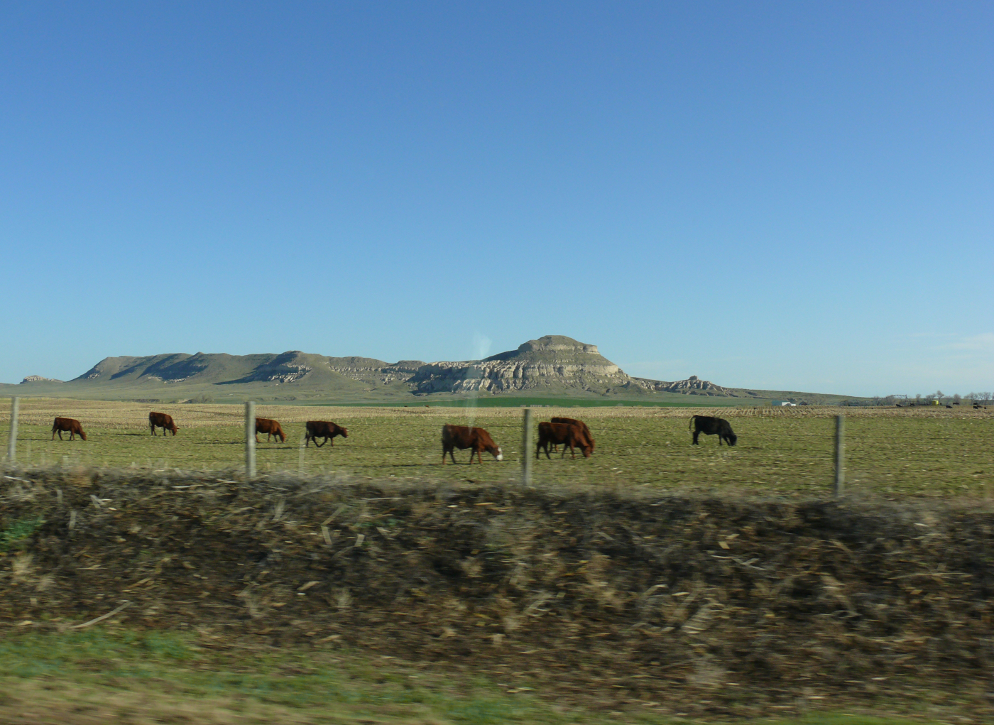
I was too early to visit Chimney Rock National Historic Site. Instead, I snapped a shot from the entrance road. It is the formation on the left. In the distant background is Scotts Bluff. Both are recognizable landmarks from the westward trails. Click for a larger view
This is Roundhouse Rock. Click for a larger view.
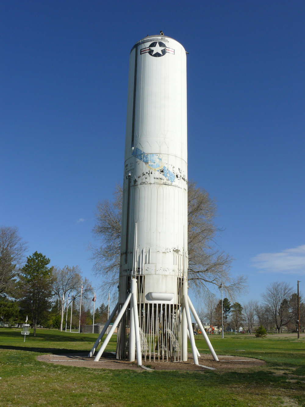
In a park in Kimball, the first stage of a Titan I rocket is on display. Recall that I visited a more complete version? See it here.

Keep this photo handy when someone complains about how overcrowded the United States has become lately!
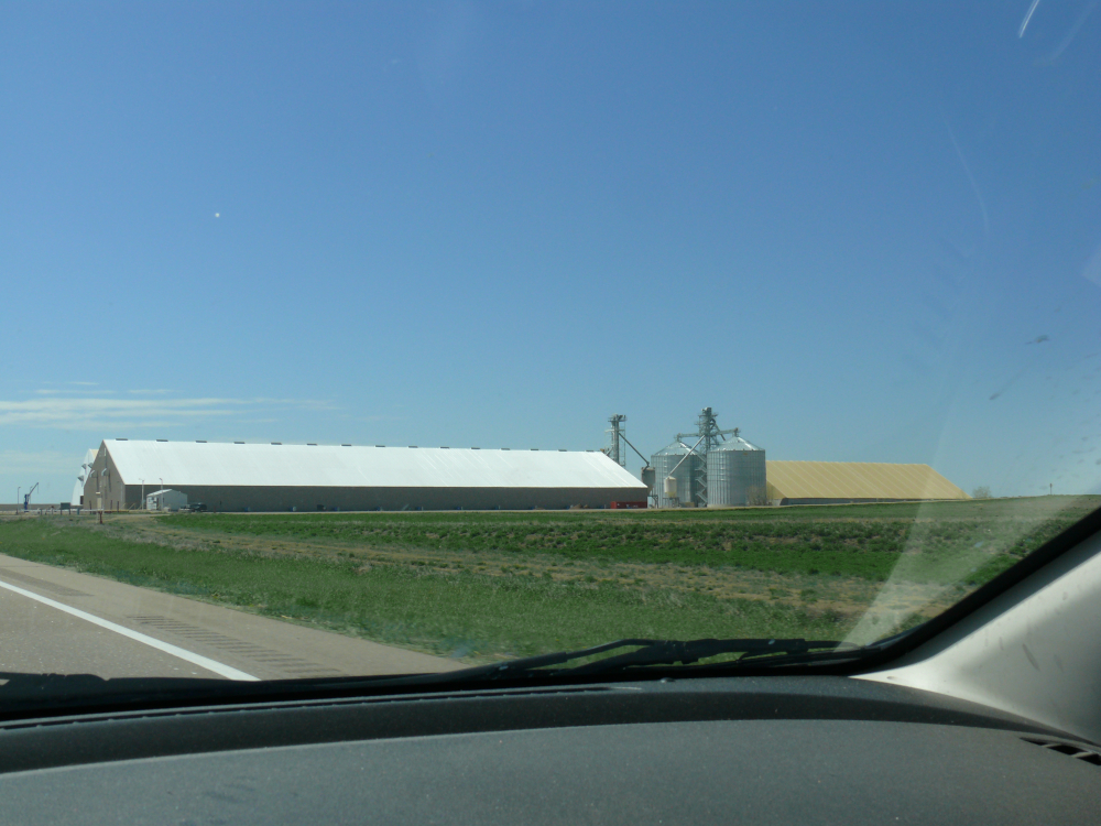
Only the occasional buildings of the factory farms break up the fields.
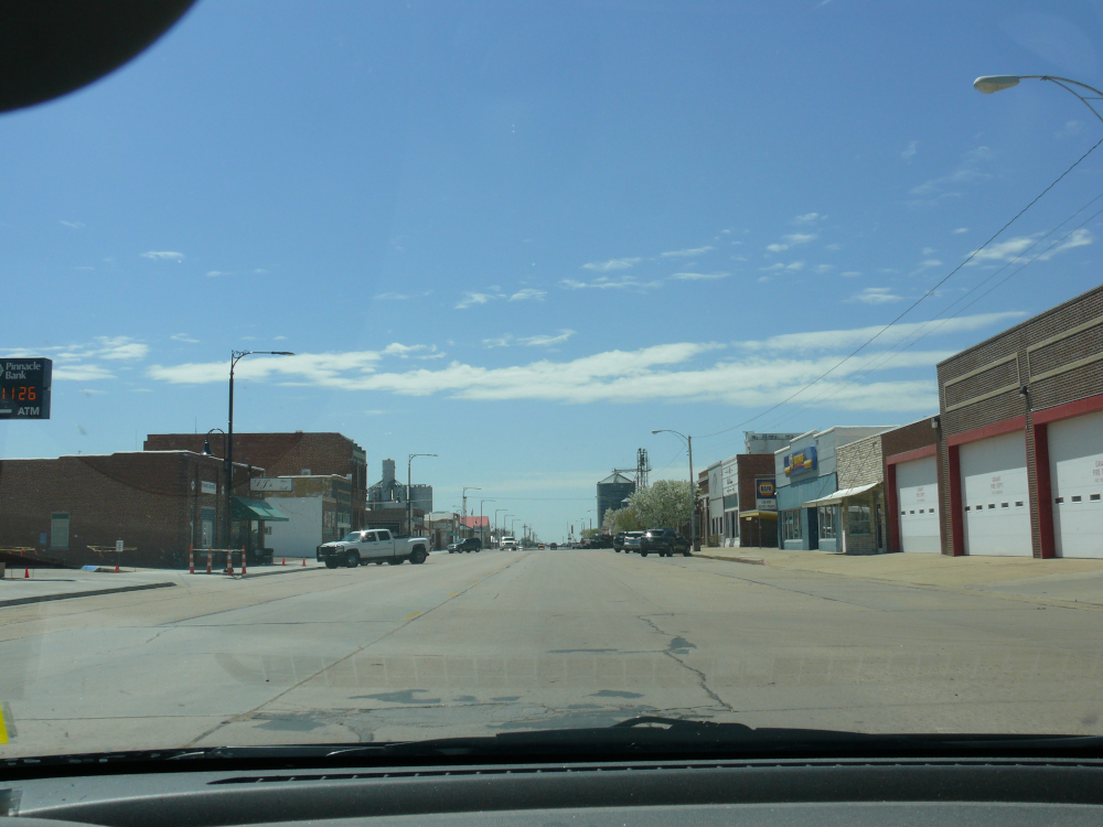
The town of Grant sits at the junction of two roads about 20 miles from the border with Colorado.
The Enders Reservoir Dam was under repair. I had to wait twenty minutes for the pilot minivan to return and guide us. I did have a long conversation wiht the flagger. He was very amused by the slogan on my license plate. He was from Minnesota and suggested that I visit his state. He was very friendly. Once back on the open road, several impatient drivers passed most of us. I guess people are in a rush even in the Great Plains?
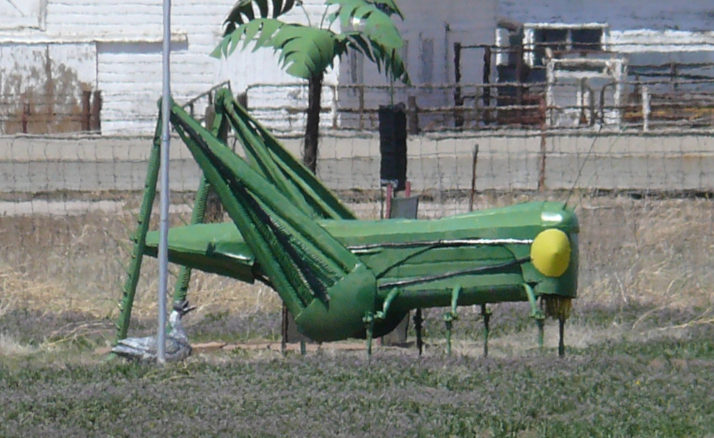
Outside of Goodland, Kansas, I saw a grasshopper constructed from tractor parts!
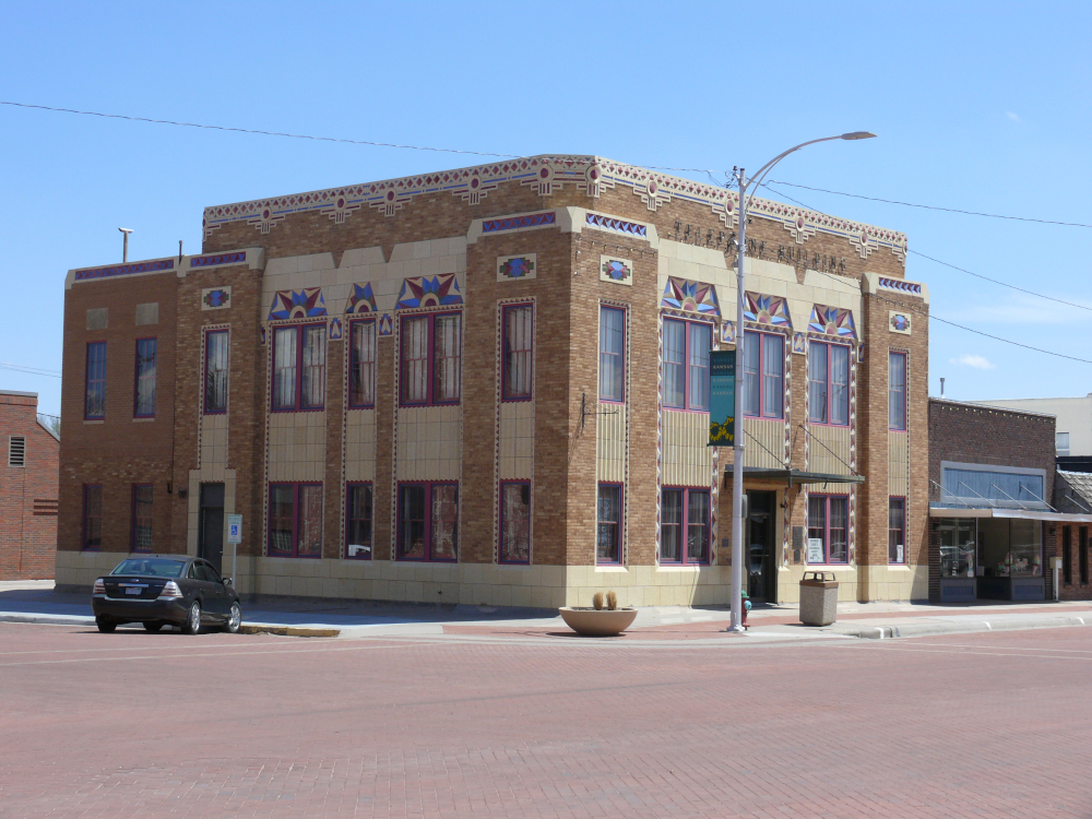
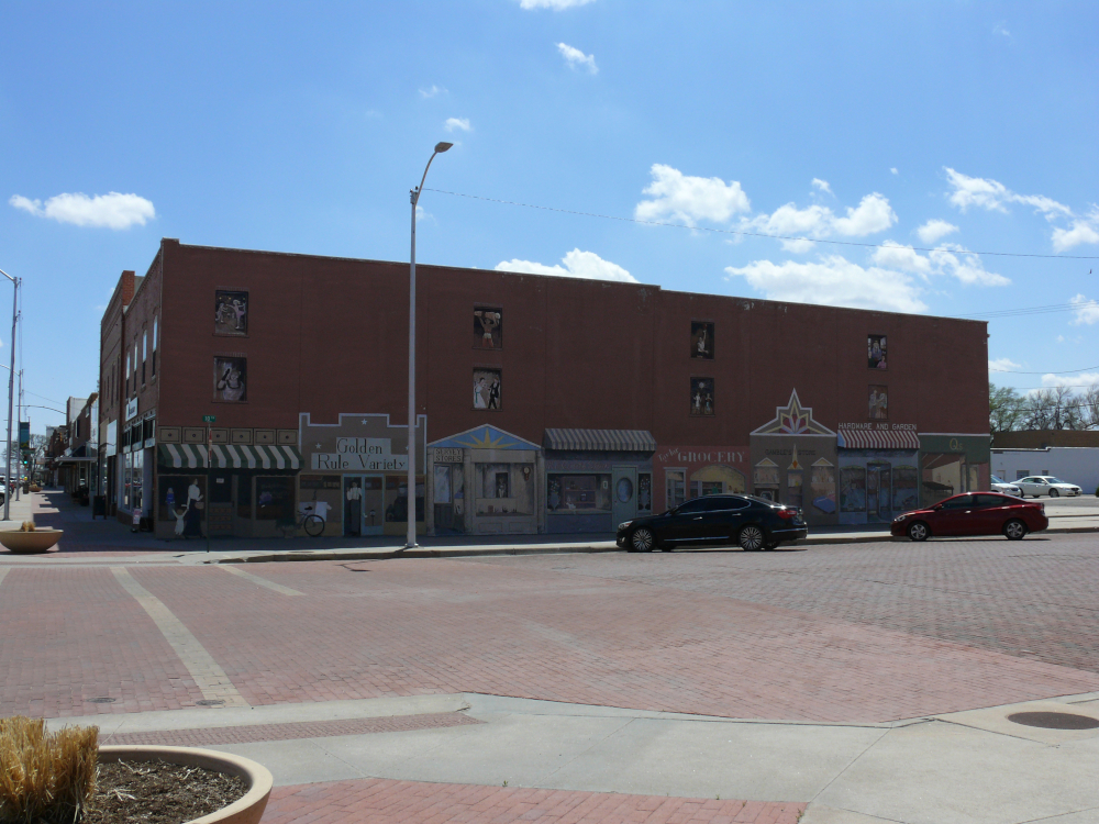
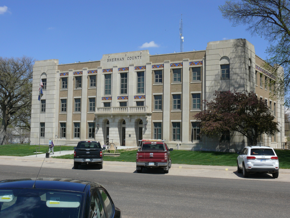
The architecture in this small city was tasteful and artistic:
 |  |  |  |  |
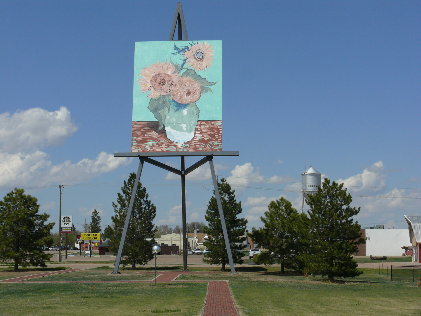
I visited Goodland because it is the geographical location of the fictious town of Jericho in the apocalyptic TV program of the same name. However, they have an 80-foot easel with a van Gogh painting on it. It's visible from the interstate highway. Very cool! Click for a larger view.
I had stayed overnight in Oakley. I wanted to visit Monument Rocks but didn't want to go down the gravel road.
The next morning it was foggy. I stayed closely behind semis to avoid hitting a deer. Fortunately, the fog burned off once the sun rose.
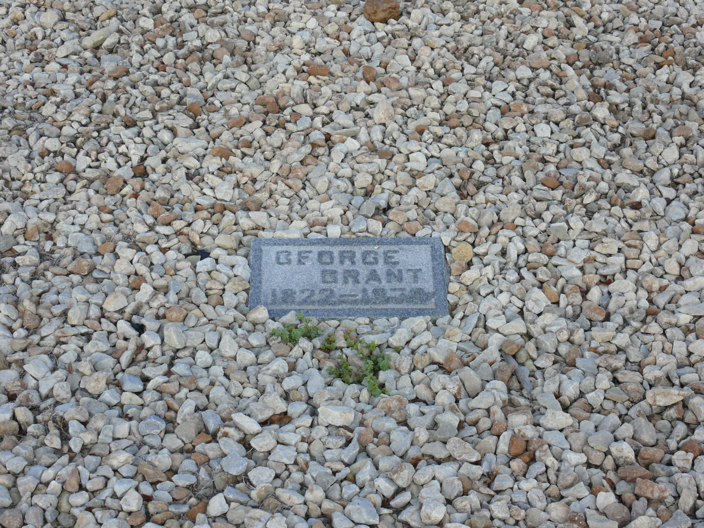
Rather unceremoniously behind a shed on a short dirt road is this monument. Why, you may ask, is there a cow on the top of it? It marks the grave of the man who crossed Scottish Angus cows with Texan Longhorns, which created the Angus beef cows that dominate the American beef industry. Click to see the grave marker itself.
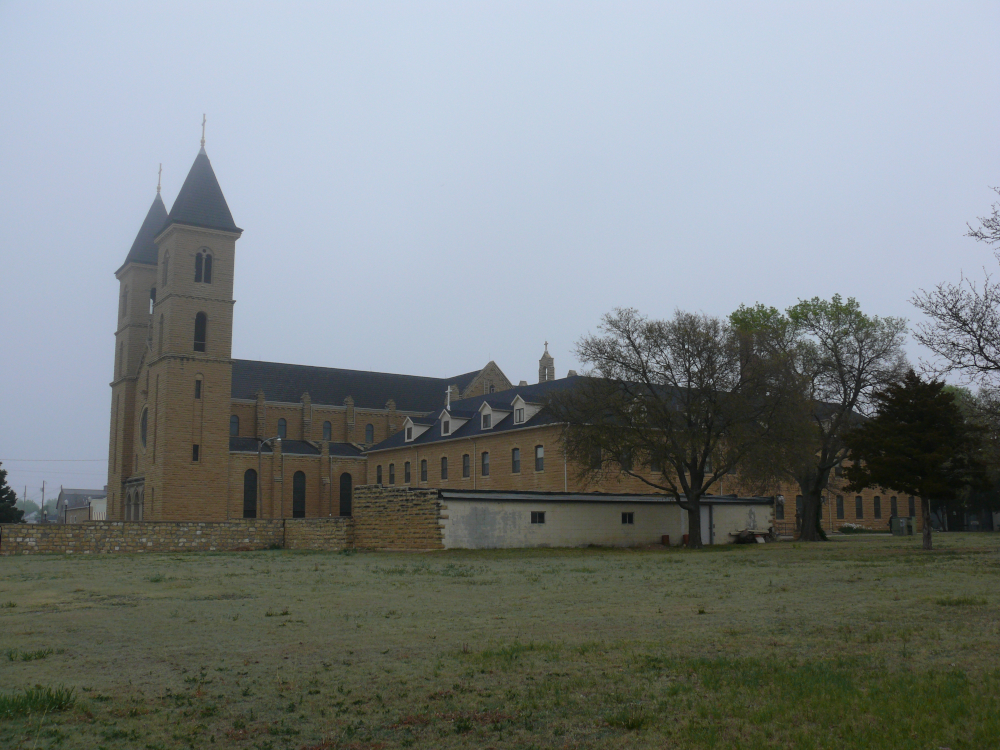
Also in Victoria is this basilica, the home of St. Fidelis Church. It was built in 1911 and isone of the largest churches in Kansas. I didn't take any closer shots, because a funeral was taking place.
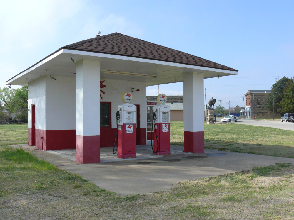
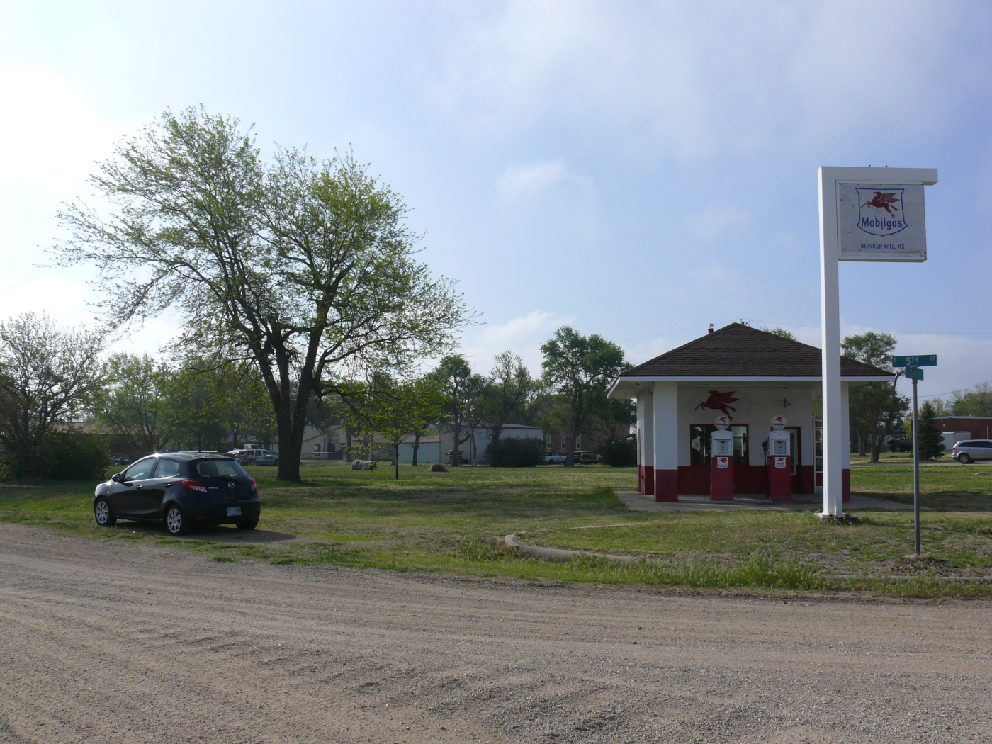
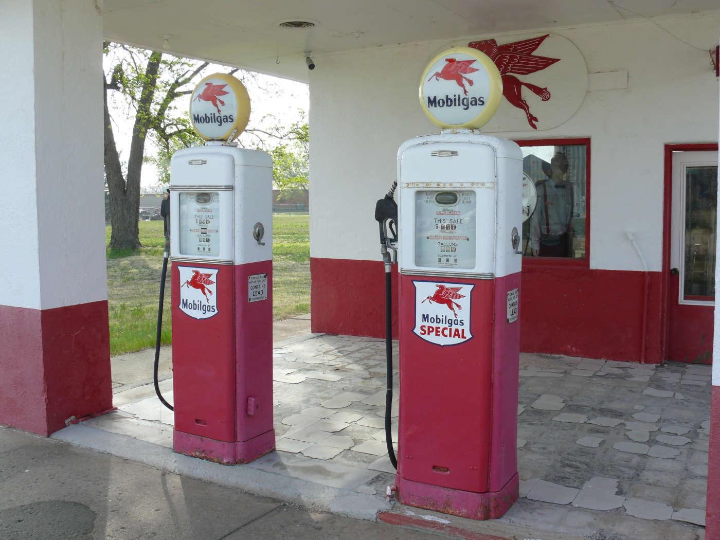
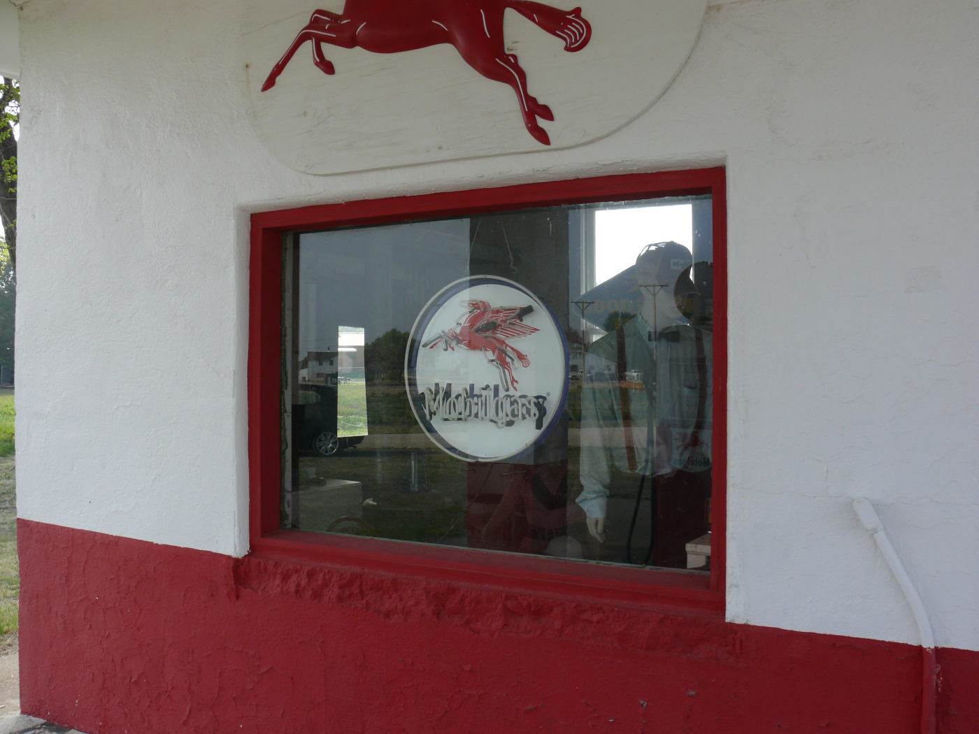
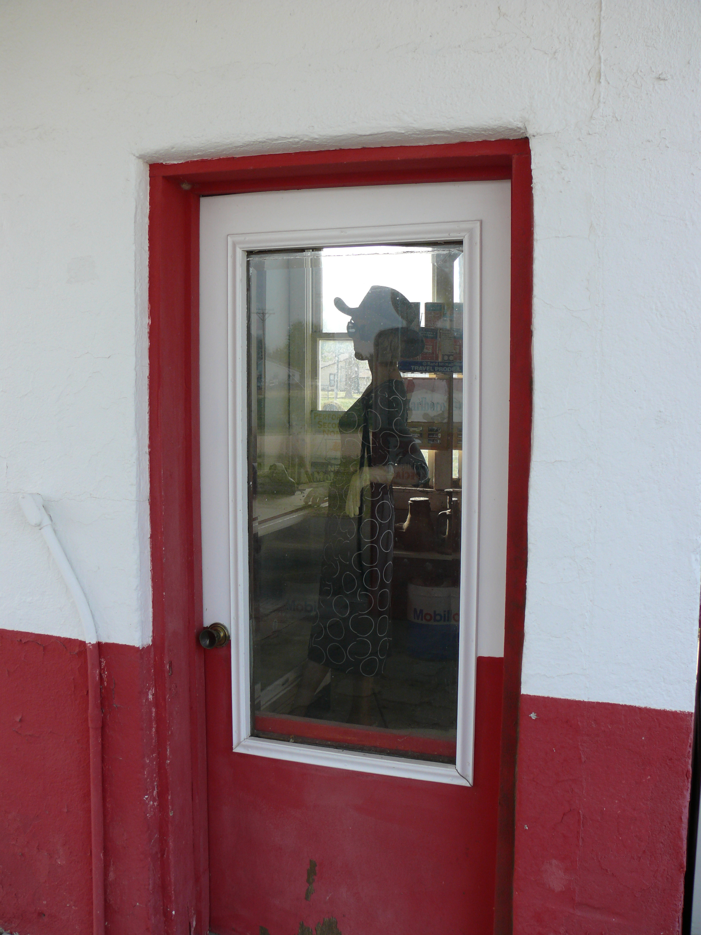
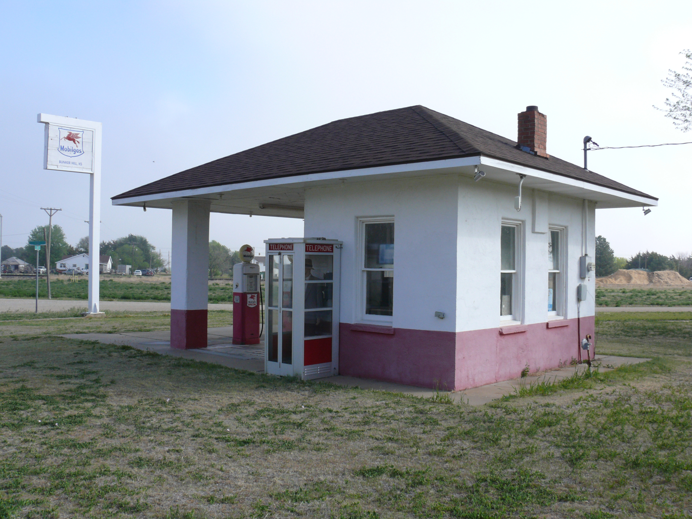
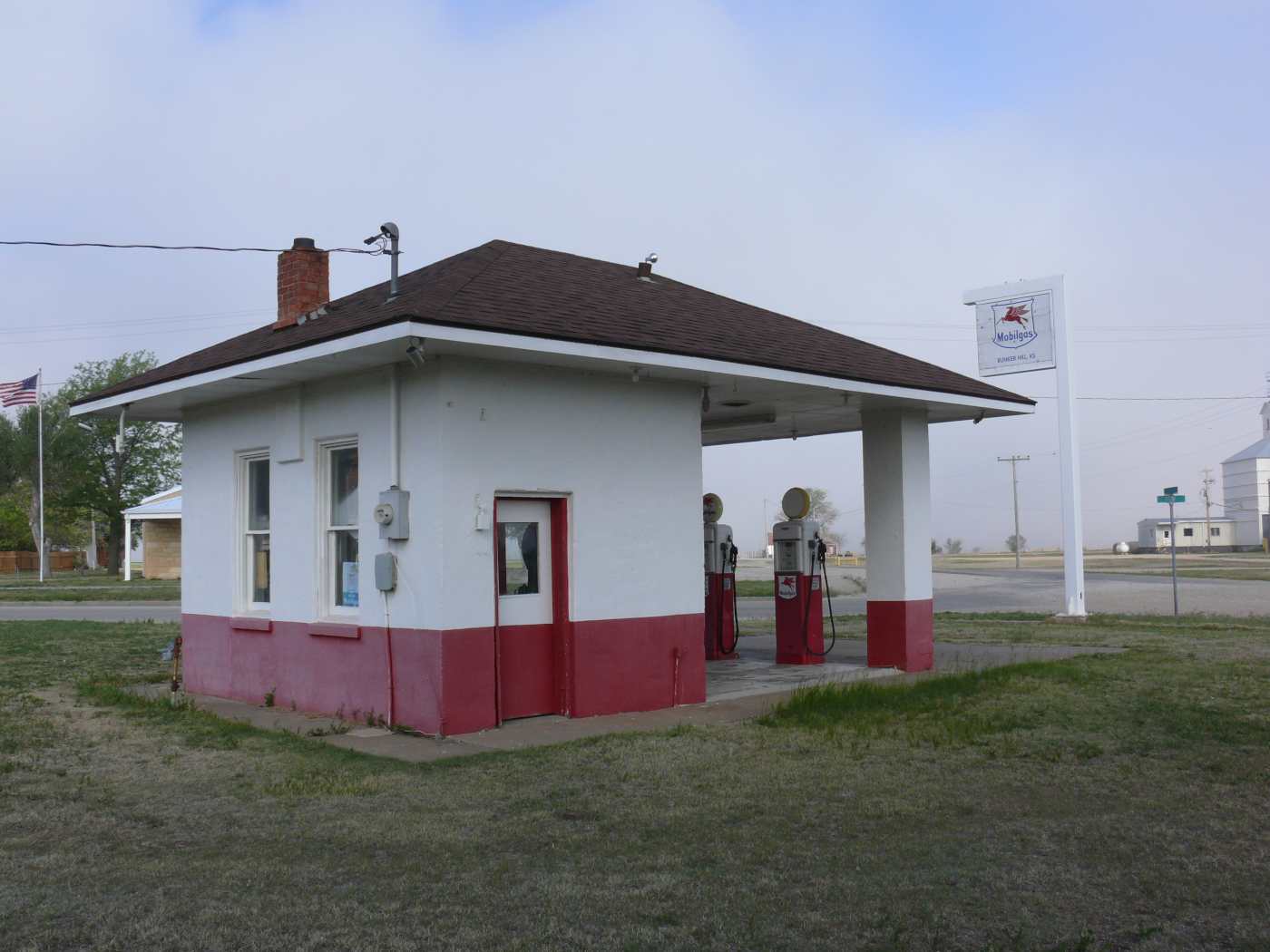
In Bunker Hill, I found this restored Mobilgas filling station complete with stylishly dressed mannequins!
 |  |  |  |  |  |
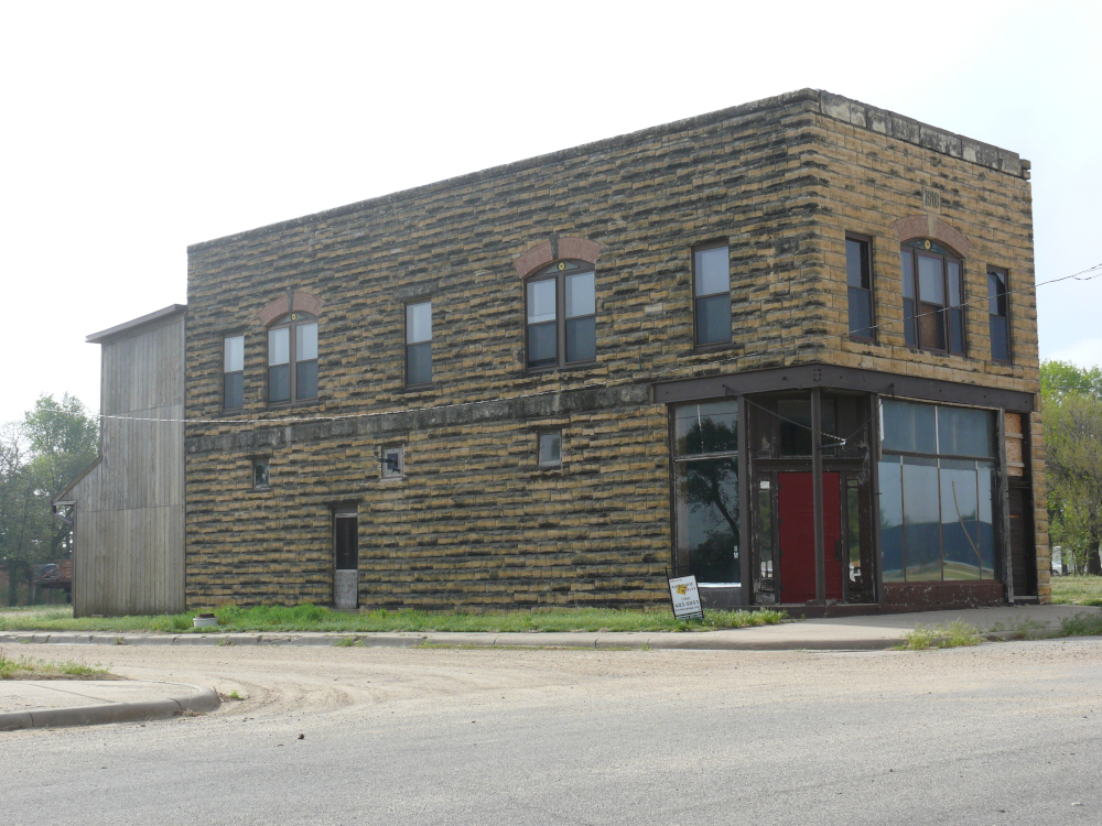
Also in this very small town is this building erected in 1916. A local even said "hi" to me as I slowly rolled by.
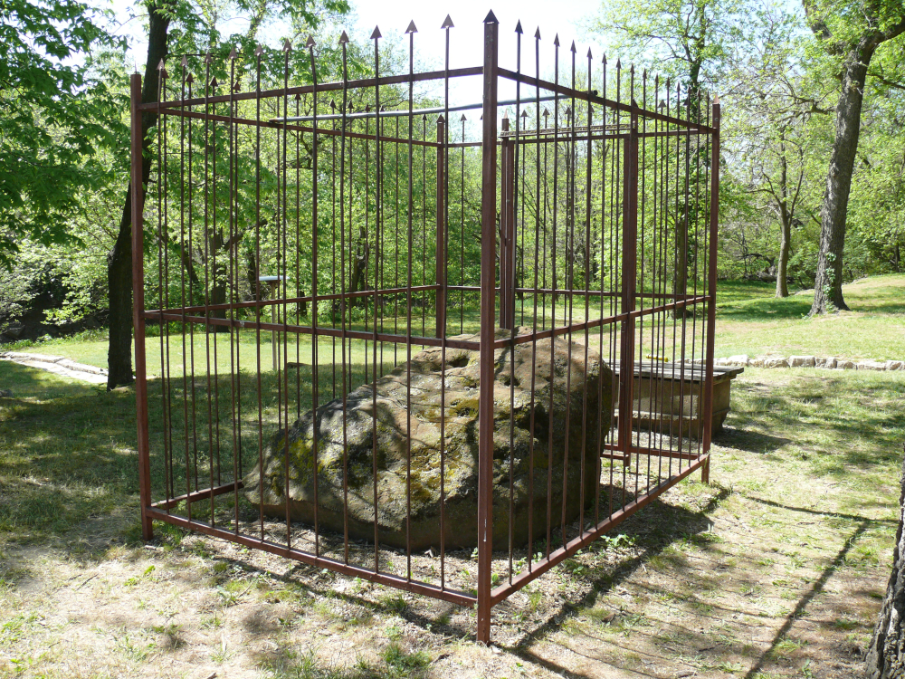
Yes, that is a boulder surrounded by a steel fence! The townfolk of Lindsborg thought that someone would steal it. Well, one has to understand that Lindsborg was settled by Swedish immigrants!
The town was celebrating their history by opening the defunct mill for tours. I was fortunate to meet an elderly couple who drove down from Salina to visit the mill. They directed me through the throng of people to the stone. I wonder if this channel was used to release liquid from the mill, as it goes straight to the nearby stream. Here's a shot of the mill.
I visited Tallgrass National Preserve to see wild grasses. But I forgot that the grass wouldn't have grown tall by early May! Click for a larger view.
I continued east. The temperature had reach the 90s when I crossed into Missouri. That's when the air conditioning packed up. The compressor clutch stopped working. I stayed in Concordia and was glad to be heading north tomorrow!
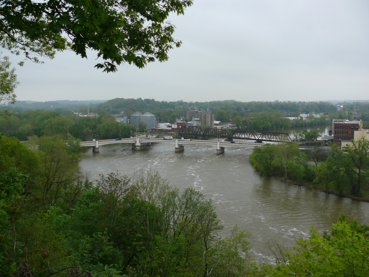
I made good time and stopped for the night in Zanesville, Ohio. The next day I visited their overlook. The white bridge is unusal. Do you see why? If not click for larger view.
Yes, it's a "Y" bridge. Where else do you hear someone direct you to "go to the middle of the bridge and turn left"? This bridge is actually the fifth built at the two rivers confluence. It was built in 1984 to match the fourth bridge, which opened in 1902. I didn't know about this clever bridge until the hotel worker told me about it and provided me with a brochure.
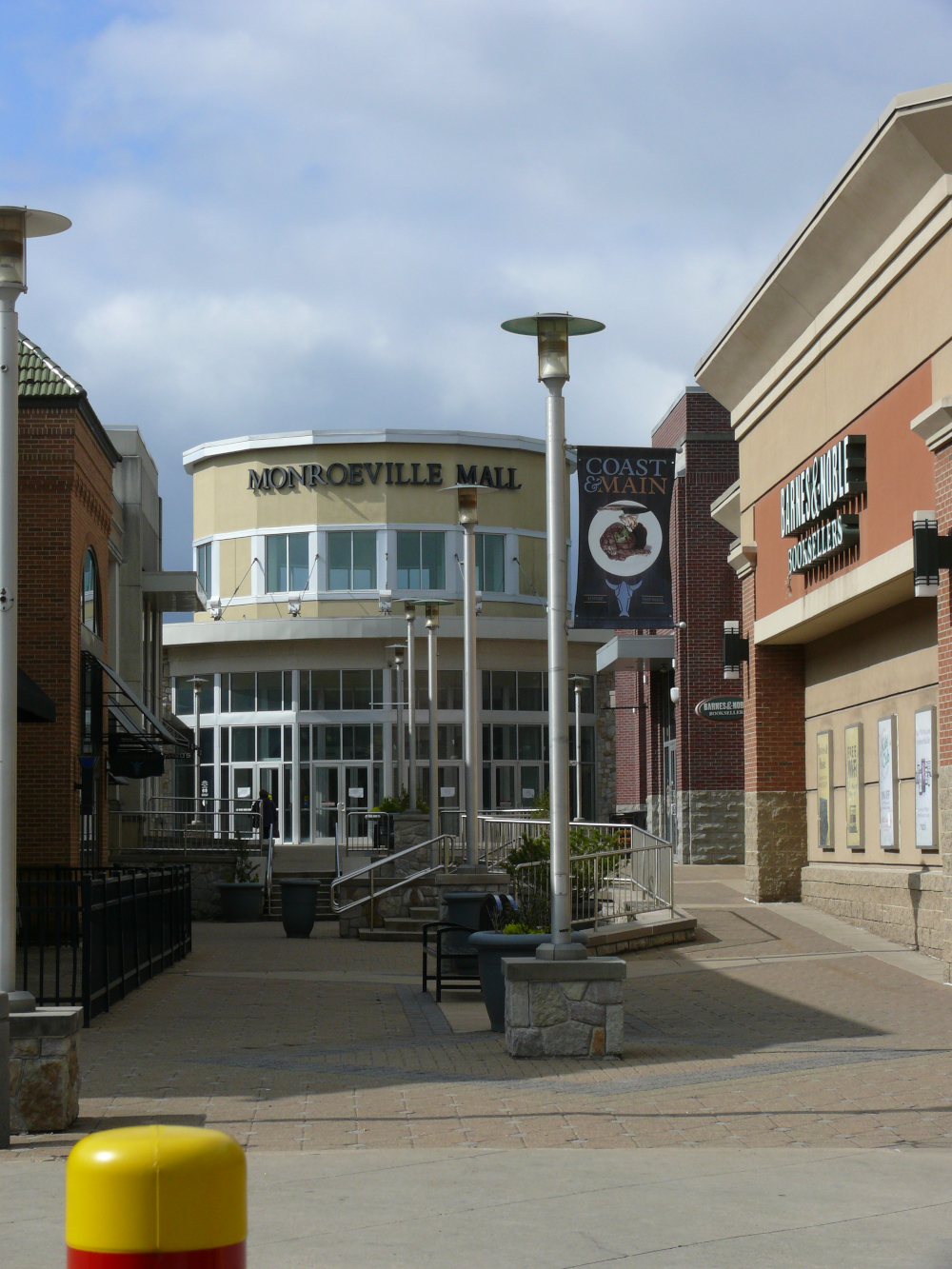
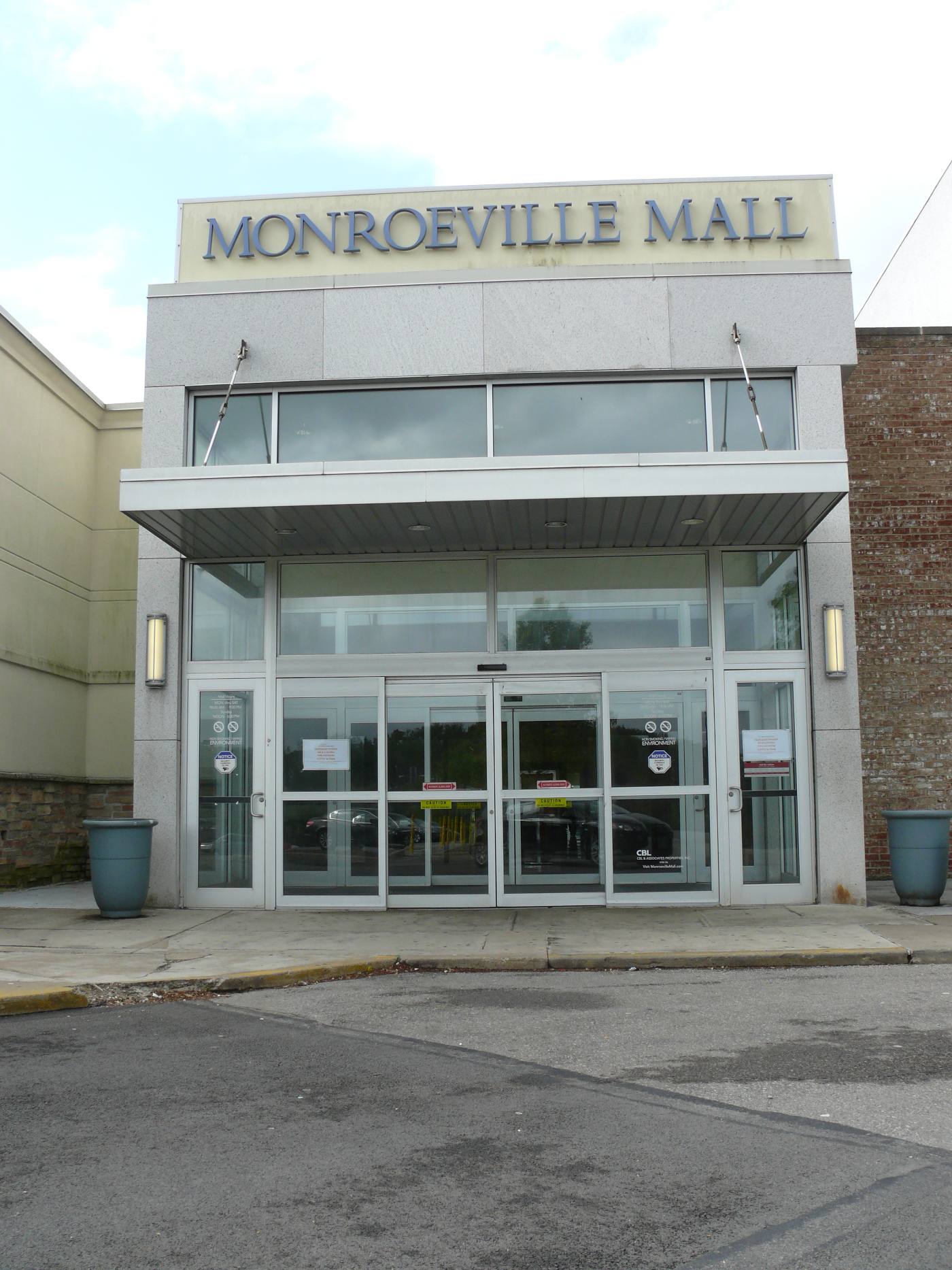
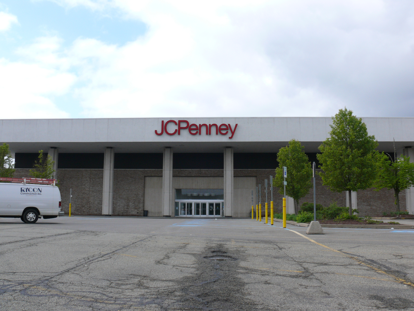
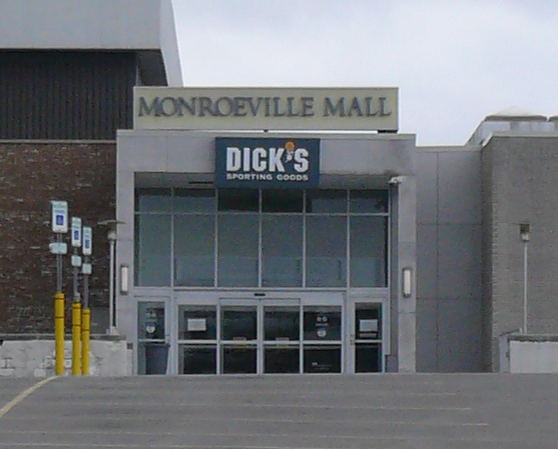
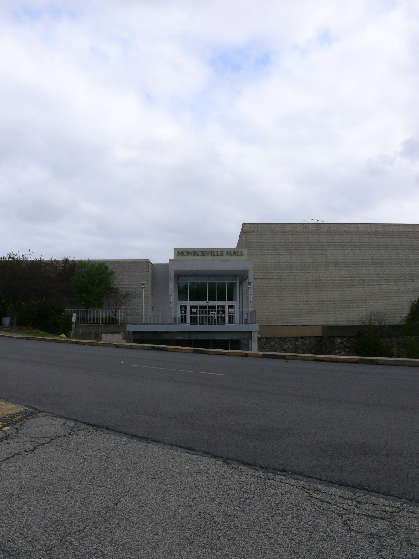
The next day I drove through Pittsburgh, Pennsylvania--I liked what I saw of the city--, arriving at the mall in Monroeville. Why is a mall important to me? Well, no mall is particularly interesting to me. But this one was the setting for George Romero's 1978 film Dawn of the Dead. After I photographed all the entrances to spark memories of the film, I went inside and walked both floors. At 10:30 AM on a Monday it was--well--dead! The mall reminded me of the malls that I grew up visiting. There was a statue of the filmmaker and a plaque. Also, there was a store devoted the zombies. It was, of course, closed. Here are the entrances:
 |  |  |  |
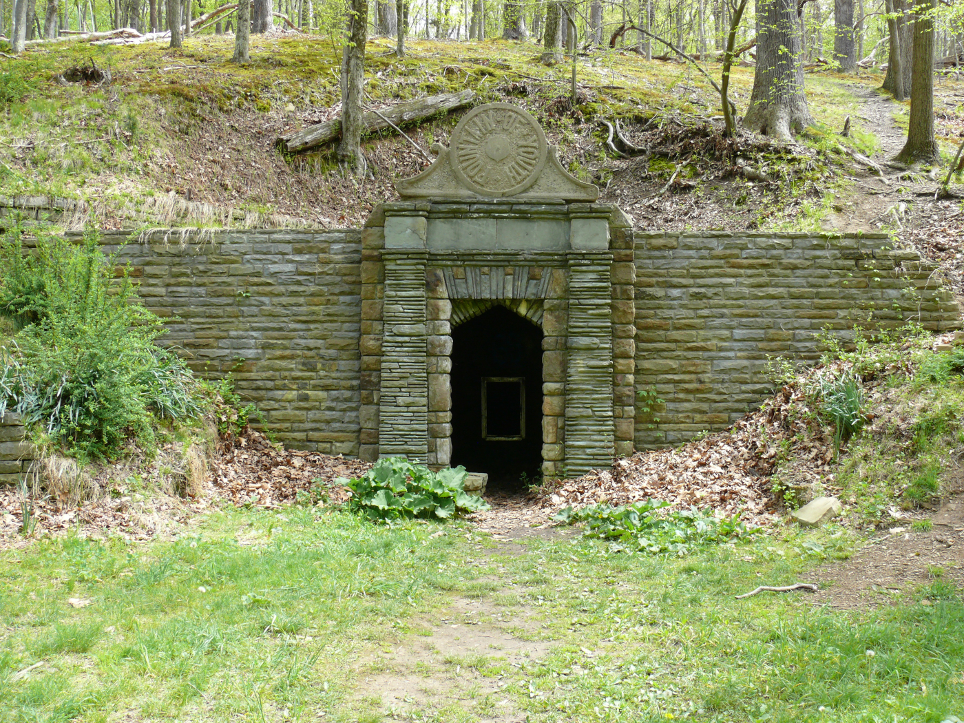
I've found it! I'll live forever now!
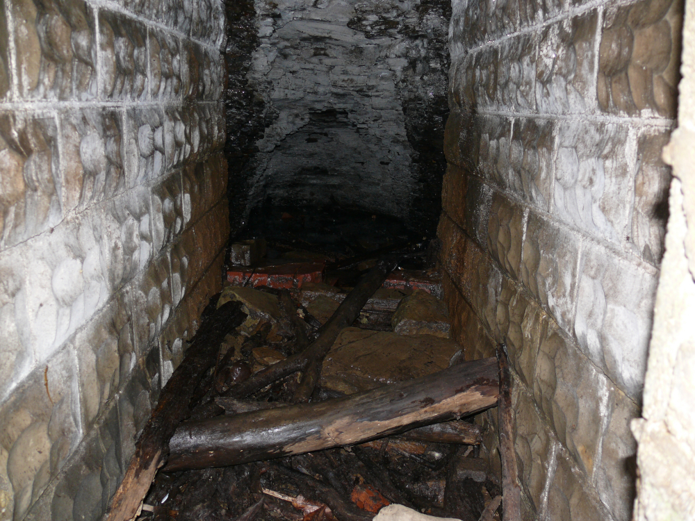
And just like all "Fountains of Youth" this one was dry. I did hear some dripping. This clever roadside attraction was quite difficult to find. This one site was the one that I feared I would not find.
It reminds me that you may wonder how I navigate and drive through areas unknown to me. I listed detailed turn-by-turn directions on a couple of sheets (I & II). I would correct them or black-out directions that I didn't need. See a sample here. The individual sites are marked by a circled integer and a number. For instance, (1) 17 tells me to look at sheet (1) and site no. 17. Sometimes the sites list local directions. They always state the site's name and address. See a portion of sheet (1) here.
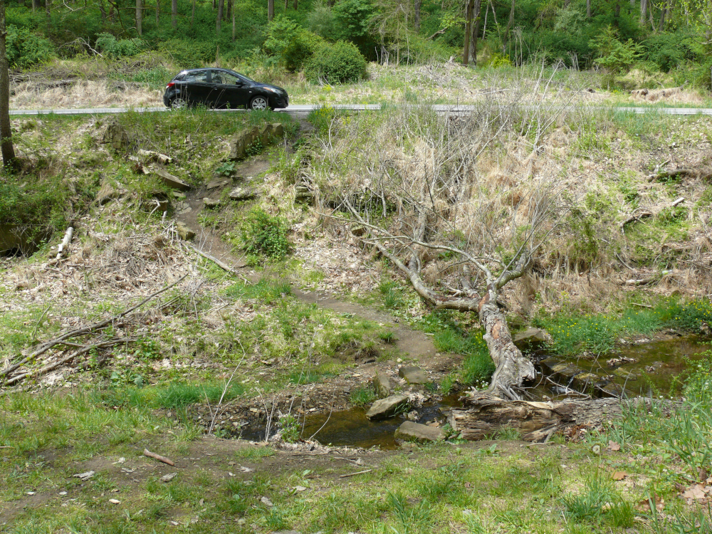
On the other side of the stream, the Mazda says "let's go, old man!"
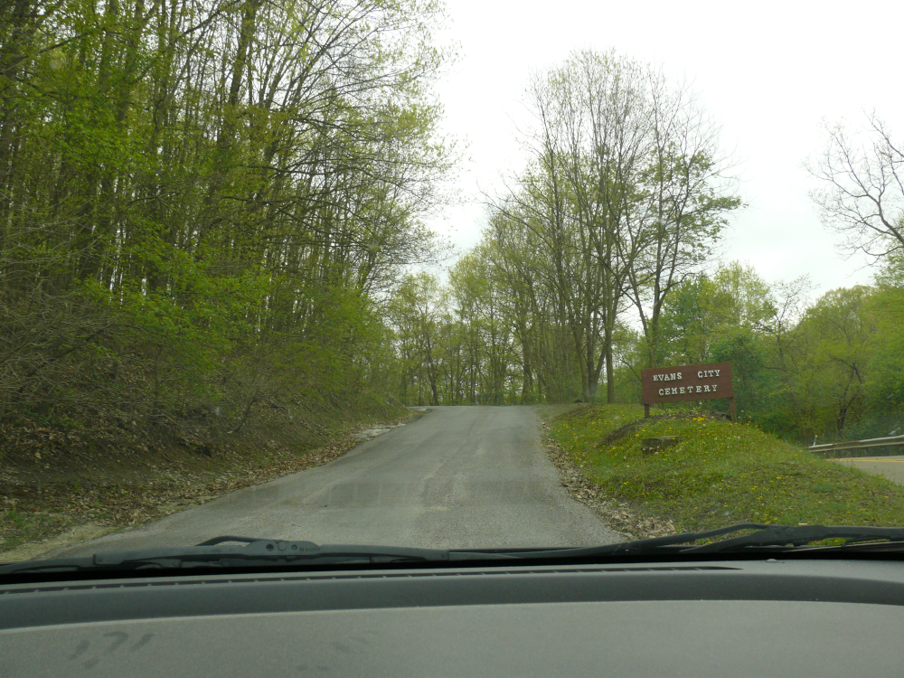
In the small town of Evans, I visited the cemetery. Wonder why?
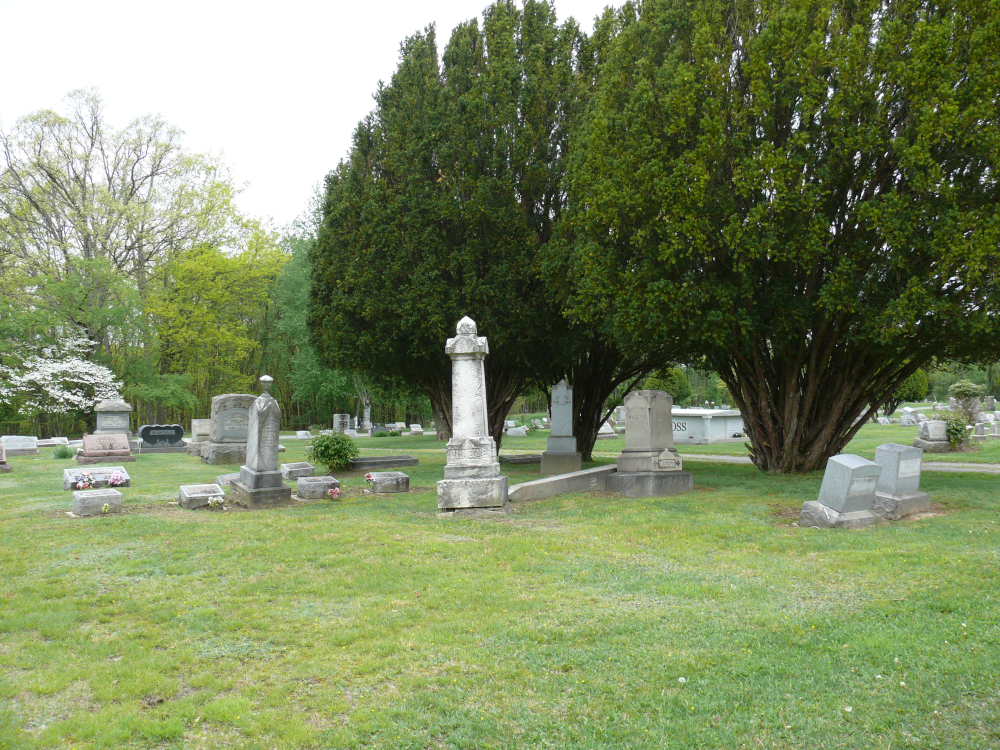
Look familiar yet? "They're coming to get you, Barbara."
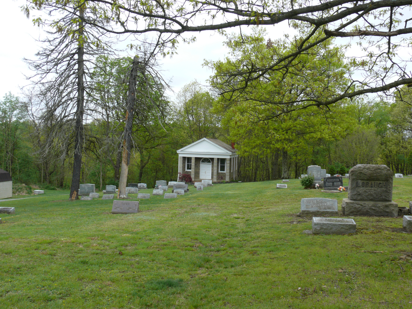
This chapel featured in the film that I quoted. Yes, it's Night of the Living Dead.
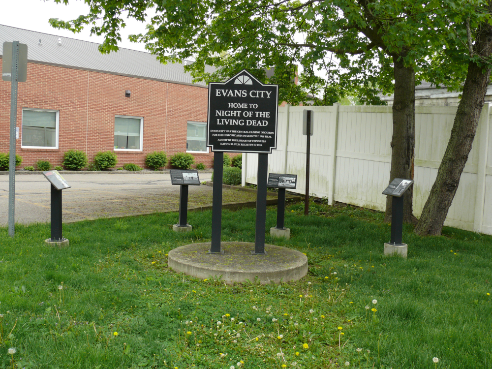
Behind the library in downtown Evans City is this exhibit dedicated to the film. One plaque shows the chapel.
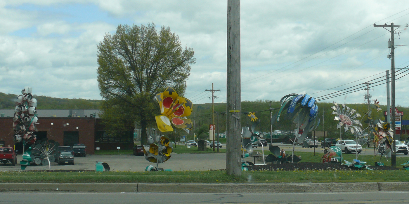
In Meadville near a busy intersection, the PA DOT has created flowers from traffic signs! Click for a larger view.
I continued to the Town of North East. I stopped at a winery to ask where a local motel was located. I was the only customer so Bryan and I spoke for quite some time about wine and travel. He was off to Europe in a week so I gave him some tips. I ended up buying two bottles of wine as gifts, before checking in at the nearby Old Colonial Inn.
The next day I returned home. The trip had lasted ten days and amounted to about 5,200 miles! The lowest oil pressure that I saw was 21 psi. I was perfectly happy with that pressure!
Remember that this trip was a continuation of Part One. I have a large map, courtesy of one of my employers. I marked it with the sites for both trips. The route of Part One is blue and Part 2 is yellow. You may see the map here.
 |
Copyright © 2002 - 2024 Billsuniverse.com