 |    |
Sunflower Mine
(April 2023)
Mike had attempted to reach Sunflower Mine twice before. Could we make it this time?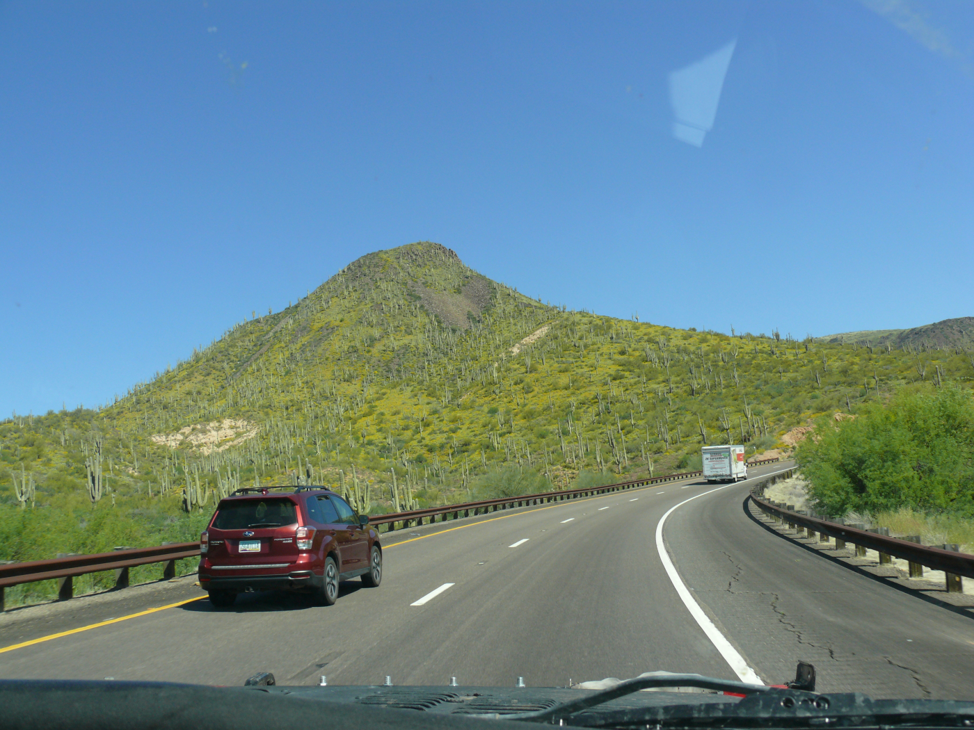
On the way to Sunflower Mine in Tonto National Forest, I snapped a decent photo. Click for a larger view.
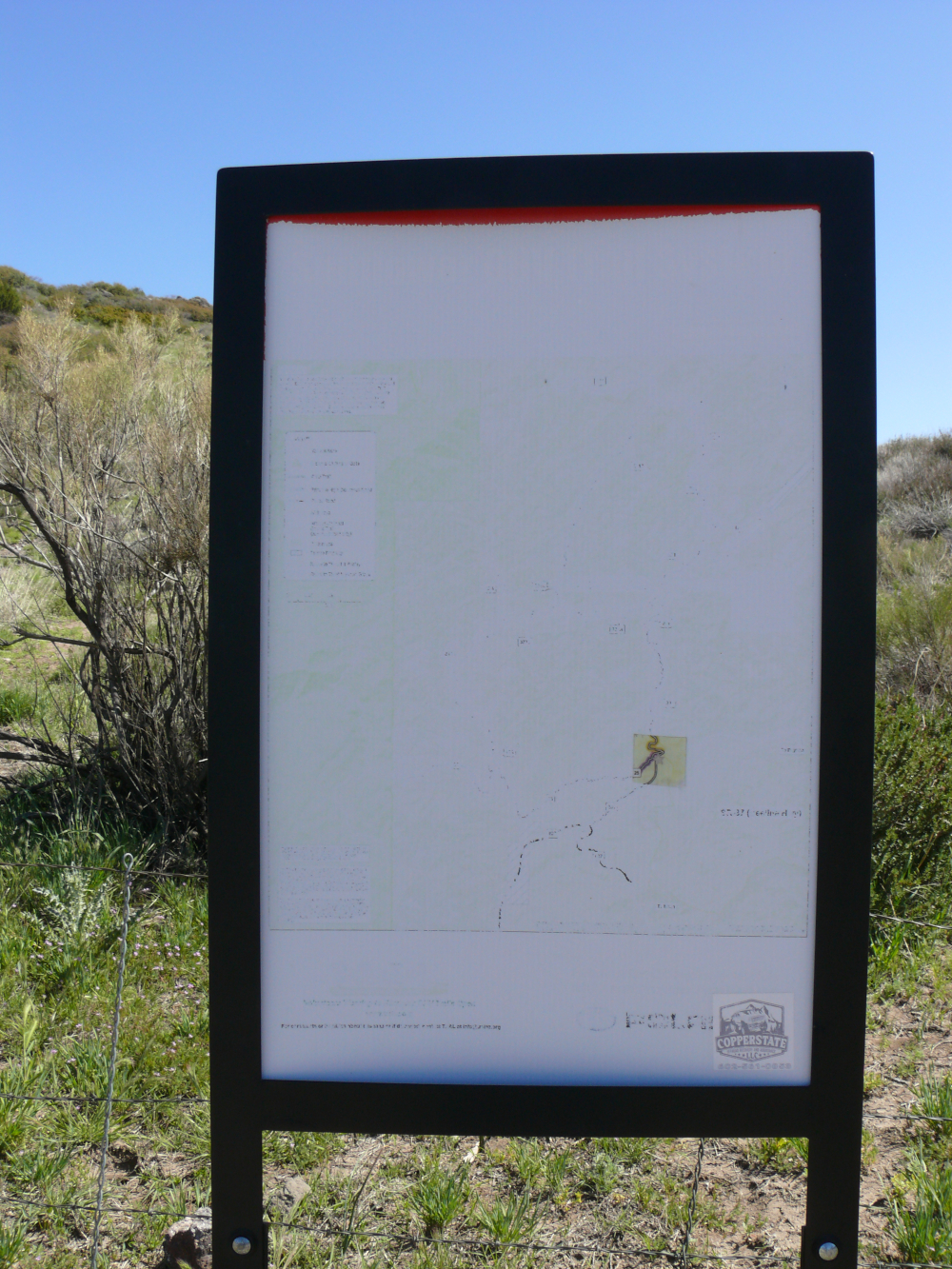
When we stopped to deflate the tires, I snapped a photo of the trail map. It'll be a big help

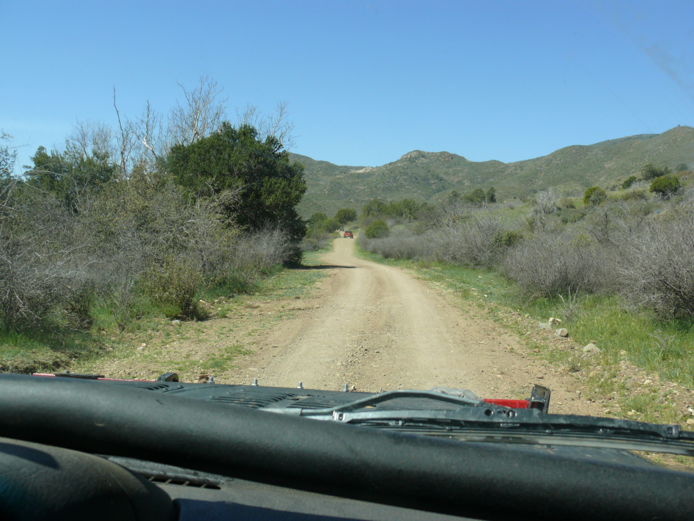
Rather quickly, we caught up with two Jeeps and a side-by-side. There are two routes to the mine, so we decided to take the one that they didn't take.
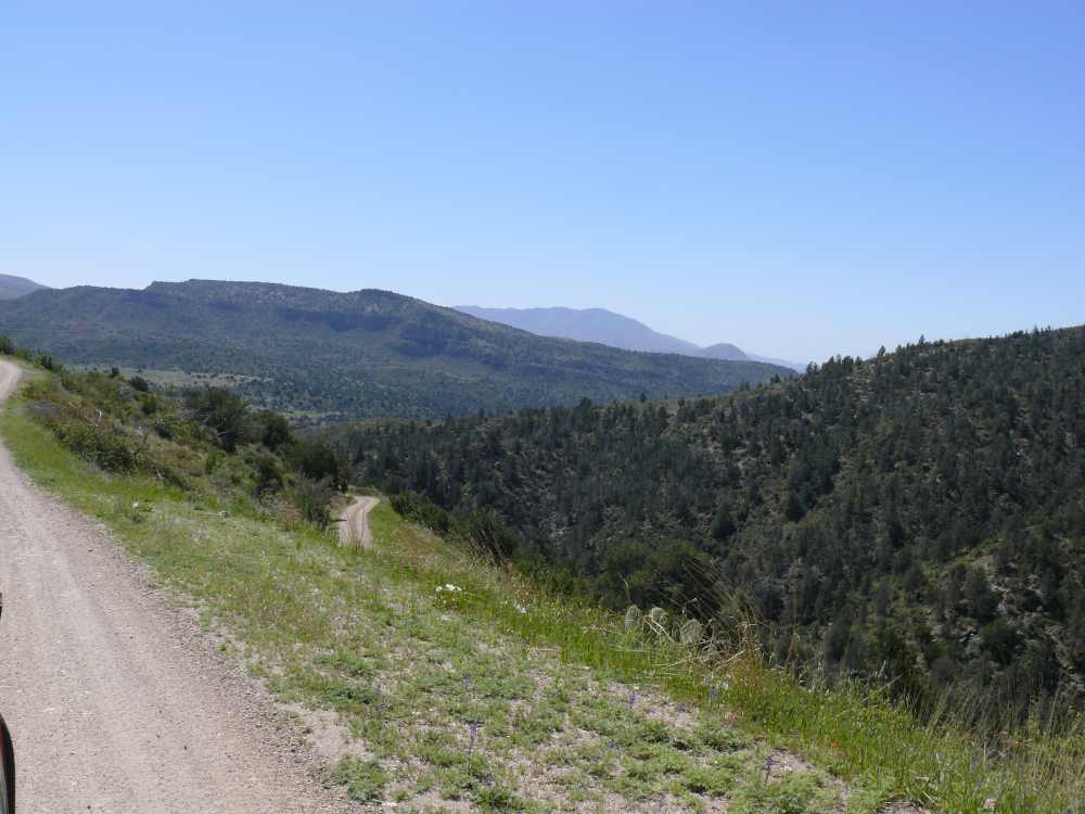
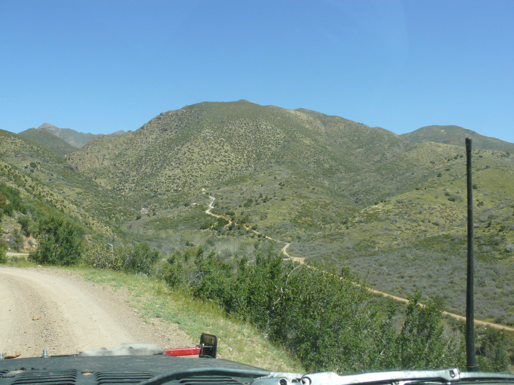
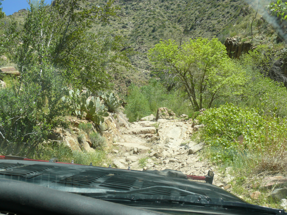
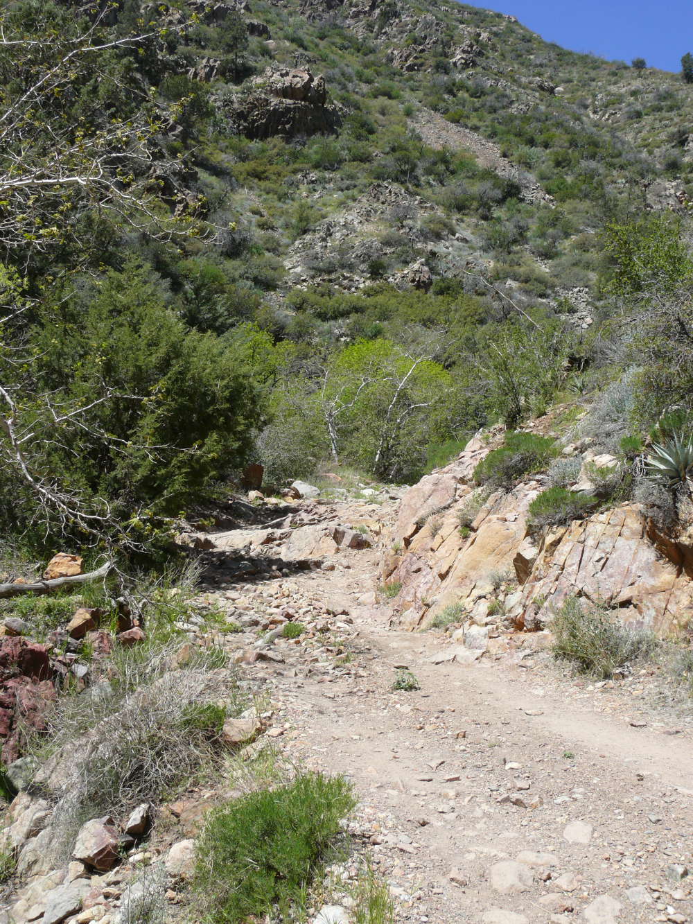
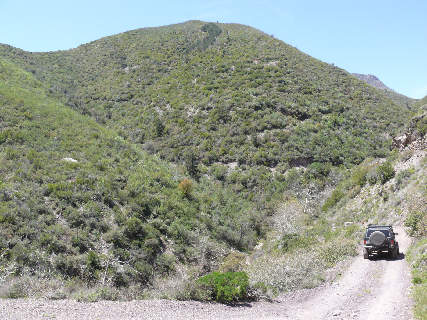
The very well-groomed trail quickly climbed as you can see above.
We thought it was going too easily, and it was. The trail became a hiking trail.
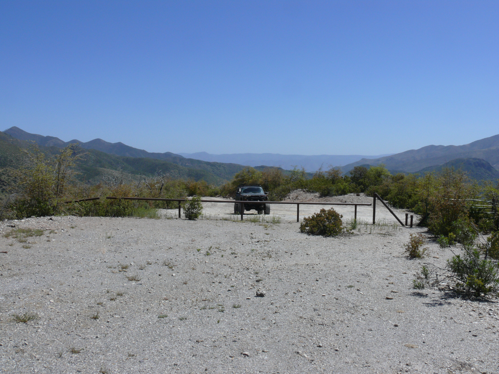
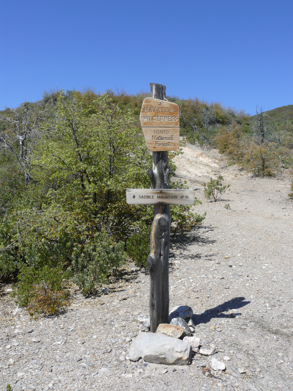
To stop us from driving along a hiking trail, as we accidentally did in Canyonlands, a large barrier had been installed.
We turned around and could see the other trail to the mine.
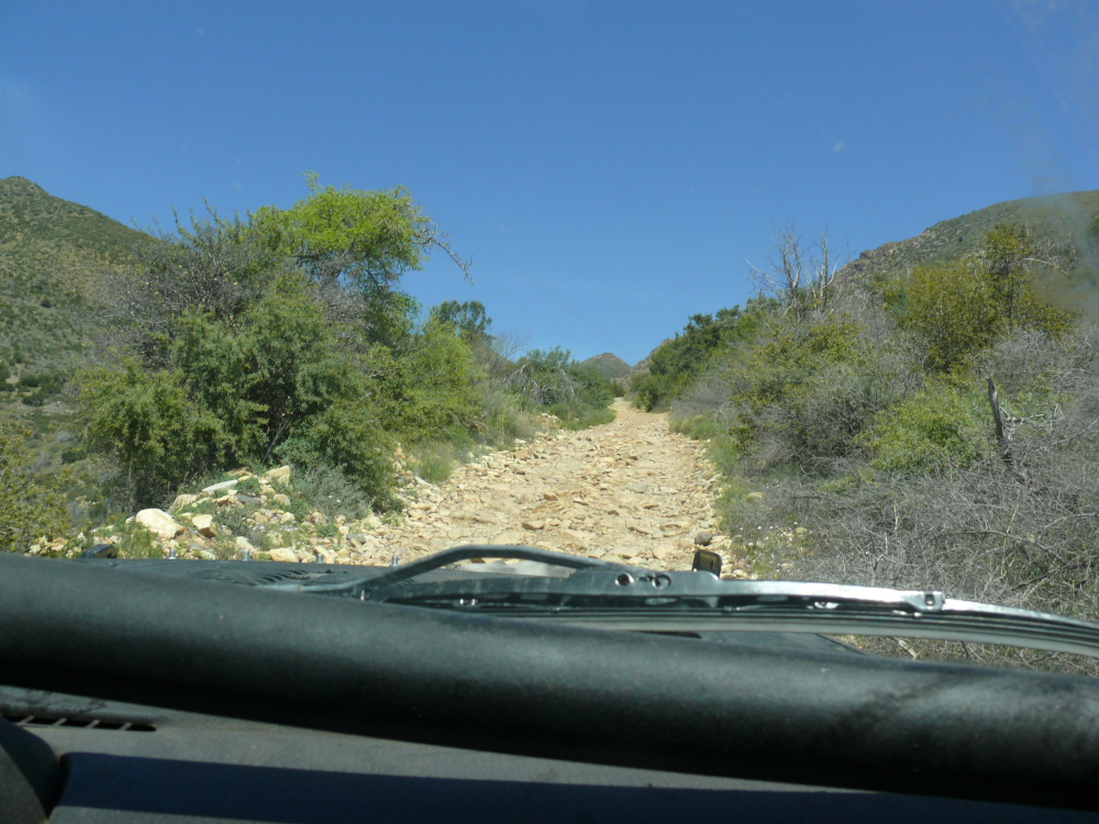
This trail was not as well maintained.
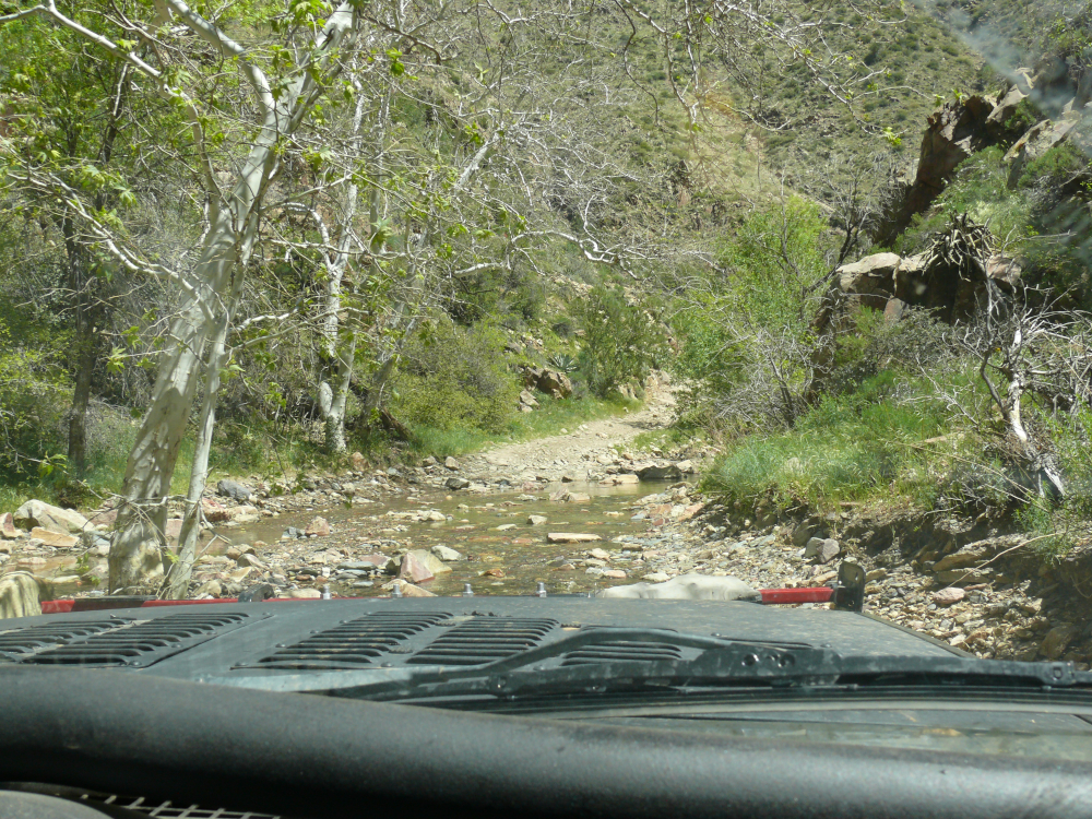
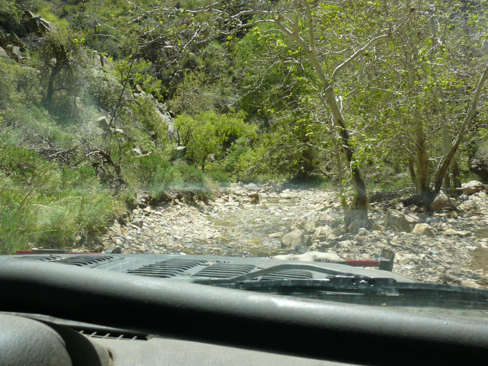
We crossed this creek several times. I believe that its name is Sycamore Creek.
We caught up with the Jeep group. They had turned around citing poor trail conditions. Mike offered to take point and lead them to the mine. They declined and kindly let us pass.
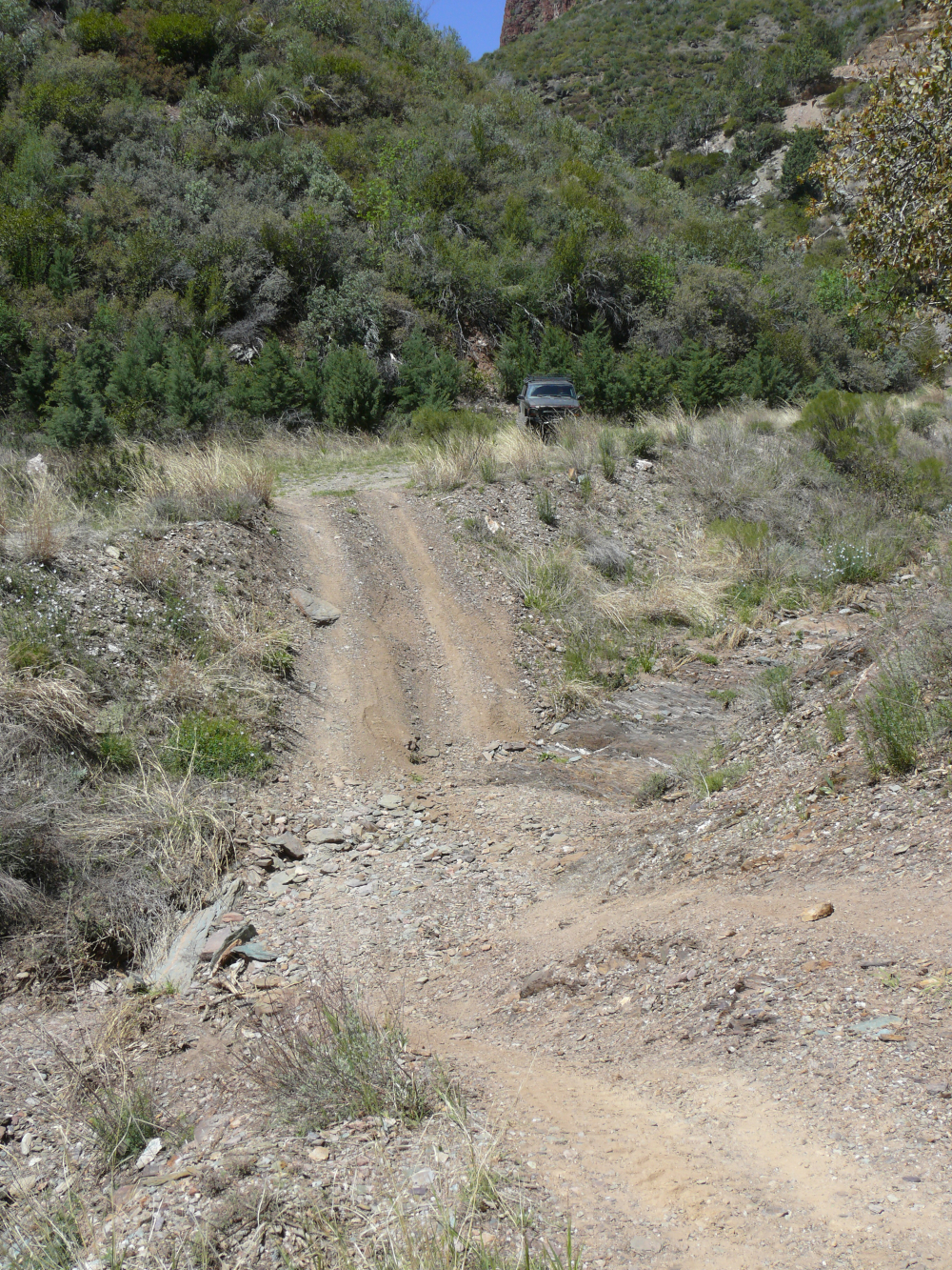
We used an online guide to navigate to the mine. Pictured above is the first boulder field.
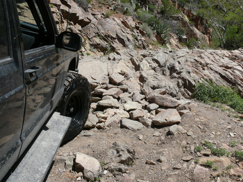
After crossing the creek again, we encountered the first "get out and look" obstacle. After I added some stones to the existing ramp, which had been stacked by other drivers; I decided to videotape Mike traversing the obstacle. I apologize for the low quality video. My camera takes decent photographs but not videos. Click the following link to view it. Be sure to watch the tires: m1.m4v (6 MB).
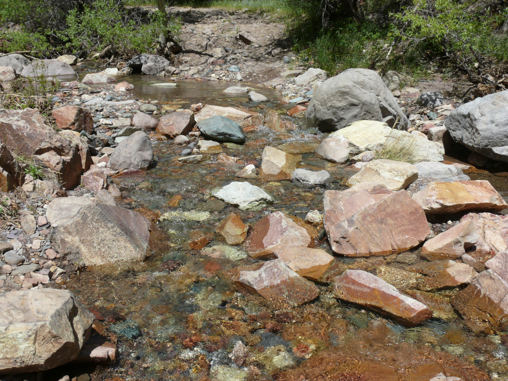
After the boulder field, we encountered the creek again. Someone with a sense of humor had moved a street sign before this ford. Yes, this ford looks like a pleasant place to walk across. Driving a nearly three-ton vehicle is another matter! I took a video (26 MB) of the Jeep crossing this ford. In it you can hear me mumbling to myself. Mike's dashboard camera records video continuously, as you know. The camera is equipped with an accelerometer that detects a collision and collects video before and after the incident as an "emergency video". To drive home how nasty the crossing was the emergency video footage may be viewed at this link: m3.m4v (81 MB).
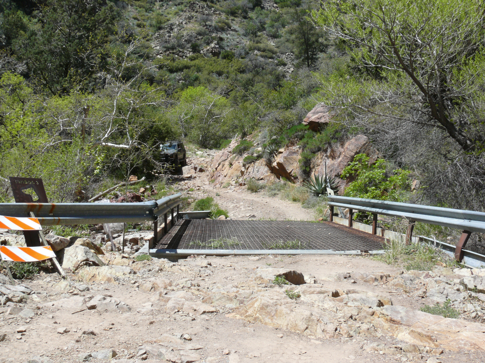
The trail eased before we reached the new bridge paid for by the Arizona OHV fund. (The original was destroyed by Viper Militia Group in the '90s.) I forgot to take a photo of it on the way to the mine, so here's a shot of it when we crossed it for the second time!
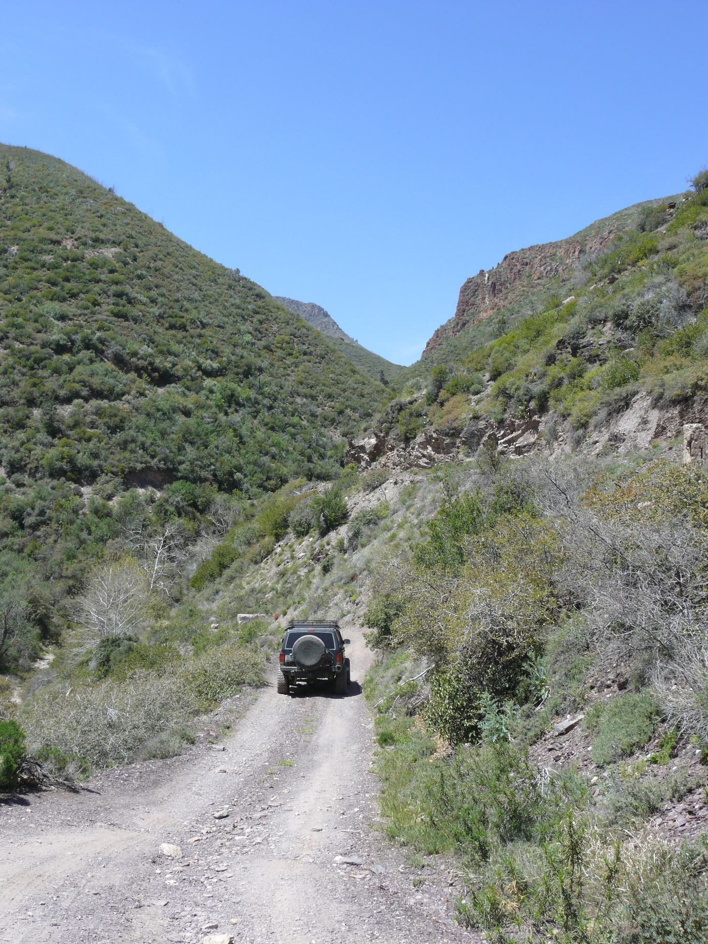
On the other side of the bridge was a washed-out area. Though, we could tell that we were getting close, because the mountain was quite close.
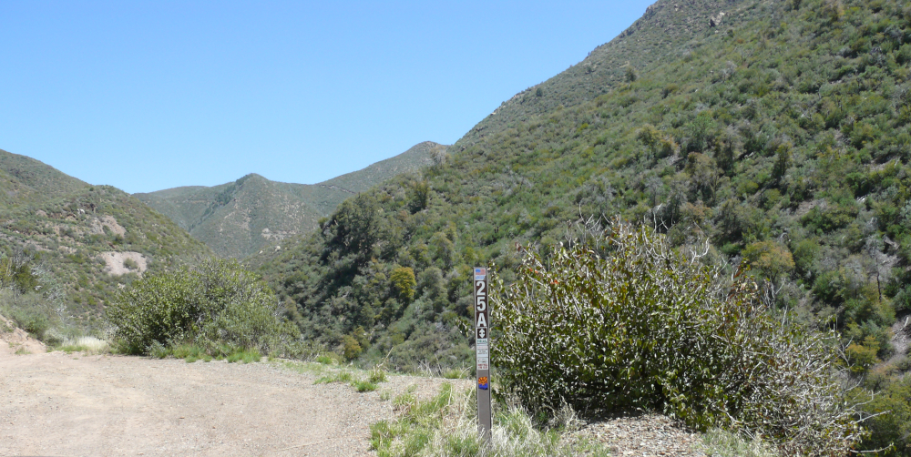
We reached a junction. We had travelled along Route 25A and made a sharp left turn to meet the mine.
I messed up and directed Mike down a nasty wash, hoping to see some mine workings before reaching our goal. When the trail continued to deteriorate, we turned around. The trouble was that we had to go through that wash again. Steep, off-camber, and dramatic allowed the front locker to shine! I'll admit that I wondered if the Jeep would roll over, which is why I backed away while recording the video. Exterior video: m4.m4v (8 MB) & interior video: m5.m4v (77 MB) (I muted the dash cam footage to keep this page G-rated)
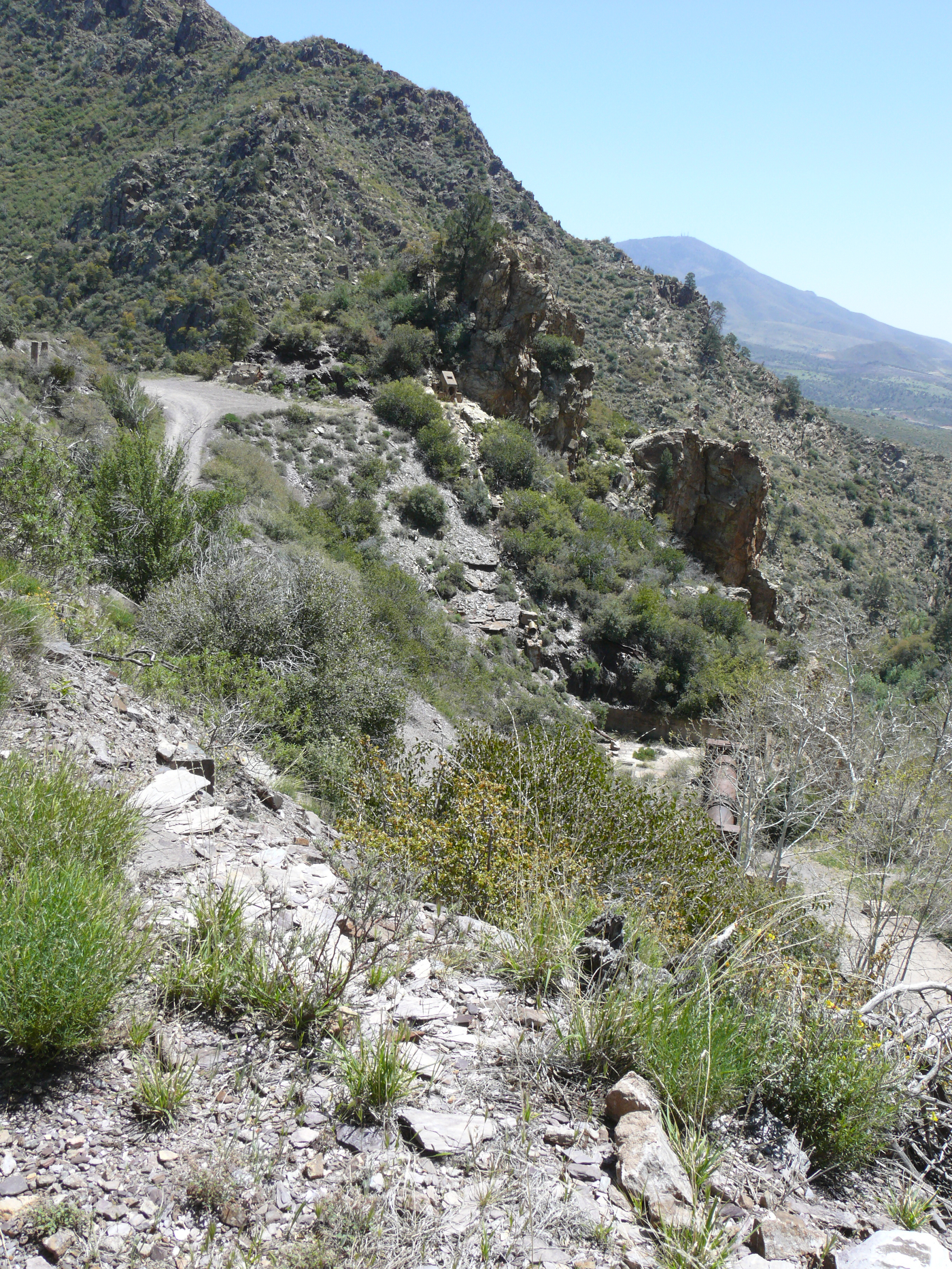
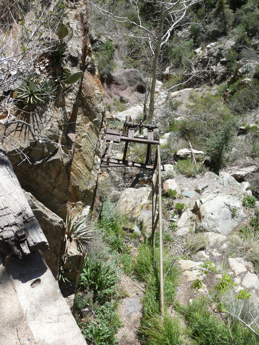
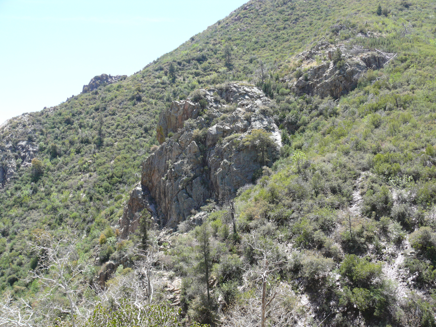
Finally, we saw what remains of the mine. Click for a larger view.
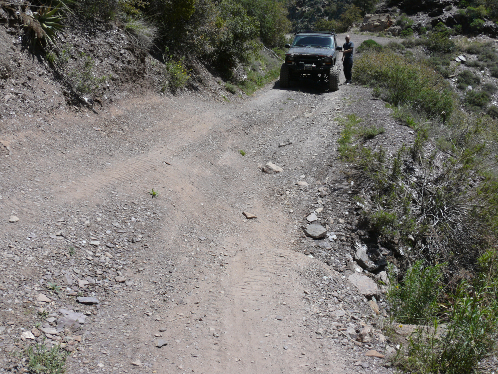
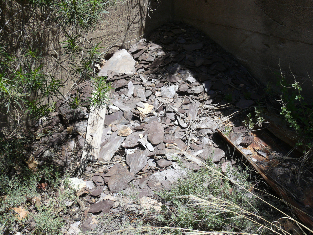
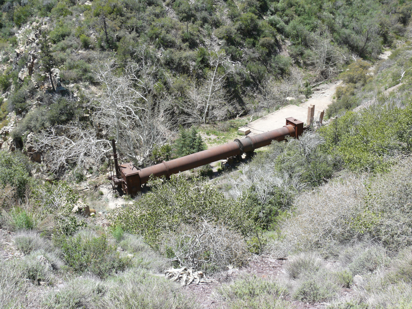
A severely washed-out section of the trail down to the mine meant that we had to leave the Jeep behind and hoof it.
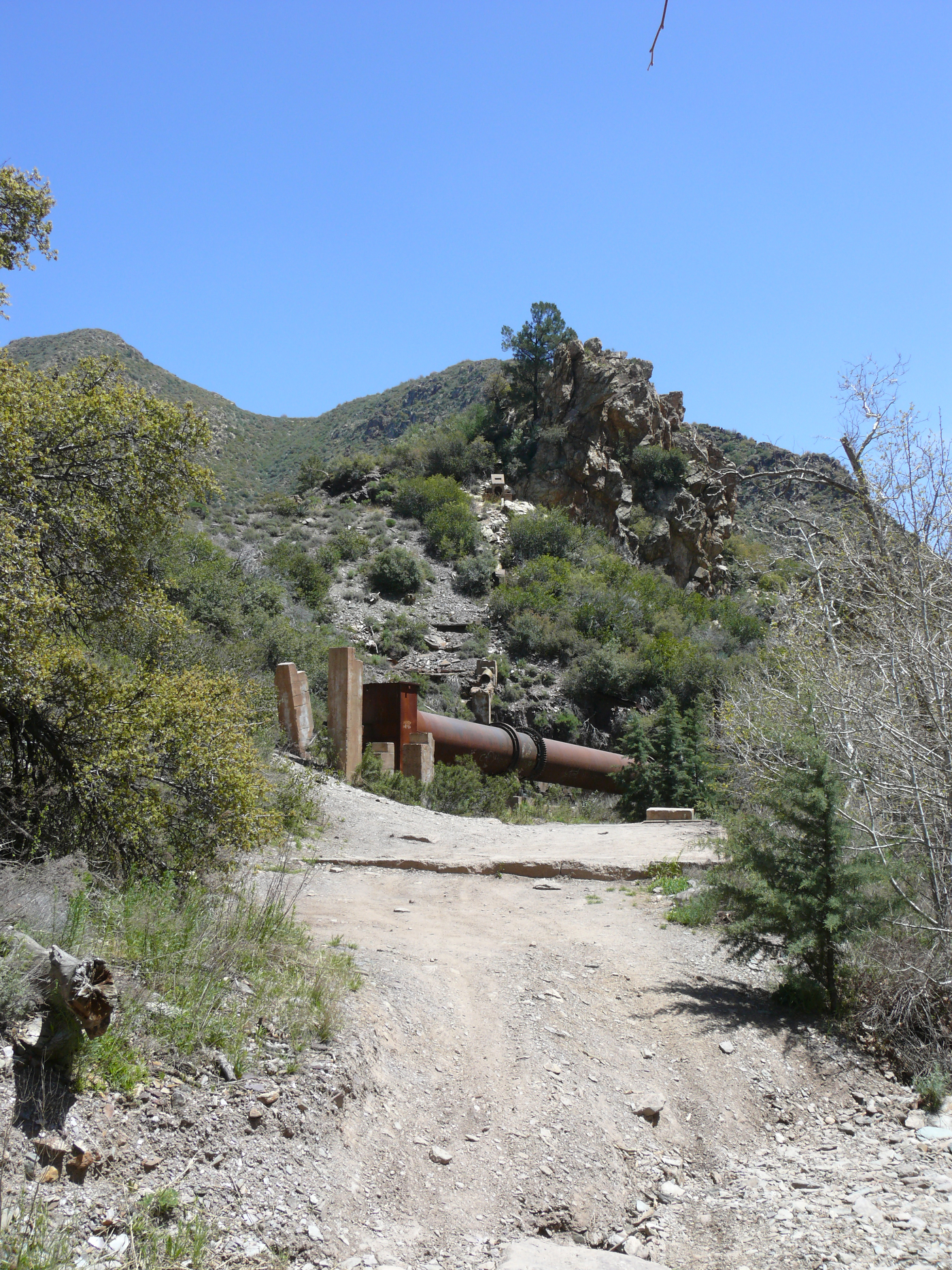
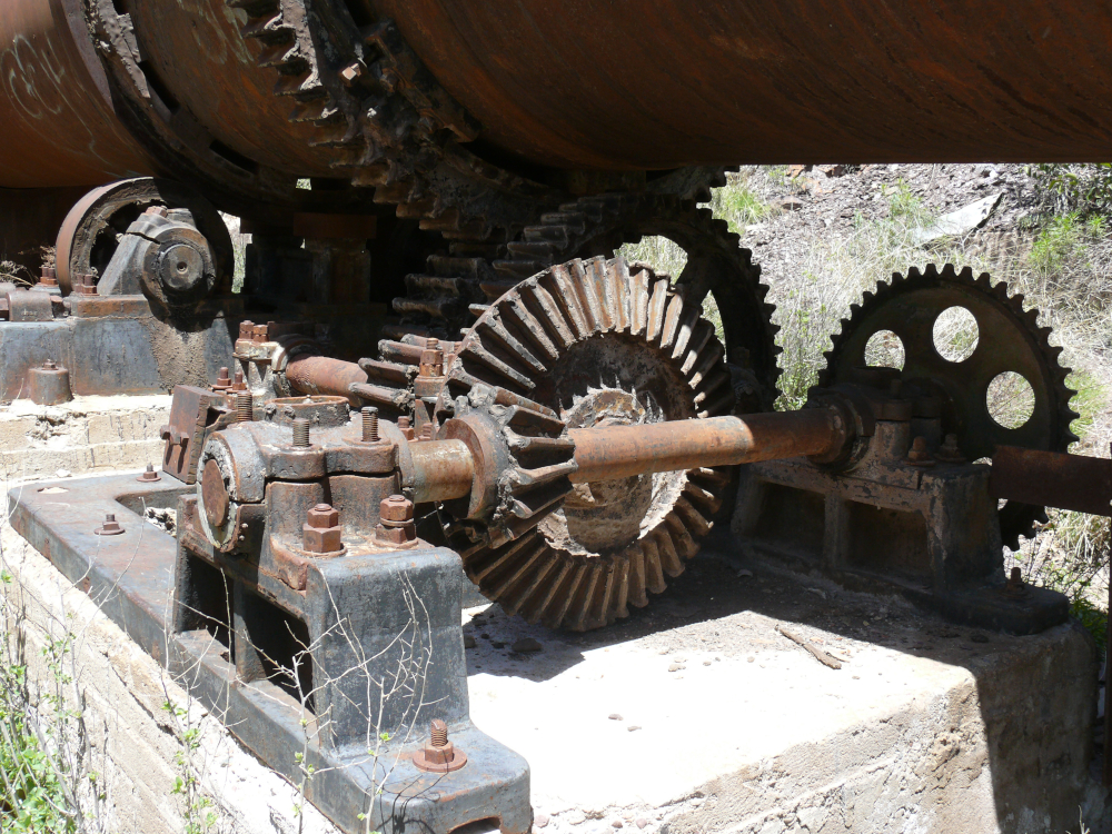
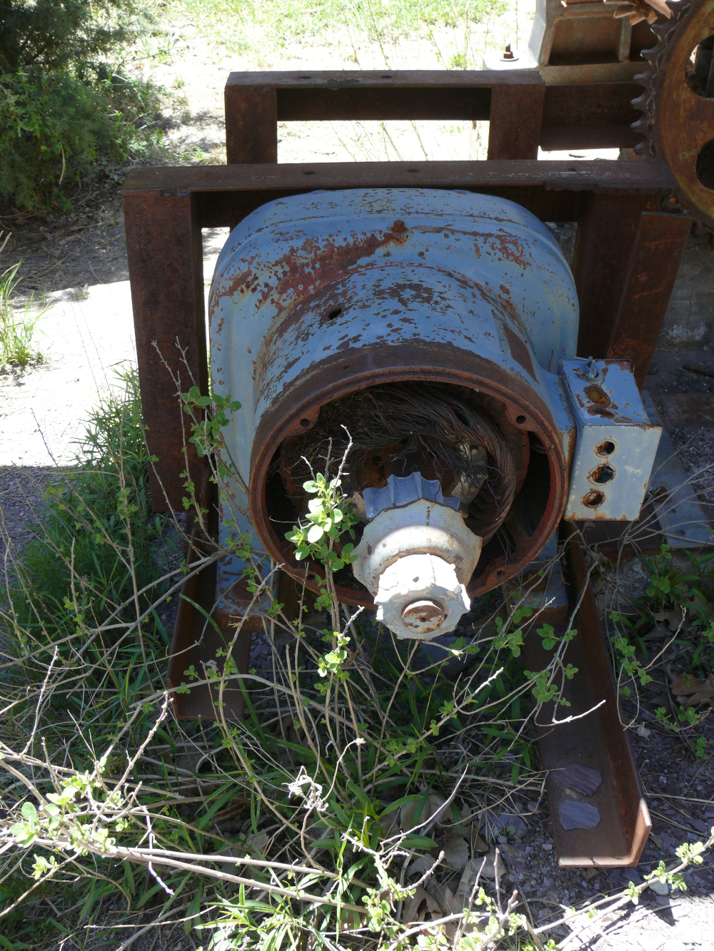
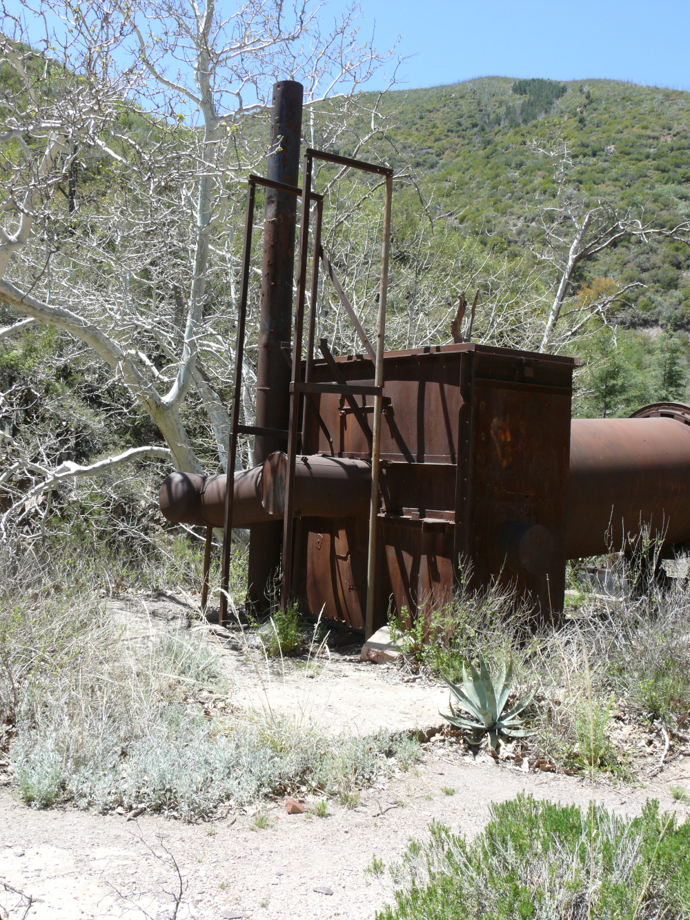
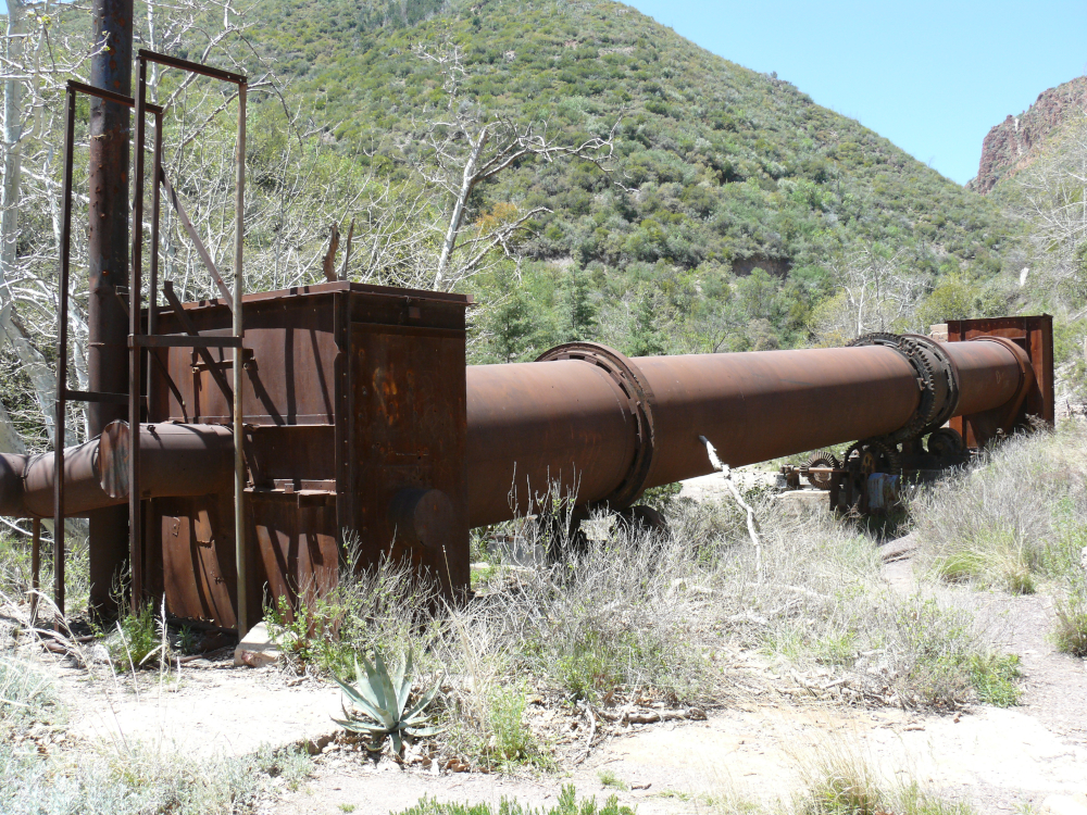
Sunflower Mine yielded mercury. I've very little knowledge of mining, except that disused mines make pretty photos. The tree limb in the top of the frame was unavoidable, as the site is beginning to overgrow after the fire in 2012. The tumble pipe dominates this rusting mine. Click for a larger view. We took some good shots of the ruins of mine:
 |  |  |  |
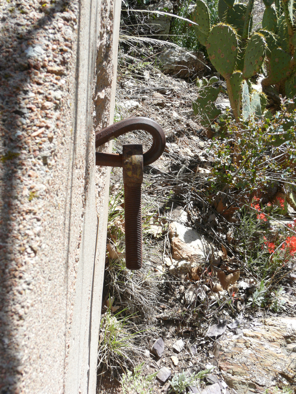 |  |  |  |
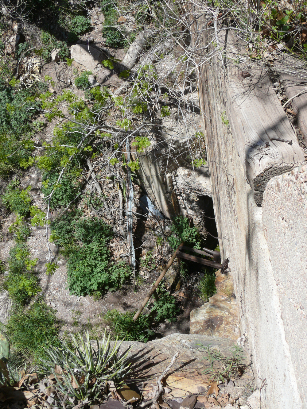
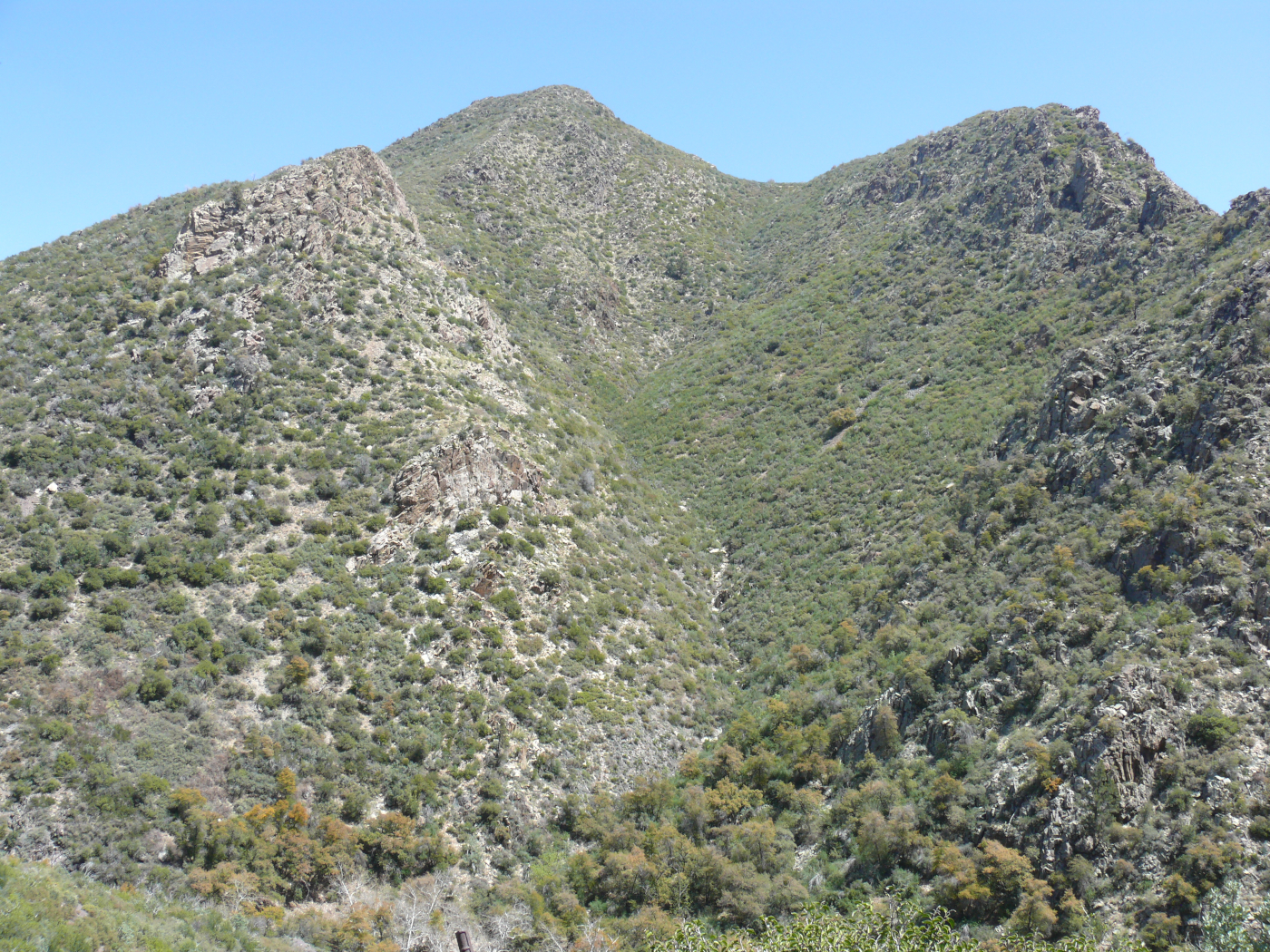
The area is really quite beautiful and remote. Click for a larger view. And after enjoying that view, take a look at these shots:
 |  |  |  |
I believe that without the gigantic washed-out section, this trail would have been noticeably easier than the "Back Way to White Tank". Like that trying trip, we encountered a hiker. There seems to be a push in Arizona to turn OHV paths into hiking trails. It's definitely easier to maintain a hiking trail than one for vehicles. Hikers will climb over just about anything. Vehicles haven't that capability. Now, I enjoy hiking and walk every day that I can; however, there will never be a replacement for the motor vehicle. It can carry much more weight and passengers in air-conditioned comfort!
 |
Copyright © 2002 - 2024 Billsuniverse.com