 |    |
"Back Way to White Tank"
(February 2023)
Mike suggested that there must be a trail to the antennas atop White Tank Mountains. What we found was challenging.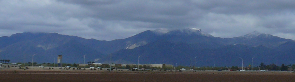
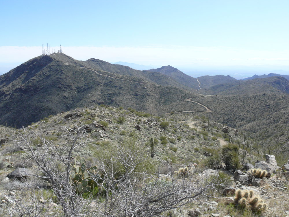
From the valley floor, there appears to be two sites of towers. Though the summits are not always clear, click to see what I mean.
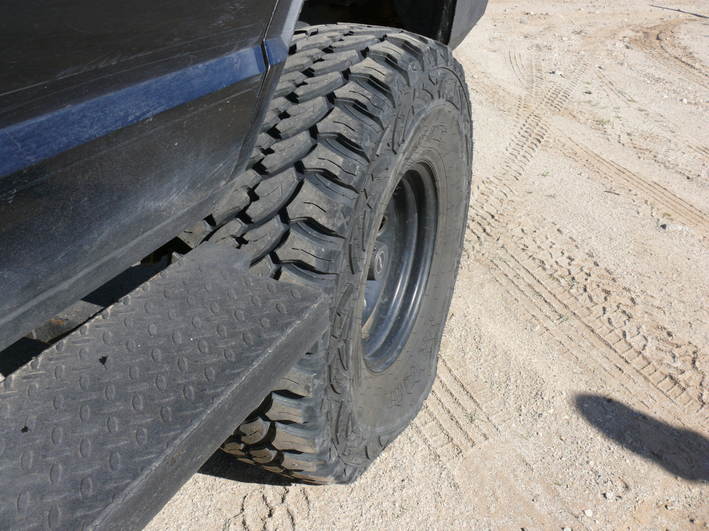
We aired down the tires once we got off road. Meanwhile, I took a video of the north side of the White Tank Mountains.

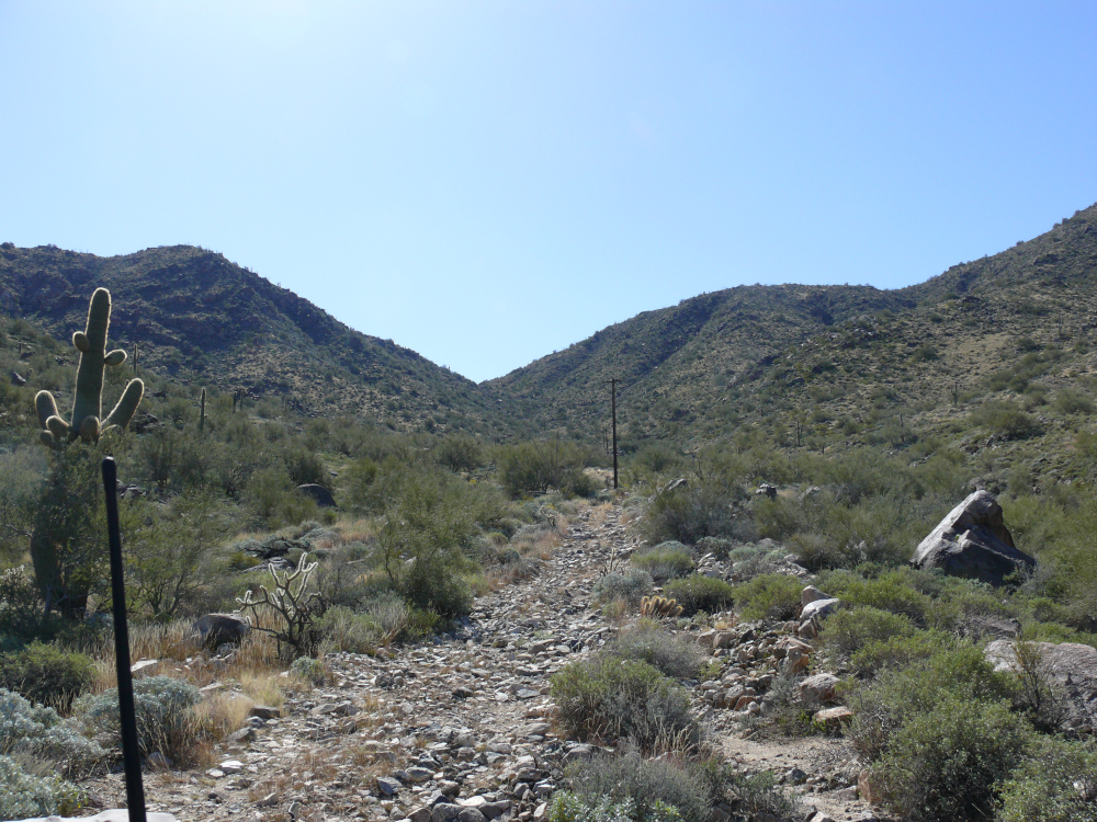
The trail was easy and lined with barbed wire.
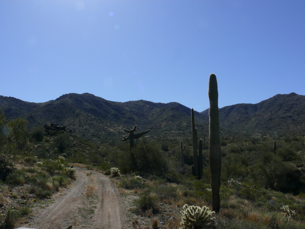
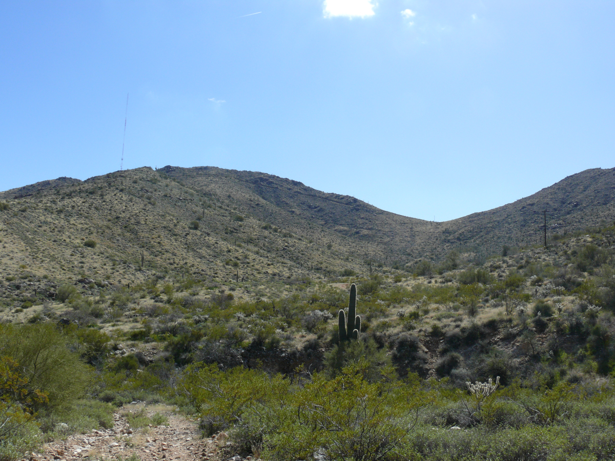
After navigating the complicated junction using Google Maps--we had been taken a wrong turn in a previous attempt--we began to climb. That's when we noticed this unusually-shaped Saguaro. We encountered a hiker. He seemed speechless. Maybe his silence was caused by something more than impersonalism?
As we climbed the trail conditions deteriorated. Mike's dash camera collected the video [18.4 MB/55 sec] as we drove next to the powerlines.

We hit our first bad spot. I hopped out to rearrange the trail and help guide. Here's a video [15.8 MB/60 sec].
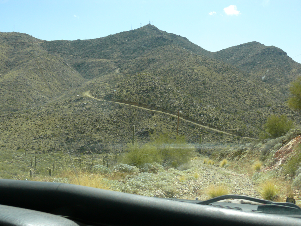
The conditions of the trail continued to decline as we approached the switchback to the pass, and we didn't have time to take photos. Instead, we relied on the dash cam. (Click for a larger view.)
Powering out of the second bad spot is presented in this video [8.4 MB/40 sec].
We approached the third bad spot [18.8 MB/60 sec].
Mike and his Jeep overcame the obstacle and looked forward to smoother ground. See the video here [15.7 MB/60 sec].
We encountered a boulder that was another annoyance. It doesn't look big on dash cam; but it was large enough and in a bad position [1.2 MB/4 sec], because of the dropoff on the left.
Then, there was a washed-out section, and I was concerned, as you can see here [11.6 MB/34 sec]. The dropoff on the left had grown considerably. We rebuilt the trail, and Mike powered out of the mess!
The fourth bad spot was no match for us. Though, I have to admit that the trail looks more like a rocky wash. Take a look [11.2 MB/60 sec].
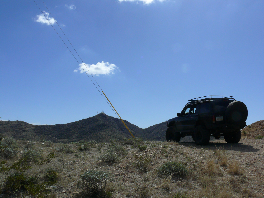
Finally, we made it to D Mark Pass. There's a small grouping of towers on Barry Goldberg Peak. See our triumph climb to the pass here [8.5 MB/60 sec].
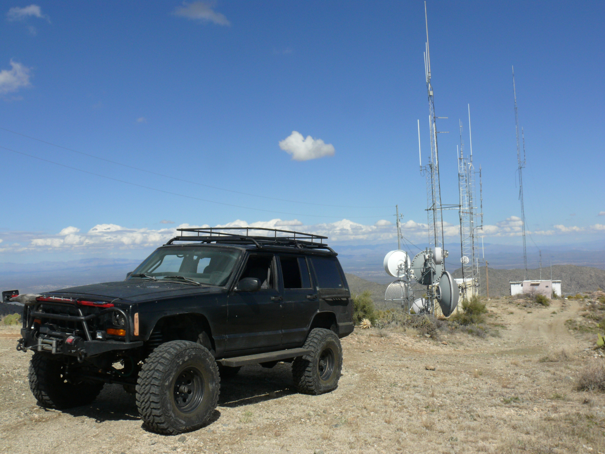
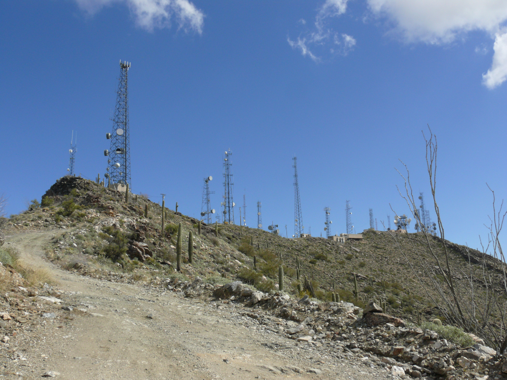
We continued on the now, well-carved trail to the main antennas.
The trail was rather easy, so here's a shot from the peak adjacent to Barry Goldberg Peak. The Jeep looks good in "fat shoes". We didn't spend too much time up there, because microwave relay transmitters tend to boil water, with obviously negative effects on humans! I did take a shot of the valley. Somewhere down there is where we live. Click for a larger view.
We were quite worn out by now as we resumed along a well-groomed trail to the main site of antennas.
Umm, yeah. It's probably best not to become glasses of "ugly bags of mostly water" in a microwave oven! We were also OK saying, "yeah, that's close enough to claim that we were there."
It did allow us to see Goldberg Peak and the north cluster of antennas together.
Easy street back to the city!
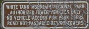
We wondered why we were so exhausted. Were we getting old? Um, no. At the boundary with the White Mountains Regional Park, we understood our fatigue. Click for a larger view of the sign.
"Road not passable beyond towers" is the important phrase on that sign.
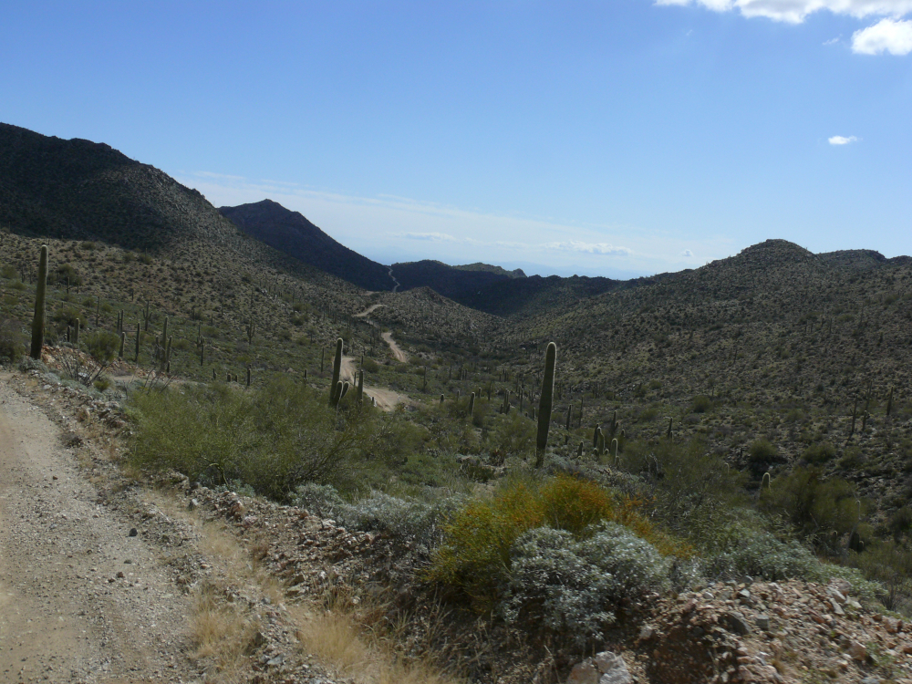
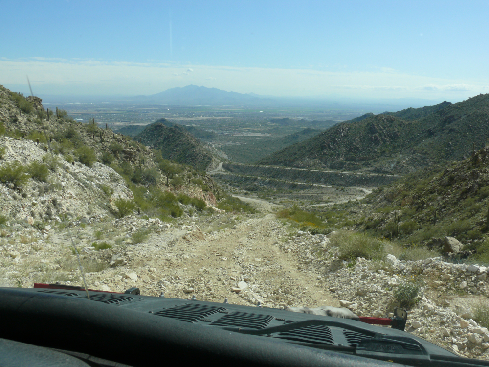
The trail was so much easier as we descended. I believe that Estrella Mountain is visible in the background. Out of frame to the left, should be South Mountain. Today, tourists easily find their way to the antennas atop that mountain in normal cars. (I've done it myself.) I wonder if White Tank will follow suit as the city grows.
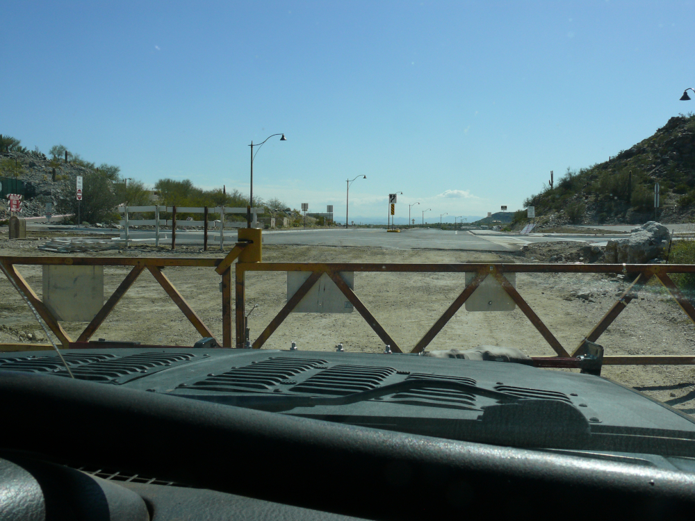
So close to pavement, we met a locked gate. That's when the true fear set in: would we have to backtrack? Could we do it? After all, the sign stated that the road is impassable. We did make an impression on the "paved" world, because a cyclist doubled-back to see if we could breach the barrier. We could not and turned around.
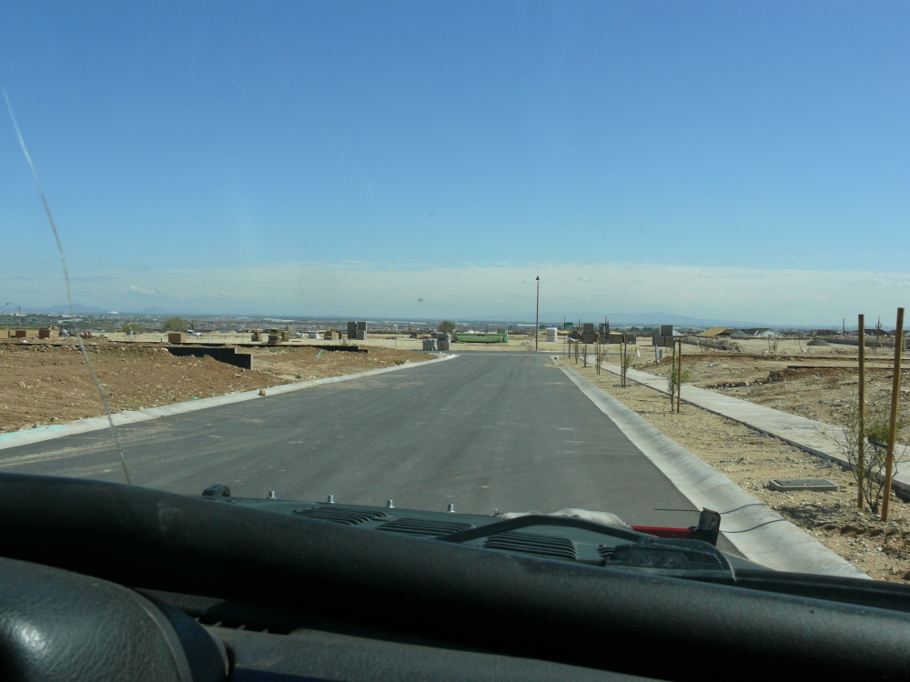
Fortunately, Mike is not only an awesome off-road driver but also has a lot of grace underpressure. He spied a potential exit. And, would you know it, it was not gated! I'll admit that I was never happier to see the roads of a future housing development!
 |
Copyright © 2002 - 2024 Billsuniverse.com